Click to visit the main New York Public Library Homepage
The New York Public Library
Digital Collections
About Digital Collections
Browse
Search only public domain materials
Items
Collections
Divisions
Home
Search
Browse
About
Search only public domain materials
Items
Collections
Divisions
Digital Collections
Using Images
Using Data
Search
Filtered keyword search
Show filters
Hide filters
Show Only Public Domain
topic
Real property
135
Fire insurance
50
Cities & towns
48
Zoning maps
37
Maps
8
More
Less
name
New York (N.Y.). Department of City Planning
88
Ashworth, Irving F
87
Ullitz, Hugo
58
E.B. Hyde & Co
54
E. Belcher Hyde Map Company
51
More
Less
collection
x
Atlases of New York City
place
New York (N.Y.)
150
New York (State)
144
New York
90
Brooklyn (New York, N.Y.)
60
Maps
47
More
Less
genre
Maps
294
Book covers
2
Tables
2
Cadastral maps
1
Index maps
1
More
Less
publisher
E. Belcher Hyde
55
Sanborn Map Company
50
New York (N.Y.). Dept. of City Planning
37
G.W. Bromley & Co
27
E. Robinson Co
11
More
Less
division
Map Division
299
type
cartographic
294
text
7
Date Range
to
300 results found for:
x
27
Filtering on:
x
Collection
: Atlases of New York City
For more collection details, visit the
Atlases of New York City collection page
.
Sort by:
Relevance
Title
Date created
Date digitized
Sequence
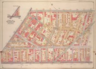
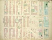
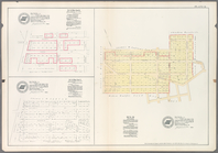
…, Double Page Plate No.
27
; Part of Wards
27
& 28
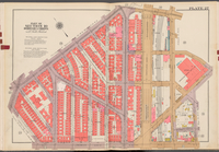
Plate
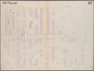
27
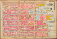
: [Bounded by Bedford Avenue, Montgomery
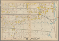
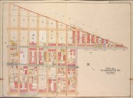
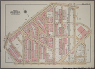
Plate
27
: Bounded by Withers Street, Kingsland
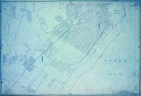
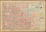
Use Zoning Map Section No.
27
Use Zoning Map Section No.
27
add
Bounded by Flushing Avenue, M…
collection:
… &
27
. Land Map Sections, Nos. 18 &
27
. Volume
Height Zoning Map Section No.
27
Map or Plan of Section
27
. [Bounded
…; Part of Wards 18 &
27
…; Part of Wards
27
& 28
Bounded by Bedford Avenue, Ma…
collection:
Plate
27
Plate
27
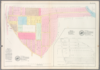
: Map bounded by Schermerhorn
Bounded by Ocean Avenue, Emmo…
collection:
Plate
27
….
27
: [Bounded
note:
… County, N.Y. - Map No.
27
…, 18, 19,
27
& 28. City
…; Part of Ward
27
…; Part of Wards
27
& 28
Height District Map Section No.
27
Use District Map Section No.
27
Plate
27
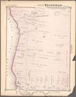
Part of Westfield
collection:
Section
27
Sheet No.
27
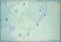
. [Includes Prall's Island
Area District Map Section No.
27
Plate
27
: Map bounded by Montgomery
Plate
27
, Part of Section 2
Area Zoning Map Section No.
27
Bronx, V. A, Plate No.
27
[Map bounded
Bronx, V. B, Plate No.
27
[Map bounded
Area District Map Section No.
27
Double Page Plate No.
27
, Part
Plate
27
, Part of Section 2
Plate
27
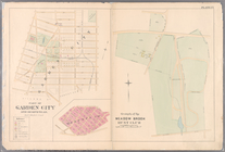
: Village of Part of Garden City
m
Plate
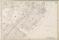
27
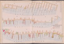
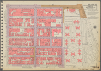
: Piers from Battery to 14th St
Plate
27
, Part of Section 2
Use District Map Section No.
27
Area District Map Section No.
27
Height District Map Section No.
27
Area District Map Section No.
27
Height District Map Section No.
27
Use District Map Section No.
27
… of Maps, page
27
: [Bounded
note:
…. 3 of Maps, page
27
m
Map
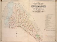
27
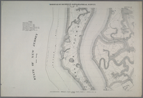
- Richmond
Double Page Plate No.
27
, Part
parent:
57a
27
a00-306c-0132-8e1c-58d385a7bbd0
Plate
27
, Part of Section 10, Borough
Double Page Plate No.
27
, Part
Brooklyn Vol. A Plate No.
27
[Map
Brooklyn Plate No.
27
[Map bounded
Brooklyn V. 3, Plate No.
27
[Map
Brooklyn V. 5, Plate No.
27
[Map
Brooklyn V. 3, Plate No.
27
[Map
1
2
Previous
Next
1
2
Previous
Next