Click to visit the main New York Public Library Homepage
The New York Public Library
Digital Collections
About Digital Collections
Browse
Search only public domain materials
Items
Collections
Divisions
Home
Search
Browse
About
Search only public domain materials
Items
Collections
Divisions
Digital Collections
Using Images
Using Data
Search
Filtered search
Show filters
Hide filters
Show Only Public Domain
topic
Real property
401
Fire insurance
182
Cities & towns
165
History
34
Atlases, British
33
More
Less
name
Sanborn Map Company
165
G.W. Bromley & Co
79
Fairchild Aerial Camera Corporation
62
New York (N.Y.). Bureau of Engineering
62
Tuttle, Arthur S. (Arthur Smith), 1865-1949
62
More
Less
collection
Atlases of New York City
461
Maps of North America
208
Atlases of the United States
161
Lawrence H. Slaughter Collection of English maps, charts, globes, books and atlases
120
Maps of New York City and State
85
More
Less
place
New York (State)
471
New York
168
New York (N.Y.)
128
Manhattan (New York, N.Y.)
95
Maps
88
More
Less
genre
Maps
1178
Atlases
161
Prints
38
Topographic maps
29
Cadastral maps
19
More
Less
publisher
Sanborn Map Company
166
G.W. Bromley & Co
70
E. Belcher Hyde
42
Printed at the Theater,
27
F. W. Beers & Co
22
More
Less
division
Map Division
1104
General Research Division
24
Rare Book Division
21
Manuscripts and Archives Division
12
Wallach Division: Print Collection
10
More
Less
type
x
cartographic
text
17
still image
15
Date Range
to
1,199 results found
Filtering on:
x
Title
: DINNER IN HONOR OF COLONEL FRANCIS MICHLER [held by] METROPOLITAN CLUB [at] "WASHINGTON, D.C." (CLUB;)
x
Type
: cartographic
Sort by:
Title
Date created
Date digitized
Sequence
Le Ruyavme d Abyssinie ou lem…
Western Siberia, Independent …
Bokhara, Cabool, Beloochistan…
The Panjab with part of Afgha…
New map of the great metropol…
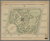
Design for laying out the gro…
Grouping of troops and other …
Plan du port, ville, citadell…
m
Plan of the Land in Haverhill…
Plan d'ensemble de la cité ou…
Plan d'ensemble de la cité ou…
m
N.Y.C. & H.R.R.R. Electric Zo…
m
Map of Washington County, New…
m
Carte d'une partie de l'Etat …
m
Cosmographey oder beschreibun…
Carte hydrogéologique, Républ…
La herdike enterprinse faict …
Map of 7 Washington Sq.
St. Jean D'Acre
Nea-Polynesia, or the islands…
Map of Wisconsin designed to …
Washington and vicinity, Mary…
Johnson's Georgetown and the …
Portion of the Military depar…
Colton's Georgetown and the c…
Planta topografica della citt…
Rouine d'un Tempio d'Iside pr…
Map showing route of marches …
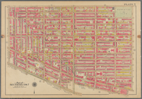
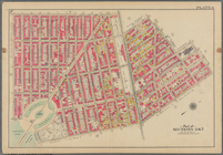
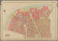
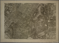
Bounded by Avenue D., Ralph A…
Bounded by 72nd Street, 22nd …
Bounded by S. 11th Street, Be…
Bounded by Lafayette Avenue, …
Bounded by Fifth Avenue, Atla…
Bounded by Plymouth Street, W…
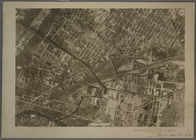
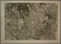
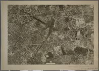
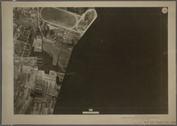
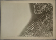
9C - N.Y. City (Aerial Set).
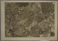
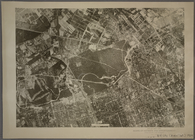
9D - N.Y. City (Aerial Set).
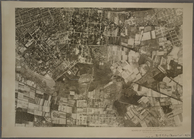
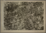
10C - N.Y. City (Aerial Set).
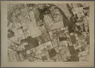
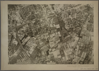
10D - N.Y. City (Aerial Set).
11C - N.Y. City (Aerial Set).
11D - N.Y. City (Aerial Set).
12C - N.Y. City (Aerial Set).
12D - N.Y. City (Aerial Set).
13C - N.Y. City (Aerial Set).
13D - N.Y. City (Aerial Set).
14C - N.Y. City (Aerial Set).
14D - N.Y. City (Aerial Set).
15C - N.Y. City (Aerial Set).
15D - N.Y. City (Aerial Set).
16C - N.Y. City (Aerial Set).
16D - N.Y. City (Aerial Set).
1
2
3
4
5
Previous
Next
1
2
3
4
5
Previous
Next