Click to visit the main New York Public Library Homepage
The New York Public Library
Digital Collections
About Digital Collections
Browse
Search only public domain materials
Items
Collections
Divisions
Home
Search
Browse
About
Search only public domain materials
Items
Collections
Divisions
Digital Collections
Using Images
Using Data
Search
Filtered keyword search
Show filters
Hide filters
Show Only Public Domain
topic
x
Piers
Local transit
48
Railroads
37
Administrative and political divisions
30
Buildings
16
More
Less
name
G.W. & C.B. Colton & Co
6
Matthews-Northrup Company
6
Rand McNally and Company
6
Dripps, M. (Matthew)
5
Watson, Gaylord
5
More
Less
collection
Maps of New York City and State
88
Maps of North America
2
place
New York (State)
88
New York (N.Y.)
77
Manhattan (New York, N.Y.)
74
New York
45
Brooklyn (New York, N.Y.)
19
More
Less
genre
Maps
90
Cadastral maps
3
Manuscript maps
1
publisher
Matthews-Northrup Co
5
Rand, McNally & Co
5
publisher not identified
5
G.W. and C.B. Colton & Co
3
M. Dripps
3
More
Less
division
Map Division
90
type
cartographic
90
text
1
Date Range
to
90 results found for:
x
maps
Filtering on:
x
Topic
: Piers
Sort by:
Relevance
Title
Date created
Date digitized
Sequence
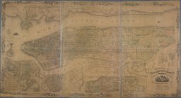
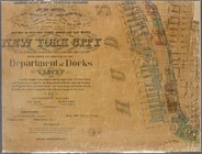
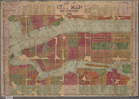
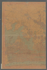
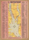
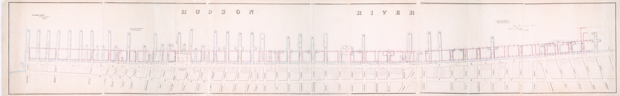
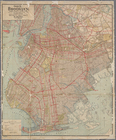
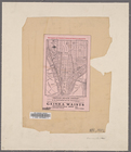
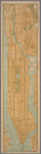
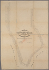
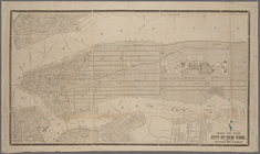
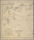
N.Y. City's waterfront.
collection:
Maps
of New York City and State
Map
of wharves and piers on North River
note:
… to Early
Maps
of the Middle
m
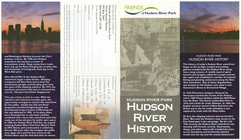
Hudson River Park, Hudson Riv…
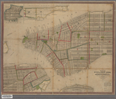
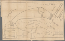
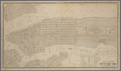
collection:
Maps
of New York City and State
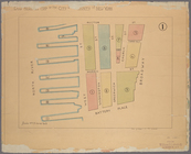
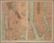
Land register
map
of the City and County of New
m
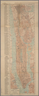
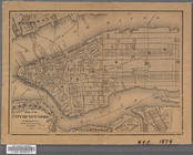
Topographical
map
of New York City, County
note:
Cadastral
map
. Covers the area south
m
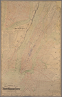
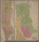
Manuscript
map
of New York City between
New-York :
Map
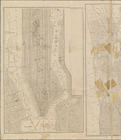
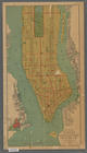
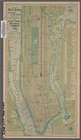
m
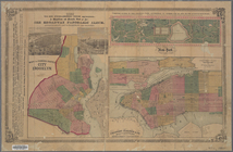
Map
of Manhattan, City of New York
m
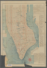
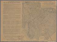
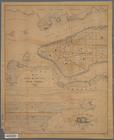
Map
showing the high and low water mark
note:
Harbor cadastral
map
. Covers Manhattan
Map
of the cities of New York and Brooklyn
note:
Cadastral
map
. Covers Manhattan
m
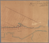
Map
showing the injury to the property
note:
… catalog of the
Map
Guide
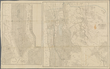
map
of the borough of Brooklyn, Kings
note:
NYPL
Map
Div. copy has accession no
m
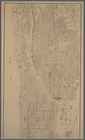
…
map
Map
of northern part of New York City
note:
…"This
map
Map
of northern part of New York City
note:
…"This
map
m
Map
of northern part of New York City
note:
…"This
map
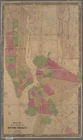
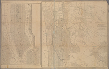
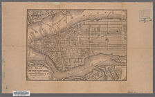
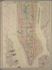
Map
of the city & county of New York
The largest and grandest comm…
collection:
Maps
of New York City and State
Map
of the City of New York
Map
of the lower section of the City of New
m
New York City elevated railro…
note:
On verso: New
map
m
New York City
map
and directory.
m
Map
of the city
note:
…"
Map
of the city of Brooklyn" covers Brooklyn
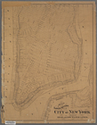
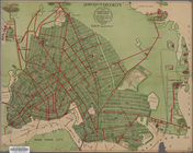
The lower part of New York Ci…
collection:
Maps
of New York City and State
Freight terminal
map
of the Port of New
Map
of New York City
Map
of part of Jersey City, on Hudson
note:
Mapping
the Nation (NEH grant, 2015-2018)…
m
New
map
of the borough of Manhattan, City
Survey of the Battery
note:
Mapping
the Nation (NEH grant, 2015-2018)…
Map
of New York City
Manhattan borough and part of…
note:
Map
on verso:
Map
of the City of New York ;
Map
Map
of the city of New York made under
Map
of West Street from Battery Park
m
Map
of New York City south of 132d St.
m
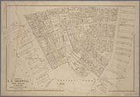
Authentic street plan of grea…
collection:
Maps
of New York City and State
New York City south of 93rd S…
collection:
Maps
of New York City and State
Handy
map
of Brooklyn showing lines
abstract:
Railroad
map
of former city of Brooklyn
Bush Terminal,
map
showing business section
m
Map
of the City of Brooklyn as consolidated
note:
constructed from the official
maps
m
Map
of the City of New York
abstract:
…; Includes inset
maps
Map
of the City of New York / City
Map
of the City of New York / City
Map
of New York City
note:
Includes inset
map
of Hunts Point.
Rand, McNally & Co.'s
map
of New York
note:
Inset:
Map
of the lower part of New York
m
Center of New York, first cit…
collection:
Maps
of New York City and State
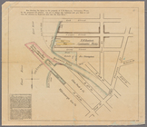
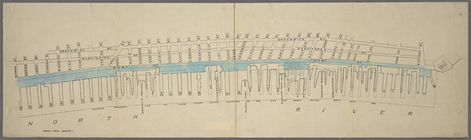
Modification in the pierhead…
collection:
Maps
of New York City and State
The Home Life Publishing Co.,…
collection:
Maps
of New York City and State
Map
of New York City …
Map
of the City of New York
Map
of New York City
note:
Fisk & Russel Relief
Map
& Line