Click to visit the main New York Public Library Homepage
The New York Public Library
Digital Collections
About Digital Collections
Browse
Search only public domain materials
Items
Collections
Divisions
Home
Search
Browse
About
Search only public domain materials
Items
Collections
Divisions
Digital Collections
Using Images
Using Data
Search
Filtered keyword search
Show filters
Hide filters
Show Only Public Domain
topic
Real property
1490
Fire insurance
220
Cities & towns
185
Administrative and political divisions
137
Railroads
101
More
Less
name
Ullitz, Hugo
702
E.B. Hyde & Co
673
E. Belcher Hyde Map Company
458
Beers, F. W. (Frederick W.)
199
Sanborn Map Company
185
More
Less
collection
Atlases of New York City
1567
Atlases of the United States
922
Maps of North America
364
Maps of New York City and State
211
I. N. Phelps Stokes Collection of American Historical Prints
69
More
Less
place
New York (State)
1713
New York
836
Brooklyn (New York, N.Y.)
554
New York (N.Y.)
431
Maps
409
More
Less
genre
Maps
3333
Atlases
923
Prints
137
Illustrations
78
Cadastral maps
60
More
Less
publisher
E. Belcher Hyde
774
Sanborn Map Company
242
F. W. Beers & Co
148
E.B. Hyde & Co
116
E. Belcher-Hyde
112
More
Less
division
Map Division
3147
Wallach Division: Print Collection
74
Schomburg Manuscripts, Archives and Rare Books Division
54
Schomburg Jean Blackwell Hutson Research and Reference Division
49
General Research Division
46
More
Less
type
x
cartographic
text
53
still image
46
Date Range
to
3,425 results found for:
x
B
Filtering on:
x
Type
: cartographic
Sort by:
Relevance
Title
Date created
Date digitized
Sequence
Results 1751 - 1800
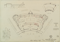
Part of Westfield
Part of Westfield
parent:
9cda73
b
0-c5f7-012f-4f72-58d385a7bc34
Lot Renting Plan, Section I
parent:
4016
b
450-c532-012f-507d-58d385a7bc34
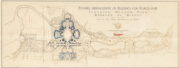
Possible arrangement of build…
parent:
4016
b
450-c532-012f-507d-58d385a7bc34
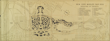
Grouping of Exhibits
parent:
4016
b
450-c532-012f-507d-58d385a7bc34
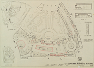
Renting Plan. Consumer Intere…
parent:
4016
b
450-c532-012f-507d-58d385a7bc34
Renting Plan. Shelter Buildin…
parent:
4016
b
450-c532-012f-507d-58d385a7bc34
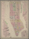
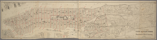
Colton's New York City, Brook…
parent:
c4381
b
50-35f9-013
b
-ca51-0242ac110002
Map of California : to accomp…
parent:
4d26c770-0541-0136-1
b
17-00dd2d4e89fb
Railroad map of Michigan
parent:
c2e47e80-
b
143-0132-9cdd-58d385a7bbd0
m
Colton's new map of the city …
parent:
9157f1e0-f092-0130-f834-58d385a7
b
928
Map of the battle field of Ge…
parent:
00823d80-e14e-0132-
b
971-58d385a7bbd0
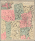
Colton's new township map of …
parent:
0
b
71bbc0-f2e0-0134-38a2-6196a7ecd914
Plan of Sullivan County, New …
parent:
5ee48f80-c5aa-012f-0
b
70-58d385a7bc34
Colton's excursion map of Nor…
parent:
8
b
038ba0-bb07-0134-5590-00505686a51c
m
Colton's new map of the city …
parent:
9161
b
0d0-f092-0130-6ab5-58d385a7
b
928
Map showing the Southern Mary…
parent:
598adba0-31
b
2-0135-
b
410-0ded2328da59
Coltons map of the New York w…
parent:
5919
b
120-7f28-0133-95d5-00505686d14e
Colton's Map of the New York …
first:
b
879cdb0-a28a-0133-a1dc-00505686d14e
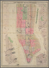
Colton's map of the city of N…
parent:
923f29e0-f092-0130-a231-58d385a7
b
928
Colton's map of the New York …
note:
… in the year 1881 by G.W. & C.
B
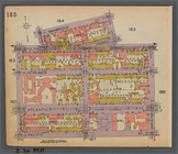
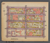
Map bounded by Bainbridge St.…
parent:
db145e00-
b
2d2-0131-2502-58d385a7
b
928
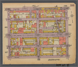
Map bounded by Fulton St., Ro…
parent:
e18e9350-
b
2d2-0131-e272-58d385a7
b
928
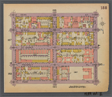
Map bounded by Pacific St., S…
parent:
e6838290-
b
2d2-0131-83c9-58d385a7
b
928
Map bounded by Dean St., Roch…
parent:
ebf69170-
b
2d2-0131-e92d-58d385a7
b
928
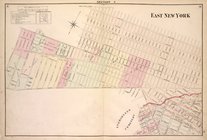
Brooklyn, Double Page Section…
parent:
cd135750-c5fa-012f-8d3
b
-58d385a7bc34
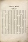
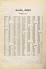
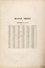
Block Index, [Front]
parent:
b
8cbe610-c5f8-012f-4231-58d385a7bc34
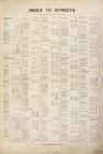
Index to Streets, [Front]
parent:
b
9286f30-c5f8-012f-d373-58d385a7bc34
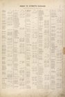
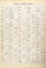
Index to Streets - Continued,…
parent:
b
971dd70-c5f8-012f-501
b
-58d385a7bc34
Block Index. [Front]
parent:
a584bc60-c5f8-012f-a5
b
7-58d385a7bc34
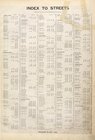
Index to Streets. [Front]
first:
6c05633e-3bdb-
b
9cf-e040-e00a18063bc7
Index to Streets - continued.…
first:
6c05633e-3bdc-
b
9cf-e040-e00a18063bc7
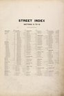
Street Index [Front]
Block Index [Front]
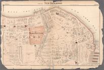
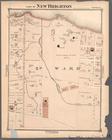
Part of New Brighton
parent:
92fcd560-c5f7-012f-
b
8da-58d385a7bc34
m
Part of New Brighton : Town o…
parent:
9353a850-c5f7-012f-7
b
74-58d385a7bc34
m
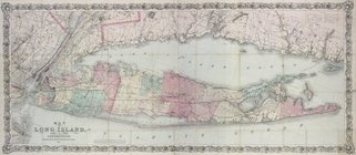
Map of Long Island and the so…
m
Beers' new map of Staten Isla…
first:
63204627-170c-1c0
b
-e040-e00a18061f21
m
Map of Kings County, includin…
District of Columbia
parent:
cdef06
b
0-efda-0134-e441-63
b
5ad626529
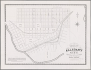
Plan of Allegany City in Catt…
Map of the Harlem River and S…
parent:
a00f69d0-3
b
82-013
b
-22c8-0242ac110004
m
Map of Staten Island, Richmon…
parent:
ba70bc60-1d48-0131-ff9
b
-58d385a7bbd0
Map of the New York wildernes…
note:
… in the year 1875 by G.W. & C.
B
Map of Staten Island, Richmon…
first:
5
b
8c0520-1d60-0131-f048-58d385a7
b
928
Map of the Sea Coast of Monmo…
parent:
b
17aef70-d5c7-0134-7a3f-00505686d14e
m
Colton's railroad & commercia…
parent:
c9a0e270-
b
87f-0133-e6d6-00505686a51c
Outline Plan & Index to State…
first:
510d47e2-0
b
94-a3d9-e040-e00a18064a99
Res. of G.
B
. Hunt, Esq., Town of Clarence
parent:
b
9f288e0-c5f7-012f-1023-58d385a7bc34
Map of the borough of Brookly…
first:
9ce3cf1
b
-962a-2480-e040-e00a180630
b
3
1
2
…
5
6
7
8
9
10
11
12
13
14
Previous
Next
1
2
…
5
6
7
8
9
10
11
12
13
14
Previous
Next