Click to visit the main New York Public Library Homepage
The New York Public Library
Digital Collections
About Digital Collections
Browse
Search only public domain materials
Items
Collections
Divisions
Home
Search
Browse
About
Search only public domain materials
Items
Collections
Divisions
Digital Collections
Using Images
Using Data
Search
Filtered keyword search
Show filters
Hide filters
Show Only Public Domain
topic
Real property
10812
Fire insurance
5289
Cities & towns
5001
Administrative and political divisions
906
Railroads
784
More
Less
name
Sanborn Map Company
5093
G.W. Bromley & Co
2471
Bromley, George Washington
797
Bromley, Walter Scott
797
Austro-Hungarian Monarchy. Militärgeographisches Institut
773
More
Less
collection
Atlases of New York City
10577
Atlases of the United States
3749
Maps of North America
3345
Maps of New York City and State
2046
Lawrence H. Slaughter Collection of English maps, charts, globes, books and atlases
1101
More
Less
place
New York (State)
12155
New York
3979
New York (N.Y.)
2427
Manhattan (New York, N.Y.)
2373
Brooklyn (New York, N.Y.)
1166
More
Less
genre
Maps
24593
Atlases
3680
Topographic maps
1062
Surveys
1032
land surveys
849
More
Less
publisher
Sanborn Map Company
5129
G.W. Bromley & Co
2294
E. Belcher Hyde
780
K.u.K. Militargeographisches Institut
773
publisher not identified
452
More
Less
division
Map Division
22270
Manuscripts and Archives Division
1082
General Research Division
510
Rare Book Division
337
Schomburg Jean Blackwell Hutson Research and Reference Division
195
More
Less
type
x
cartographic
text
656
still image
329
three dimensional object
12
Date Range
to
Looking for one of these collections?
Atlases of New York City
11,722 items
Atlases of the United States
3,868 items
Maps of North America
3,345 items
Maps of New York City and State
2,059 items
Lawrence H. Slaughter Collection of English maps, charts, globes, books and atlases
1,252 items
Bancker plans
1,080 items
24,955 results found for:
x
New York Public Library
Filtering on:
x
Type
: cartographic
Sort by:
Relevance
Title
Date created
Date digitized
Sequence
A description of the Towne of Mannados or
New
use:
… partner (e.g.,
New
York
m
Map of the village of Jamaica…
use:
… partner (e.g.,
New
York
m
Prospect Park, plaza lots
use:
… partner (e.g.,
New
York
m
… Court of
New
York
use:
… partner (e.g.,
New
York
m
New
York
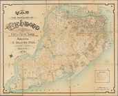
City and Vicinity.
use:
… partner (e.g.,
New
York
New
York
City and Vicinity.
use:
… partner (e.g.,
New
York
m
New
York
City and Vicinity.
use:
… partner (e.g.,
New
York
m
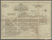
1900 census enumeration distr…
use:
… partner (e.g.,
New
York
Map showing
public
parks in the Borough
use:
… partner (e.g.,
New
York
Map of
New
York
and vicinity
use:
… partner (e.g.,
New
York
m
Guide to greater
New
York
use:
… partner (e.g.,
New
York
m
Aerial survey, Manhattan Island,
New
York
use:
… partner (e.g.,
New
York
Enumeration districts
use:
… partner (e.g.,
New
York
m
Williamsbridge Farm.
use:
… partner (e.g.,
New
York
Map of the homestead of the l…
use:
… partner (e.g.,
New
York
Sectional map of
New
York
, Brooklyn
use:
… partner (e.g.,
New
York
Sketch of the
public
surveys in Iowa
use:
… partner (e.g.,
New
York
[Map of] Friends' in the vicinity of
New
York
.
use:
… partner (e.g.,
New
York
Map of Woodlawn Cemetery.
use:
… partner (e.g.,
New
York
Map of Woodlawn Cemetery.
use:
… partner (e.g.,
New
York
Map of Richmond Borough
use:
… partner (e.g.,
New
York
Richmond Borough Congressiona…
use:
… partner (e.g.,
New
York
m
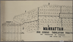
Manhattan, 1910 census tabula…
use:
… partner (e.g.,
New
York
m
Rand McNally map of the borou…
use:
… partner (e.g.,
New
York
Riverside Drive Extension (Ex…
use:
… partner (e.g.,
New
York
Riverside Drive Extension (Ex…
use:
… partner (e.g.,
New
York
Map of the Woodlawn Cemetery.
use:
… partner (e.g.,
New
York
Map of the Woodlawn Cemetery.
use:
… partner (e.g.,
New
York
m
Estate of Lorillard Spencer.
use:
… partner (e.g.,
New
York
Map of the Woodlawn Cemetery.
use:
… partner (e.g.,
New
York
Fishing map of City Island wa…
use:
… partner (e.g.,
New
York
South Jamaica Place, Fourth W…
use:
… partner (e.g.,
New
York
Johnson's Map of NYC.
use:
… partner (e.g.,
New
York
… of the the
New
Brighton Co.
use:
… partner (e.g.,
New
York
… of references to
public
use:
… partner (e.g.,
New
York
m
Map of
New
York
City from Battery
use:
… partner (e.g.,
New
York
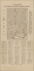
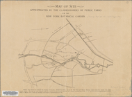
… by the Commissioners of
Public
Parks for the
New
York
Botanical
use:
… partner (e.g.,
New
York
New
York
City Free
Public
Educational
use:
… partner (e.g.,
New
York
…'s guide to the city of
New
York
."…
use:
… partner (e.g.,
New
York
Map of the Borough of Richmond, City of
New
York
use:
… partner (e.g.,
New
York
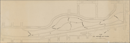
Map of Saint Nicholas Park,
New
York
use:
… partner (e.g.,
New
York
New
York
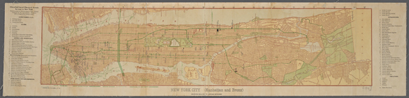
City (Manhattan and Bronx
use:
… partner (e.g.,
New
York
m
Map of the Bronx,
New
York
City.
use:
… partner (e.g.,
New
York
… of the Borough of Queens,
New
York
City.
use:
… partner (e.g.,
New
York
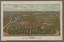
Panorama of the
New
York
Zoological Park.
use:
… partner (e.g.,
New
York
m
New
York
City, Congressional Districts
use:
… partner (e.g.,
New
York
… of Queens,
New
York
City.
use:
… partner (e.g.,
New
York
Map of the Borough of Queens, City of
New
York
.
use:
… partner (e.g.,
New
York
Map of
New
York
City south of 118th
use:
… partner (e.g.,
New
York
Plan of streets etc. on the L…
use:
… partner (e.g.,
New
York
1
2
3
4
5
6
7
8
9
10
…
99
100
Previous
Next
1
2
3
4
5
6
7
8
9
10
…
99
100
Previous
Next