Click to visit the main New York Public Library Homepage
The New York Public Library
Digital Collections
About Digital Collections
Browse
Search only public domain materials
Items
Collections
Divisions
Home
Search
Browse
About
Search only public domain materials
Items
Collections
Divisions
Digital Collections
Using Images
Using Data
Collections
Atlases of the United States
Atlases of the United States
Navigation
About
Filters
Atlases of the United States
Previous
United States
42
Indiana
1
Kentucky
2
Maryland
1
New Jersey
910
New York
2887
Wisconsin
23
Michigan
2
More
Collection Data
Description
The Map Division's collection of historical atlases of the United States, showing states, counties, and cities. Includes fire insurance, cadastral, geological, and pictorial maps, dating largely from the 19th and early 20th centuries.
Library locations
Lionel Pincus and Princess Firyal Map Division
Topics
United States
Genres
Atlases
Maps
Type of Resource
Cartographic
Identifiers
Universal Unique Identifier (UUID): 2600a3f0-c5ec-012f-424e-58d385a7bc34
Show filters
Hide filters
Show Only Public Domain
topic
Real property
1859
Business enterprises
467
Description and travel
157
History
90
Fire insurance
86
More
Less
name
Beers, F. W. (Frederick W.)
435
G.M. Hopkins & Co
286
Everts, Ensign & Everts
231
Hyde, E. Belcher
175
Beers, D. G. (Daniel G.)
172
More
Less
collection
x
Atlases of the United States
place
New York (State)
2037
New Jersey
328
Erie County (N.Y.)
197
Suffolk County (N.Y.)
181
Jersey City (N.J.)
178
More
Less
genre
Atlases
3784
Maps
3681
Plans
84
Prints
71
Surveys
44
More
Less
publisher
A.H. Mueller
162
F. W. Beers & Co
148
G.M. Hopkins
127
E. Belcher Hyde
118
E. Belcher-Hyde
112
More
Less
division
Map Division
3839
Milstein Division
29
type
cartographic
3749
text
140
still image
8
Date Range
to
3,868 results found
Sort by:
Title
Date created
Date digitized
Sequence
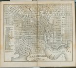
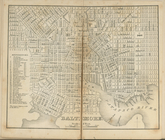
Baltimore.
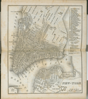
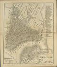
New-York.
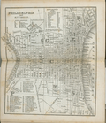
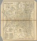
Philadelphia and environs.
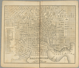
Baltimore.
New-York.
Philadelphia and environs.
Baltimore.
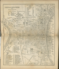
Philadelphia and environs.
New-York.
The cerographic atlas of the …
verso title page
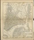
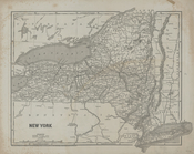
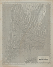
New York
City of New York, 1843.
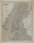
New York and vicinity.
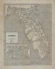
Florida.
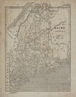
Maine.
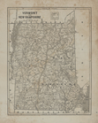
Vermont and New Hampshire.
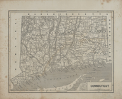
Connecticut.
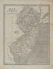
New Jersey.
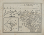
Maryland and Delaware.
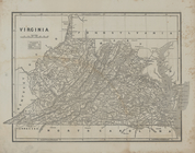
Virginia
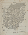
Ohio.
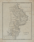
Iowa.
Map of the Indian Territory, …
Central America and Yucatan (…
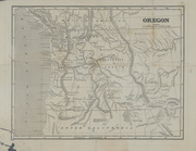
Oregon.
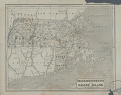
Massachusetts and Rhode Islan…
m
Tour book
m
Tour book
m
Scarborough's official tour b…
m
Strip maps of the "Dixie trai…
m
Strip maps of the "Trail to s…
m
The old National road: most h…
m
Splitdorf route book: maps an…
m
The ideal tour: [New England]
m
Locke's good road maps of loc…
m
Automobile local tours: Locke…
m
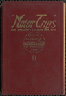
Motor trips
m
White route book, Number 3
m
White route book, Number 5
m
White route book, Number 7
m
U.S. tour book: [a reproducti…
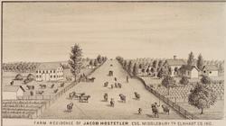
Farm residence of Jacob Hoste…
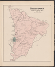
Bardstown, Precinct No.1, Nel…
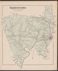
Bardstown, Precinct No. 9, Ne…
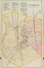
Salisbury, Wicomico Co.
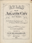
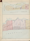
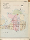
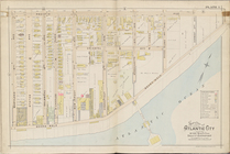
Atlas of Atlantic City, New J…
Index
Index continued
Atlantic City, Double Page Pl…
1
2
3
4
5
6
7
8
9
10
…
15
16
Previous
Next
1
2
3
4
5
6
7
8
9
10
…
15
16
Previous
Next