Click to visit the main New York Public Library Homepage
The New York Public Library
Digital Collections
About Digital Collections
Browse
Search only public domain materials
Items
Collections
Divisions
Home
Search
Browse
About
Search only public domain materials
Items
Collections
Divisions
Digital Collections
Using Images
Using Data
Collections
Charting America: Maps from the Lawrence H. Slaughter Collection and Others
Charting America: Maps from the Lawrence H. Slaughter Collection and Others
Navigation
Filters
Charting America: Maps from the Lawrence H. Slaughter Collection and Others
Previous
The south part of Virginia, now the north part of Carolina
0
Atlases, gazetteers, guidebooks and other books
377
Maps of the World
16
Maps of the Oceans
24
Maps of North and South America
23
Maps of North America.
551
Maps of New York City and State
1340
Lawrence H. Slaughter Collection of English maps, charts, globes, books and atlases
1020
John H. Levine Collection
60
More
Show filters
Hide filters
Show Only Public Domain
topic
Geography
514
Atlases
185
Atlases, British
144
History
141
Maps in education
104
More
Less
name
Thornton, Samuel
182
Ortelius, Abraham, 1527-1598
127
Coignet, Michel, 1549-1623
126
Shawe, James
126
Montanus, Arnoldus, 1625?-1683
117
More
Less
collection
Lawrence H. Slaughter Collection of English maps, charts, globes, books and atlases
1252
Atlases, gazetteers, guidebooks and other books
543
Maps of New York City and State
1
place
Great Britain
257
America
179
United States
146
West Indies, British
116
North America
114
More
Less
genre
Maps
1678
Nautical charts
175
Registers (Lists)
26
preliminaries
24
Title pages
17
More
Less
publisher
Printed for Ieames Shawe, and are to be solde at his shoppe nigh Ludgate,
126
Printed by the author, and are to be had at his house
116
Chapman and Hall
115
S. A. Mitchell, jr
79
Printed for Robert Sayer, No. 53, Fleet-Street
76
More
Less
division
Map Division
1792
type
cartographic
1560
text
163
still image
134
Date Range
to
1,796 results found for:
Atlases
Sort by:
Relevance
Title
Date created
Date digitized
Sequence
Ethnological Chart of the Wor…
topic:
Atlases
The Earth
collection:
Atlases
, gazetteers, guidebooks and other books
Population
collection:
Atlases
, gazetteers, guidebooks and other books
Cram's unrivaled atlas of the…
collection:
Atlases
, gazetteers, guidebooks and other books
m
Johnson's Physical Map
collection:
Atlases
, gazetteers, guidebooks and other books
England & Wales
collection:
Atlases
, gazetteers, guidebooks and other books
Types of the races of man
collection:
Atlases
, gazetteers, guidebooks and other books
m
Chart of the world exhibiting…
collection:
Atlases
, gazetteers, guidebooks and other books
Zoological chart of the world…
collection:
Atlases
, gazetteers, guidebooks and other books
Ethnographic map of the world…
collection:
Atlases
, gazetteers, guidebooks and other books
Setback principle
collection:
Atlases
, gazetteers, guidebooks and other books
Map showing locations of Dela…
collection:
Atlases
, gazetteers, guidebooks and other books
Tableau figuratif du mouvemen…
collection:
Atlases
, gazetteers, guidebooks and other books
East India Islands
collection:
Atlases
, gazetteers, guidebooks and other books
Plano del terreno en que se h…
collection:
Atlases
, gazetteers, guidebooks and other books
Geographische Verbreitung der…
collection:
Atlases
, gazetteers, guidebooks and other books
Alexander von Humboldt's Syst…
collection:
Atlases
, gazetteers, guidebooks and other books
m
Johnson's West Indies, Plate …
collection:
Atlases
, gazetteers, guidebooks and other books
m
Johnson's Florida, Plate 43
collection:
Atlases
, gazetteers, guidebooks and other books
Plano topografico de la ciuda…
collection:
Atlases
, gazetteers, guidebooks and other books
La Pologne, Plate 19
collection:
Atlases
, gazetteers, guidebooks and other books
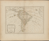
South America as divided amon…
topic:
Atlases
, British
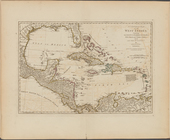
A compleat map of the West In…
topic:
Atlases
, British
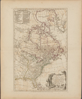
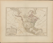
A new map of the United State…
topic:
Atlases
, British
North America, with the West …
topic:
Atlases
, British
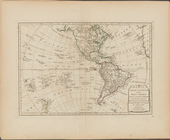
America North and South and t…
topic:
Atlases
, British
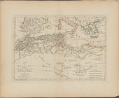
A map of Barbary, containing …
topic:
Atlases
, British
A map of Abyssinia and Nubia
topic:
Atlases
, British
Ancient and modern Egypt
topic:
Atlases
, British
Africa and its several regions
topic:
Atlases
, British
A map of the countries and pl…
topic:
Atlases
, British
Part IId. of the compleat map…
topic:
Atlases
, British
A compleat map of the Holy La…
topic:
Atlases
, British
A map of Chinese Tartary, wit…
topic:
Atlases
, British
China, divided into its great…
topic:
Atlases
, British
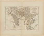
The East India Islands, compr…
topic:
Atlases
, British
A complete map of the East In…
topic:
Atlases
, British
A map of independent Tartary,…
topic:
Atlases
, British
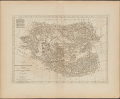
Persia, divided into its grea…
topic:
Atlases
, British
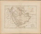
Arabia, according to its mode…
topic:
Atlases
, British
A map of Turkey in Asia, cont…
topic:
Atlases
, British
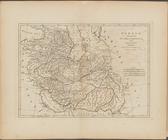
Asia, divided into its princi…
topic:
Atlases
, British
Second part of Turkey in Euro…
topic:
Atlases
, British
First part of Turkey in Europ…
topic:
Atlases
, British
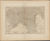
The North part of Italy ...
topic:
Atlases
, British
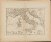
Italy, divided into its state…
topic:
Atlases
, British
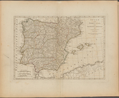
Spain and Portugal, with thei…
topic:
Atlases
, British
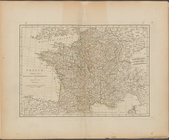
France, divided into military…
topic:
Atlases
, British
Switzerland divided into thir…
topic:
Atlases
, British
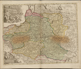
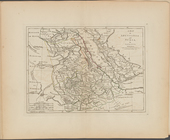
The Empire of Germany divided…
topic:
Atlases
, British
1
2
3
4
5
6
7
8
Previous
Next
1
2
3
4
5
6
7
8
Previous
Next