Click to visit the main New York Public Library Homepage
The New York Public Library
Digital Collections
About Digital Collections
Browse
Search only public domain materials
Items
Collections
Divisions
Home
Search
Browse
About
Search only public domain materials
Items
Collections
Divisions
Digital Collections
Using Images
Using Data
Collections
Charting America: Maps from the Lawrence H. Slaughter Collection and Others
Charting America: Maps from the Lawrence H. Slaughter Collection and Others
Navigation
Filters
Charting America: Maps from the Lawrence H. Slaughter Collection and Others
Previous
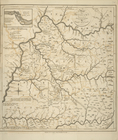
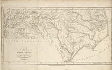
The south part of Virginia, now the north part of Carolina
0
Atlases, gazetteers, guidebooks and other books
377
Maps of the World
16
Maps of the Oceans
24
Maps of North and South America
23
Maps of North America.
551
Maps of New York City and State
1340
Lawrence H. Slaughter Collection of English maps, charts, globes, books and atlases
1020
John H. Levine Collection
60
More
Show filters
Hide filters
Show Only Public Domain
topic
Road maps
53
Geography
33
History
30
Nautical charts
22
Harbors
16
More
Less
name
Colles, Christopher, 1738-1816
54
Tiebout, Cornelius, 1777-1832
54
Mitchell, S. Augustus (Samuel Augustus), 1792-1868
28
Morse, Jedidiah, 1761-1826
27
Stockdale, John, 1749?-1814
27
More
Less
collection
Lawrence H. Slaughter Collection of English maps, charts, globes, books and atlases
177
Maps of New York City and State
106
Atlases, gazetteers, guidebooks and other books
36
John H. Levine Collection
8
Maps of North and South America
3
More
Less
place
United States
184
Middle Atlantic States
72
New York (State)
72
New York (N.Y.)
31
North America
20
More
Less
genre
Maps
307
Registers (Lists)
23
Nautical charts
10
Facsimiles
5
Bathymetric maps
4
More
Less
publisher
S. A. Mitchell, jr
28
Printed for J. Stockdale
26
M. Carey
17
Printed by H. Sweitzer, for M. Carey,
7
The Survey
6
More
Less
division
Map Division
330
Manuscripts and Archives Division
1
type
cartographic
304
text
27
still image
1
Date Range
to
332 results found for:
United States
Sort by:
Relevance
Title
Date created
Date digitized
Sequence
1889, Larchmont Harbor, N.Y.:…
collection:
Maps of New York City and
State
… : capital of the
United
States
of America : lat
… : capital of the
United
States
of America : lat
note:
…, and annals of the
United
States
, 1820.
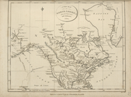
A general map of North Americ…
topic:
States
A Map of Carolana and of the …
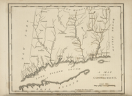
A map of Connecticut.
collection:
… of the
United
States
of America
A map of Kentucky, drawn from…
collection:
… of the
United
States
of America
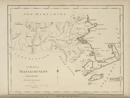
A map of Massachusets [sic] f…
collection:
… of the
United
States
of America
A map of New England, New Yor…
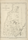
A map of New Hampshire.
collection:
… of the
United
States
of America
A map of New Jersey : from th…
collection:
… of the
United
States
of America
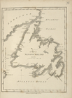
A map of Newfoundland.
collection:
… of the
United
States
of America
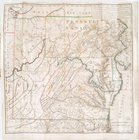
A map of North Carolina, from…
collection:
… of the
United
States
of America
A map of Pennsylvania, from t…
collection:
… of the
United
States
of America
A map of Rhode Island.
collection:
… of the
United
States
of America
A map of South America and th…
collection:
… of the
United
States
of America
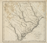
A map of South Carolina, from…
collection:
… of the
United
States
of America
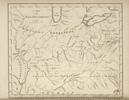
A map of the Back Settlements.
collection:
… of the
United
States
of America
A map of the confluence of th…
collection:
Maps of New York City and
State
… of the
United
States
of America
A map of the East and West Fl…
collection:
… of the
United
States
of America
A map of the northern and middle
states
collection:
… of the
United
States
of America
A map of the
State
of New York.
collection:
… of the
United
States
of America
A map of the
states
A map of the
states
collection:
… of the
United
States
of America
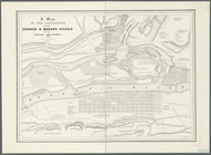
A map of the Tennessee Govern…
collection:
… of the
United
States
of America
A map of the
United
States
: compiled chiefly
A map of the
United
States
of North America
A map of the West Indies, fro…
collection:
… of the
United
States
of America
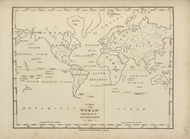
A map of the world, exhibitin…
collection:
… of the
United
States
of America
A map of Vermont.
collection:
… of the
United
States
of America
A new and accurate chart (fro…
collection:
…, president of the
United
States
of North America,…
…, president of the
United
States
of North America
A new and correct map of Nort…
A new and correct map of Nort…
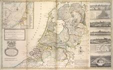
A new and exact map of the
United
Provinces
note:
… of
State
, ... dedicated ...
A new map of North America fr…
collection:
… of the
United
States
of America
… distinguished the
United
States
A new map of Nova Scotia, New…
collection:
… of the
United
States
of America
A new map of part of the
United
States
of North
topic:
Middle Atlantic
States
A new map of part of the
United
States
of North
topic:
Middle Atlantic
States
A new map of the
United
States
of America.
A new map of the
United
States
of North
A new map of Upper and Lower …
collection:
… of the
United
States
of America
A sketch of the operations of…
collection:
Maps of New York City and
State
A sketch of the siege of Fort…
collection:
Maps of New York City and
State
A topographical map of the no…
collection:
Maps of New York City and
State
Americae sive novi orbis, nov…
note:
Ermen, E. van.
United
States
in old maps
Asher & Adams' map of the bay…
collection:
Maps of New York City and
State
m
Asher & Adams' new topographical map of the
state
note:
… of the
United
States
1
2
Previous
Next
1
2
Previous
Next