Click to visit the main New York Public Library Homepage
The New York Public Library
Digital Collections
About Digital Collections
Browse
Search only public domain materials
Items
Collections
Divisions
Home
Search
Browse
About
Search only public domain materials
Items
Collections
Divisions
Digital Collections
Using Images
Using Data
Collections
Charting America: Maps from the Lawrence H. Slaughter Collection and Others
Charting America: Maps from the Lawrence H. Slaughter Collection and Others
Navigation
Filters
Charting America: Maps from the Lawrence H. Slaughter Collection and Others
Previous
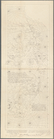
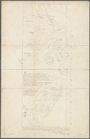
The south part of Virginia, now the north part of Carolina
0
Atlases, gazetteers, guidebooks and other books
377
Maps of the World
16
Maps of the Oceans
24
Maps of North and South America
23
Maps of North America.
551
Maps of New York City and State
1340
Lawrence H. Slaughter Collection of English maps, charts, globes, books and atlases
1020
John H. Levine Collection
60
More
Show filters
Hide filters
Show Only Public Domain
topic
x
Indians of North America
Indian trails
12
Discovery and exploration
3
Early works to 1800
2
Facsimiles
2
More
Less
name
A.R. Ohman Map Co
12
Bolton, Reginald Pelham, 1856-1942
12
Museum of the American Indian, Heye Foundation
12
Ohman, August R
12
Blaeu, Joan, 1596-1673
3
More
Less
collection
Maps of New York City and State
20
Maps of North and South America
3
Lawrence H. Slaughter Collection of English maps, charts, globes, books and atlases
2
place
New York (State)
17
New York (N.Y.)
13
New York
12
Bronx (New York, N.Y.)
4
Brooklyn (New York, N.Y.)
4
More
Less
genre
Maps
25
Early maps
4
Facsimiles
4
Early works to 1800
1
publisher
Museum of the American Indian, Heye Foundation
12
publisher not identified
7
Joan Blaeu
3
Harper & Brothers
1
Printed for the proprietor Carington Bowles No. 69 in St. Pauls Church Yard,
1
More
Less
division
Map Division
25
type
x
cartographic
text
2
Date Range
to
25 results found for:
x
North America
Filtering on:
x
Topic
: Indians of North America
x
Type
: cartographic
Sort by:
Relevance
Title
Date created
Date digitized
Sequence
m
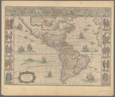
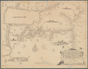
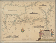
Americae
nova tabula
topic:
Indians of
North
America
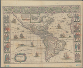
m
Americae
nova tabula
note:
Shows
North
and South
America
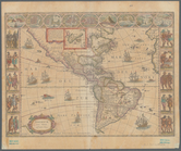
m
Americae
nova tabula
note:
Shows
North
and South
America
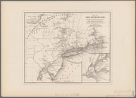
Map of New Netherland: accord…
topic:
Indians of
North
America
Map of New Netherland which w…
topic:
Indians of
North
America
Map of New Netherland
topic:
Indians of
North
America
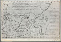
A mappe of Colonel Römers voy…
topic:
Indians of
North
America
A mappe of Colonel Römers voy…
topic:
Indians of
North
America
m
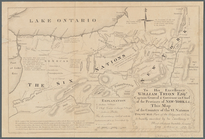
To his excellency William Try…
topic:
Indians of
North
America
A map of the countrey of the …
abstract:
… Lakes region of
North
America
, from the eastern
… independent states of
North
America
: viz. Virginia
note:
… in
America
, 2nd ed., 1920, p
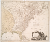
The United States of
North
America
note:
LC Maps of
North
America
, 1750-1789, 733
Map of the River Niagara and …
topic:
Indians of
North
America
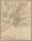
Greater New York and contigou…
topic:
Indians of
North
America
Werpoes, a village of the Man…
topic:
Indians of
North
America
Yorkville and East Harlem in …
topic:
Indians of
North
America
Upper Manhattan, comprising t…
topic:
Indians of
North
America
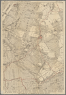
The northwesterly part of the…
topic:
Indians of
North
America
The district of Pelham Neck, …
topic:
Indians of
North
America
Southern part of the borough …
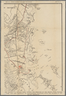
topic:
Indians of
North
America
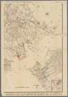
Southeastern part of the boro…
topic:
Indians of
North
America
…
north
as Central Park
topic:
Indians of
North
America
The Long Island City and Newt…
topic:
Indians of
North
America
The southwestern part of the …
topic:
Indians of
North
America
The southeastern part of the …
topic:
Indians of
North
America
End of results
|
Top