


- The Library Shop
- Privacy Policy
- Rules and Regulations
- Using the Internet
- Website Terms and Conditions
- Gifts of Materials to NYPL
-
© The New York Public Library, 2024
The New York Public Library is a 501(c)(3) | EIN 13-1887440
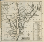
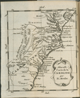
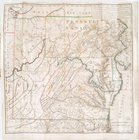
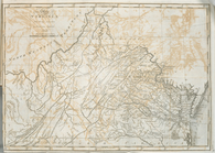
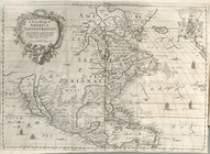
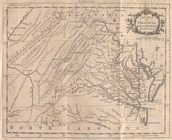
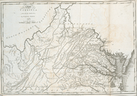
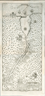
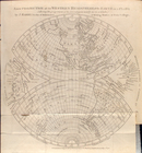
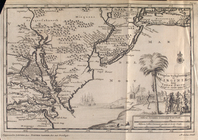
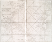
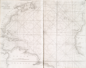
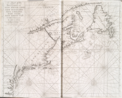
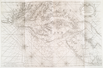
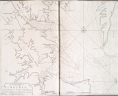
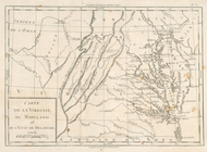
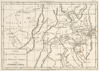
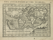
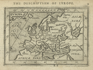
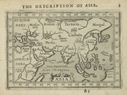
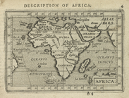
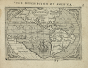
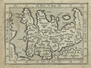
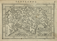
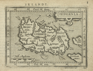
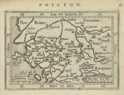
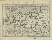
In 1997, on the death of Lawrence H. Slaughter, part of his magnificent private map collection came to NYPL from his estate, as a gift from his family. In 2001, the second half of the collection was given to the Map Division. His collection of maps focuses on the Middle Atlantic region, and formed the basis for the exhibition "In thy map securely saile."
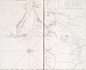
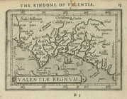
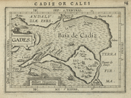
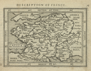
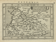
Another private collection came to NYPL in 1990 from the John H. Levine estate, comprised of a wonderful miscellany of antique maps for places around the world, from the Holy Lands to Bermuda, providing additional specimens for this digital presentation.
Established in 1898, from map and atlas collections in the Astor and Lenox libraries, which that year joined to form The New York Public Library, the Map Division now holds some 400,000+ maps, atlases and books about cartography. Support from the National Endowment for the Humanities in 2000-2002 enabled cataloging of the Slaughter gift and the related maps included in this presentation, some of which are described in more detail on the "American Shores: Maps of the Middle Atlantic Region to 1850" site below.
Campbell, Tony. “Map History / History of Cartography.” (c2004) <http://www.maphistory.info/index.html>
Library of Congress. “American Memory: Map Collections 1500-2004.” (2004) <http://memory.loc.gov/ammem/gmdhtml/gmdhome.html>
NYPL. “American Shores: Maps of the Middle Atlantic Region to 1850.” (c2002) <http://www.nypl.org/research/midatlantic/>
_____ . “’In thy map securely saile’: Maps, Atlases, Charts, and Globes from the Lawrence H. Slaughter Collection.” (1998) <http://www.nypl.org/research/chss/epo/mapexhib/index.html>