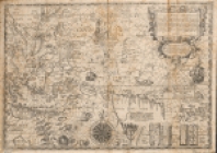
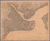
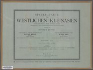
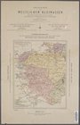
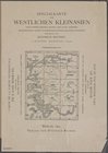
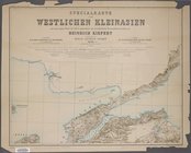
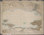
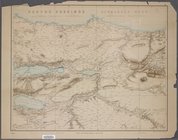
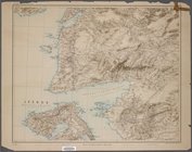
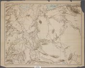
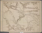
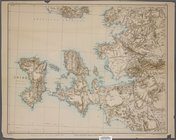
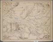
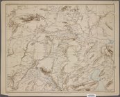
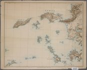
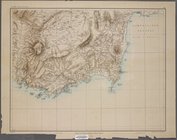
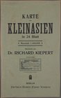
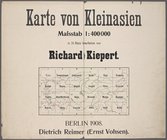
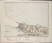
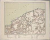
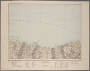
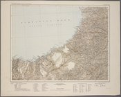
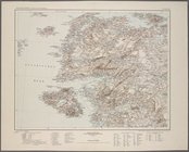
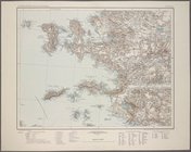
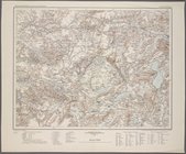
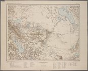
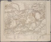
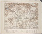
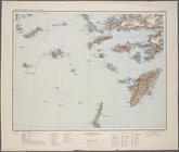
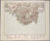
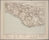
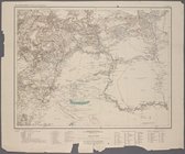
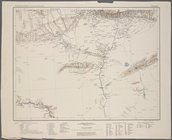
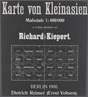
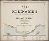
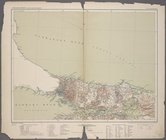
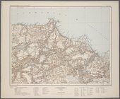
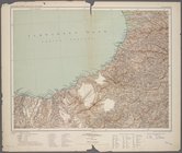
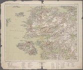
This collection of maps of Asia includes maps of regions, countries, and cities, showing basic topographical features and/or, in some cases, topical themes. Maps date from the 17th century through the present day. Sectional maps from contiguous-area map series, plates from atlases, bird's-eye views; and guides, indexes, and other texts that accompany maps or are part of atlases may also be found here. Maps depicting Asia may also be found in other collections, including the Lawrence H. Slaughter Collection. The maps in the Maps of Asia collection have varying provenance. Some come from the Astor and Lenox collections, which formed the foundation of NYPL's holdings; others were purchased by the Library or received as gifts from diverse sources over the years. Among the gifts are the maps from the Raymond Fink Collection of 1959 community surveys of provincial capitals and villages in Laos.