Click to visit the main New York Public Library Homepage
The New York Public Library
Digital Collections
About Digital Collections
Browse
Search only public domain materials
Items
Collections
Divisions
Home
Search
Browse
About
Search only public domain materials
Items
Collections
Divisions
Digital Collections
Using Images
Using Data
Search
Filtered search
Show filters
Hide filters
Show Only Public Domain
topic
Geography
55
Mathematics
54
Astronomy, 1681
52
Description and travel
34
Nautical charts
25
More
Less
name
Flamsteed, John, 1646-1719
52
Godbid, A
52
Hanway, William
52
Moore, Jonas, Sir, 1617-1679
52
Perkins, Peter, -1680
52
More
Less
collection
Lawrence H. Slaughter Collection of English maps, charts, globes, books and atlases
143
Atlases, gazetteers, guidebooks and other books
49
Maps of North America
30
I. N. Phelps Stokes Collection of American Historical Prints
25
Africa: being an accurate description of the regions of Ægypt, Barbary, Lybia, and Billedulgerid, the land of Negroes, Guinee, Æthiopia, and the Abyssines, with all the adjacent islands ... collected and translated from most authentick authors ... by John Ogilby ..
15
More
Less
place
Africa
39
America
34
North America
30
Maps
28
New England
20
More
Less
genre
Maps
316
Prints
65
Illustrations
30
Surveys
3
Books
2
More
Less
publisher
Printed by A. Godbid and J. Playford, for R. Scott, bookseller
52
P. Goos
41
Printed by the author, and are to be had at his house
20
Jacob von Meurs
14
Printed for Robert Morden and Thomas Cockeril, at the Atlas in Cornhill, and at the Three Legs in the Poultrey, over against the Stocks-Market
6
More
Less
division
Map Division
241
General Research Division
36
Wallach Division: Print Collection
27
Rare Book Division
19
Schomburg Manuscripts, Archives and Rare Books Division
9
More
Less
type
x
cartographic
still image
10
text
6
Date Range
to
339 results found
Filtering on:
x
Date
: 1650 - 1699
x
Type
: cartographic
Sort by:
Title
Date created
Date digitized
Sequence
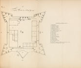
Plan of the Fort of New York
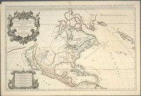
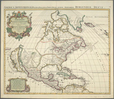
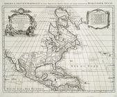
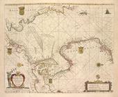
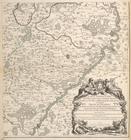
Amerique septentrionale divis…
Amerique septentrionale divis…
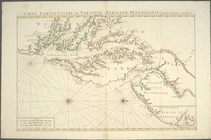
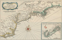
Carte particuliere de Virgini…
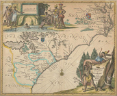
Virginiae partis australis, e…
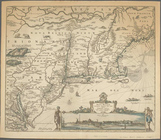
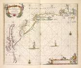
Novi Belgii Novaeque Angliae …
Virginia, Nieu Neder-landt, N…
Novissima et accuratissima to…
Amerique septentrionale divis…
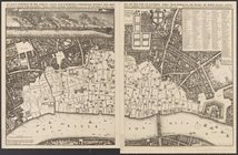
An exact survey of the street…
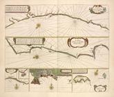
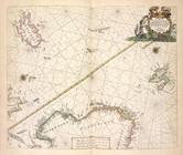
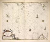
Pascaart van de Noort zee.
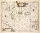
Pas-caart van de Oost zee.
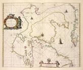
Pascaarte van de Zuyder-zee.
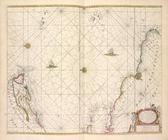
Pascaart van de Noord Zee, va…
Cust van Hollant tusschen de …
De Texel Stroom met de gaten …
De cust van Zeelandt, begrype…
Paskaert van de Zeeusche en V…
Pascaarte van Engelant, van't…
Pas-caart va Canaal vertoonen…
Het Canaal tusschen Engeland …
Paskaarte om achter Yrlandt o…
Paskaert van't in comen van't…
Paskaerte van de Bocht van Vr…
Pas-caart van Hispangien, ver…
Paskaerte van't westelijckste…
Paskaerte van't oostelijckste…
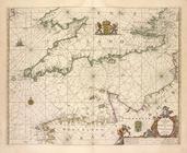
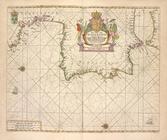
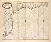
De cust van Barbaria, Gualata…
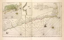
De cust van Barbaryen van out…
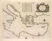
Caarte voor een gedeelte der …
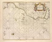
Pas-caart van Gvinea en de Cu…
Pas-kaarte van de Zuyd-west-k…
Pascaerte van westelijcke dee…
Paskaetrte zynde t'Oosterdeel…
Noordtoost cust van Asia, van…
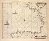
De zee custen van Ruslant, La…
De custen van Noorwegen, Finm…
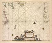
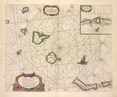
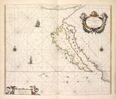
Pascaerte van Groen-landt,Ysl…
Paskaert zijde de Noordelicks…
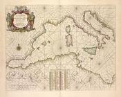
Pascaerte van Vlaemsche, Sout…
Pas caerte van Nieu Nederland…
Pascaerte van Westindien, de …
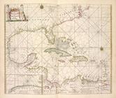
Pascaert van de Caribes Eylan…
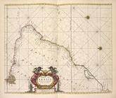
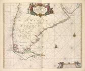
Paskaart van Brazil van Rio d…
Paskaarte van het zuydelijcks…
Pascaerte van Nova Hispania, …
Paskaerte van Nova Granada en…
Carte particulìere des pays q…
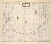
Pascaerte vande Zvyd-zee tuss…
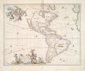
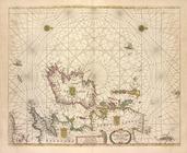
Nieuwe Werelt kaert
1
2
Previous
Next
1
2
Previous
Next