Click to visit the main New York Public Library Homepage
The New York Public Library
Digital Collections
About Digital Collections
Browse
Search only public domain materials
Items
Collections
Divisions
Home
Search
Browse
About
Search only public domain materials
Items
Collections
Divisions
Digital Collections
Using Images
Using Data
Search
Filtered search
Show filters
Hide filters
Show Only Public Domain
topic
History
143
Geography
125
Maps
77
Atlases, British
67
Mathematics
55
More
Less
name
Thornton, Samuel
173
Montanus, Arnoldus, 1625?-1683
117
Ogilby, John, 1600-1676
117
Moll, Herman, -1732
110
Green, John, fl. 1730-1753
56
More
Less
collection
Lawrence H. Slaughter Collection of English maps, charts, globes, books and atlases
511
Atlases, gazetteers, guidebooks and other books
258
Maps of North America
200
Bancker plans
197
A new general collection of voyages and travels: consisting of the most esteemed relations, which have been hitherto published in any language; comprehending everything remarkable in its kind, in Europe, Asia, Africa, and America
55
More
Less
place
America
178
North America
159
Maps
126
West Indies, British
115
New Jersey
68
More
Less
genre
x
Maps
Surveys
223
Nautical charts
176
land surveys
158
Prints
119
More
Less
publisher
Printed by the author, and are to be had at his house
117
Printed for T. Astley
55
Printed by A. Godbid and J. Playford, for R. Scott, bookseller
53
Printed for Timothy Childe at the White Hart at the West-end of St. Paul's Church-yard
44
s.n
43
More
Less
division
Map Division
1046
Manuscripts and Archives Division
206
Rare Book Division
107
Wallach Division: Print Collection
41
Schomburg Jean Blackwell Hutson Research and Reference Division
35
More
Less
type
cartographic
1370
still image
139
text
55
Date Range
to
1,482 results found
Filtering on:
x
Date
: 1669 - 1774
x
Genre
: Maps
Sort by:
Title
Date created
Date digitized
Sequence
m
H.M.S. Aeolus and H.M.S. Norw…
Nova Zembla, p. 101
Oud-Groenland, of deszelfs Oo…
The Jeannette ; Lost In the I…
m
Detroit du Magellan et de ses…
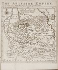
The Abissine Empire as it now…
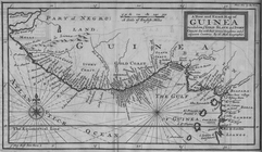
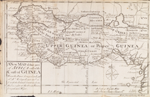
A New and Exact Map of Guinea…
Carte des Isles de L'Amerique…
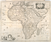
Africae Accurata Tabula ex Of…
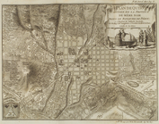
Plan goroda Sanktpeterburga, …
Det gamle Norge
Plan de Quito Capitale de la …
m
Plate from The tapestry hangi…
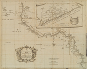
A new map of that part of Afr…
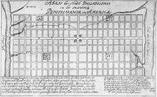
Abris der Stadt Philadelphia …
Plan du port, ville, citadell…
A new and correct map of the …
Terra firma et novum regnum G…
The dwelling houses of the Ta…
Plan de la ville Tartare de P…
Nouvelle carte de la Crimée &…
Pennsylvania and Maryland map
A map of the icy sea in which…
New York province. Map of the…
Pologne, vol. 4, fig. 37, p. …
m
Four lots near North Church
Pologne, vol. 4, fig. 36, p. …
Pas-kaart vande Rivieren Comm…
Nieuwe kaart van Suriname : v…
m
Bloomingdale Road
m
Lot on Bloomingdale Road
m
Anthony Street
Amerique Septentrionale
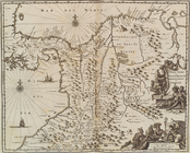
A new and accurat map of the …
Pologne, vol. 4, fig. 39, p. …
m
Isaac DePeyster's lot in Bowe…
m
Captain De Lancey - lot let t…
m
Land cleared near Mr. Apthorp…
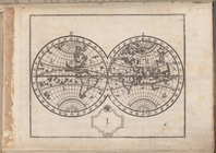
Atlas des enfans..., I
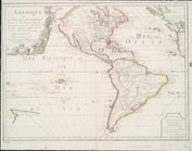
L'Amerique, ou, Le nouveau co…
Amerique Septentrionale
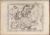
Atlas des enfans..., II
m
Battery
America Septentrionalis.
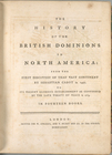
The history of the British do…
A map of the British dominion…
m
Fresh Water
m
Delancey's old house at Fresh…
m
Captain Delancey's sixteen ac…
m
Sketch of Fresh Water
1
2
3
4
5
6
Previous
Next
1
2
3
4
5
6
Previous
Next