


- The Library Shop
- Privacy Policy
- Rules and Regulations
- Using the Internet
- Website Terms and Conditions
- Gifts of Materials to NYPL
-
© The New York Public Library, 2024
The New York Public Library is a 501(c)(3) | EIN 13-1887440

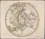
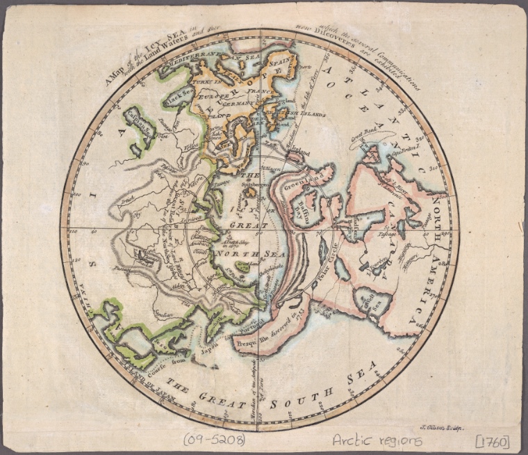
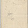
Lionel Pincus and Princess Firyal Map Division, The New York Public Library. "A map of the icy sea in which the several communications with the land waters and other new discoveries are exhibited" The New York Public Library Digital Collections. 1760. https://digitalcollections.nypl.org/items/b40ecf3e-131c-133e-e040-e00a18063af7
Lionel Pincus and Princess Firyal Map Division, The New York Public Library. "A map of the icy sea in which the several communications with the land waters and other new discoveries are exhibited" New York Public Library Digital Collections. Accessed April 27, 2024. https://digitalcollections.nypl.org/items/b40ecf3e-131c-133e-e040-e00a18063af7
Lionel Pincus and Princess Firyal Map Division, The New York Public Library. (1760). A map of the icy sea in which the several communications with the land waters and other new discoveries are exhibited Retrieved from https://digitalcollections.nypl.org/items/b40ecf3e-131c-133e-e040-e00a18063af7
<ref name=NYPL>{{cite web | url=https://digitalcollections.nypl.org/items/b40ecf3e-131c-133e-e040-e00a18063af7 | title=
(cartographic)
A map of the icy sea in which the several communications with the land waters and other new discoveries are exhibited, (1760)
|author=Digital Collections, The New York Public Library |accessdate=April 27, 2024 |publisher=The New York Public Library, Astor, Lenox, and Tilden Foundations}}</ref>