Click to visit the main New York Public Library Homepage
The New York Public Library
Digital Collections
About Digital Collections
Browse
Search only public domain materials
Items
Collections
Divisions
Home
Search
Browse
About
Search only public domain materials
Items
Collections
Divisions
Digital Collections
Using Images
Using Data
Search
Filtered search
Show filters
Hide filters
Show Only Public Domain
topic
Maps
42
Landowners
23
Geography
22
Real property
22
Nautical charts
19
More
Less
name
Green, John, fl. 1730-1753
51
Astley, Thomas, -1839
48
Homann, Johann Baptist, 1663-1724
27
Dilthey, Philipp Heinrich, 1723-1781
22
Anville, Jean Baptiste Bourguignon d', 1697-1782
19
More
Less
collection
Maps of North America
115
Lawrence H. Slaughter Collection of English maps, charts, globes, books and atlases
59
A new general collection of voyages and travels: consisting of the most esteemed relations, which have been hitherto published in any language; comprehending everything remarkable in its kind, in Europe, Asia, Africa, and America
50
Atlases, gazetteers, guidebooks and other books
25
Bancker plans
25
More
Less
place
North America
71
New Jersey
34
Maps
29
Early works to 1800
28
America
23
More
Less
genre
Maps
373
Prints
63
Surveys
44
Manuscript maps
23
land surveys
16
More
Less
publisher
Printed for T. Astley
50
Imprimé à l'Université Imperiale de Moscou
22
s.n
14
s.n.,
12
publisher not identified
7
More
Less
division
Map Division
231
Rare Book Division
81
Manuscripts and Archives Division
31
Schomburg Jean Blackwell Hutson Research and Reference Division
12
Wallach Division: Print Collection
9
More
Less
type
x
cartographic
still image
15
text
14
Date Range
to
373 results found
Filtering on:
x
Date
: 1740 - 1769
x
Type
: cartographic
Sort by:
Title
Date created
Date digitized
Sequence
Oud-Groenland, of deszelfs Oo…
A map of Carolina, Florida an…
Nieuwe kaart van Suriname : v…
Representation la plus nouvel…
m
H.M.S. Aeolus and H.M.S. Norw…
Pennsylvania and Maryland map
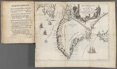
A map of the icy sea in which…
A new and correct map of the …
Plan de Quito Capitale de la …
Plan de la ville Tartare de P…
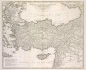
Orbis romani pars orientalis
Tabula Italiæ antiquæ geograp…
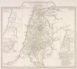
La Palestine
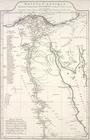
Ægyptus antiqua : Mandato ser…
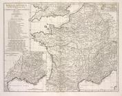
Gallia antiqua
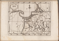
Atlas des enfans..., XVI
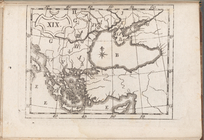
Atlas des enfans..., XIX
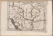
Atlas des enfans..., XVIII
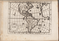
Atlas des enfans..., XXII
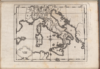
Atlas des enfans..., VIII
Atlas des enfans..., XI
Atlas des enfans..., XV
Atlas des enfans..., XIII
Atlas des enfans..., XVII
Atlas des enfans..., V
Atlas des enfans..., IV
Atlas des enfans..., II
Atlas des enfans..., X
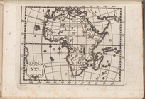
Atlas des enfans..., XXI
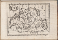
Atlas des enfans..., VII
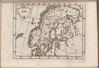
Atlas des enfans..., XIV
Atlas des enfans..., I
Atlas des enfans..., III
Atlas des enfans..., VI
Atlas des enfans..., IX
Atlas des enfans..., XII
Atlas des enfans..., XX
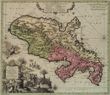
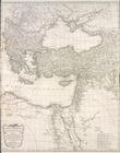
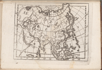
Asiæ, quæ vulgo Minor dicitur…
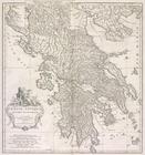
Græciæ antiquæ : specimen geo…
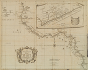
A general chart of all the co…
A Plan of the Straits of St. …
Parts of Ohio & Pennsylvania …
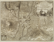
A new plan of ye great town o…
A draught of Port Royal Harbo…
Carte reduite des costes de l…
A draught of West Florida : f…
m
Land cleared near Mr. Apthorp…
Plan of the bay and island of…
m
Church and Rutgers
m
Tract divided for Peter Remsen
1
2
Previous
Next
1
2
Previous
Next