Click to visit the main New York Public Library Homepage
The New York Public Library
Digital Collections
About Digital Collections
Browse
Search only public domain materials
Items
Collections
Divisions
Home
Search
Browse
About
Search only public domain materials
Items
Collections
Divisions
Digital Collections
Using Images
Using Data
Search
Filtered search
Show filters
Hide filters
Show Only Public Domain
topic
x
History
Long Island, Battle of, New York, N.Y., 1776
11
Description and travel
10
Thailand
10
Maps
7
More
Less
name
Faden, William, 1749-1836
14
Kaempfer, Engelbert, 1651-1716
10
Scheuchzer, John Gaspar, 1702-1729
10
American Revolution (1775-1783)
5
Robert Sayer and John Bennett (Firm)
4
More
Less
collection
Maps of North America
19
Maps of New York City and State
17
The history of Japan, giving an account of the ancient and present state and government of that empire [...] Together with a description of the kingdom of Siam: giving an account of the ancient and present state and government of that empire; of its temples, palaces, castles, and other buildings; of its metals, minerals, trees, plants, animals, birds and fishes; of the chronology and succession of the emperors ... of the original descent, religions, customs, and manufactures of the natives, and of their trade and commerce with the Dutch and Chinese. Together with a description of the kingdom of Siam
10
Lawrence H. Slaughter Collection of English maps, charts, globes, books and atlases
9
I. N. Phelps Stokes Collection of American Historical Prints
8
More
Less
place
United States
18
New York (N.Y.)
17
New Jersey
14
New York (State)
14
Japan
10
More
Less
genre
Maps
64
Illustrations
10
Prints
8
Manuscript maps
4
Early works to 1800
2
More
Less
publisher
The translator
10
publisher not identified
7
Printed by James Parker, and a few Copies are to be Sold by him, and Benjamin Franklin, in Philadelphia;
3
Wm. Faden
3
s.n
3
More
Less
division
Map Division
48
General Research Division
11
Wallach Division: Print Collection
9
Manuscripts and Archives Division
1
Rare Book Division
1
type
x
cartographic
text
5
still image
2
Date Range
to
70 results found
Filtering on:
x
Date
: 1740 - 1779
x
Topic
: History
x
Type
: cartographic
Sort by:
Title
Date created
Date digitized
Sequence
Pennsylvania and Maryland map
Pennsylvania - Paoli, Chester…
Det gamle Norge
Grundriss des nördlichen Thei…
Plan von den Operationen der …
Parts of Ohio & Pennsylvania …
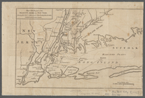
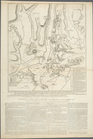
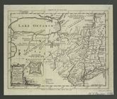
A plan of New York Island, pa…
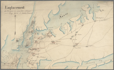
Emplacement des troupes en qu…
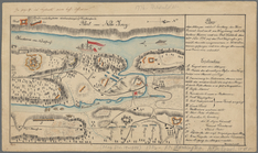
Plan der Attaque, welche Sr. …
Plan of Amelia Island in East…
A plan of Charles Town, the c…
A plan of the attack of Fort …
Plan of the siege of Savannah
m
A chart of the harbour of Rho…
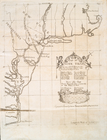
Florida, called by ye French …
A new and accurate map of eas…
A new and accurate map of eas…
Boston and the adjacent count…
The route of the army under t…
A plan of the battle, on Bunk…
A view of the rivers Kenebec …
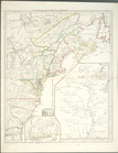
A map of the country between …
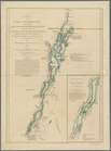
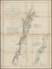
A survey of Lake Champlain: i…
A survey of Lake Champlain: i…
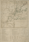
A new and accurate map of the…
The country twenty five miles…
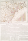
North America from the French…
Map no. I : [to accompany A b…
Map no. II : [to accompany A …
Map no. III : [to accompany A…
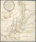
A plan of New York Island, wi…
The Theatre of war in North A…
Theatre de la guerre en Améri…
The seat of action between th…
A map of the eastern part of …
m
Map of the progress of His Ma…
The Country twenty five miles…
A plan of New York Island, wi…
A plan of the operations of t…
A map of the eastern part of …
The seat of action between th…
A plan of the operations of t…
A plan of New York Island, wi…
A new and accurate map of the…
A sketch of the operations of…
Theatrum belli in America Sep…
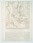
Seat of war in the environs o…
Seat of war in the environs o…
A plan of New York island, wi…
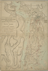
A topographical map of the no…