Click to visit the main New York Public Library Homepage
The New York Public Library
Digital Collections
About Digital Collections
Browse
Search only public domain materials
Items
Collections
Divisions
Home
Search
Browse
About
Search only public domain materials
Items
Collections
Divisions
Digital Collections
Using Images
Using Data
Search
Filtered search
Show filters
Hide filters
Show Only Public Domain
topic
Colonies
1
History
1
Smallpox
1
name
Palairet, Jean, 1697-1774
3
Haussard, C
2
Robert de Vaugondy, Gilles, 1688-1766
2
Anville, Jean Baptiste Bourguignon d', 1697-1782
1
Anville, Jean Baptiste Bourguignon d, 1697-1782, 1697-1782
1
More
Less
collection
x
Lawrence H. Slaughter Collection of English maps, charts, globes, books and atlases
place
North America
7
Louisiana
3
Canada
2
United States
2
Acadia
1
More
Less
genre
Maps
11
publisher
s.n.,
3
... Published according to Act of Parliament by Thos. Jefferys, geographer to His Royal Highness the Prince of Wales at the corner of St. Martins Lane, Charing Cross,
1
Chez R. et J. Ottens, geographes
1
Chez l'auteur, aux Galeries du Louvre
1
Publish'd by the author
1
More
Less
division
Map Division
11
type
x
cartographic
Date Range
to
11 results found
Filtering on:
x
Date
: 1754 - 1755
x
Collection
: Lawrence H. Slaughter Collection of English maps, charts, globes, books and atlases
x
Type
: cartographic
For more collection details, visit the
Lawrence H. Slaughter Collection of English maps, charts, globes, books and atlases collection page
.
Sort by:
Title
Date created
Date digitized
Sequence
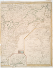
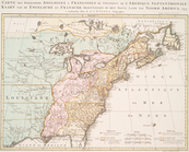
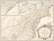
A map of the most inhabited p…
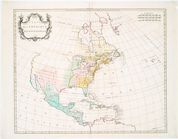
Canada et Louisiane
Carte de l'Amérique septentri…
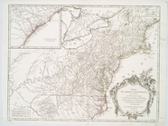
Partie de l'Amérique septentr…
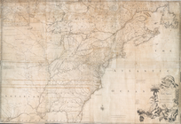
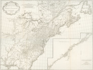
North America from the French…
m
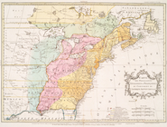
A map of the British and Fren…
Carte des possessions anglois…
Canada, Louisiane et terres a…
Carte des possessions anglois…
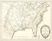
Carte de la Louisiane et pais…
Partie de l'Amérique septentr…
End of results
|
Top