Click to visit the main New York Public Library Homepage
The New York Public Library
Digital Collections
About Digital Collections
Browse
Search only public domain materials
Items
Collections
Divisions
Home
Search
Browse
About
Search only public domain materials
Items
Collections
Divisions
Digital Collections
Using Images
Using Data
Search
Filtered search
Show filters
Hide filters
Show Only Public Domain
topic
Maps
22
Nautical charts
14
History
7
Landowners
7
Real property
7
More
Less
name
Homann, Johann Baptist, 1663-1724
21
Bellin, Jacques Nicolas, 1703-1772
10
Jefferys, Thomas, -1771
10
Kitchin, Thomas, 1718-1784
8
Homann Erben (Firm)
6
More
Less
collection
Maps of North America
75
Lawrence H. Slaughter Collection of English maps, charts, globes, books and atlases
30
Atlases, gazetteers, guidebooks and other books
19
John H. Levine Collection
7
Maps of New York City and State
5
More
Less
place
North America
40
America
15
Switzerland
15
Italy
14
Early works to 1800
12
More
Less
genre
Maps
144
Manuscript maps
7
Surveys
5
Nautical charts
3
Aerial views
1
More
Less
publisher
publisher not identified
10
s.n
7
s.n.,
4
Debure, pere
3
Chez Cóvens & Mortier
2
More
Less
division
x
Map Division
type
cartographic
144
text
2
Date Range
to
144 results found
Filtering on:
x
Date
: 1757 - 1772
x
Division
: Map Division
Sort by:
Title
Date created
Date digitized
Sequence
A map of the icy sea in which…
A compleat map of North-Carol…
A general chart of all the co…
A Plan of the Straits of St. …
Parts of Ohio & Pennsylvania …
A new plan of ye great town o…
A draught of Port Royal Harbo…
Carte reduite des costes de l…
A draught of West Florida : f…
A sketch of the Cherakee boun…
Plan of Amelia Island in East…
Plan of the bay and island of…
m
A map of South Carolina and a…
East Florida : from surveys m…
m
A map of South Carolina : wit…
Louisiana, as formerly claime…
A plan of Bahia del Espiritu …
Plan of the town and harbour …
Plan de la Baye de Pensacola …
m
A new map of the River Missis…
A map of the new governments …
A new and accurate map of eas…
A new and accurate map of eas…
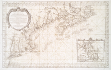
A map of New England, and Nov…
A map of the country between …
Birds' eye view of New London…
A map of the colonies of Conn…
A new map of the Cherokee Nat…
Distribution of his majesty's…
A map of the whole continent …
m
M. Stacy 1000 a. (survey of M…
m
Charls Reed's survey & draugh…
m
James Freese's mapp of his lo…
m
Coppy of M. Stacys survey, 13…
m
Mahlon Wright's draft of 86 a…
A new and accurate map of the…
A new and accurate map of Nor…
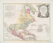
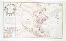
America Septentrionalis conci…
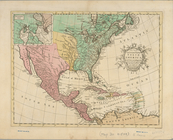
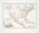
A new map of North America fr…
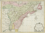
The provinces of New York, an…
[A chart of New York Island &…
To His Excellency Sr. Henry M…
A map of that part of America…
Carte de la Louisiane, Maryla…
A new and correct chart of th…
A chart of the sea coast of N…
Carte reduite des costes orie…
L'Amérique septentrionale
A new map of North America: w…
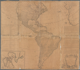
The Earth's Western planisphe…