Click to visit the main New York Public Library Homepage
The New York Public Library
Digital Collections
About Digital Collections
Browse
Search only public domain materials
Items
Collections
Divisions
Home
Search
Browse
About
Search only public domain materials
Items
Collections
Divisions
Digital Collections
Using Images
Using Data
Search
Filtered search
Show filters
Hide filters
Show Only Public Domain
topic
Geography
141
History
92
Road maps
54
Nautical charts
50
Atlases, British
44
More
Less
name
Sayer, Robert, 1725-1794
61
Tiebout, Cornelius, 1777-1832
61
Colles, Christopher, 1738-1816
53
Cary, John, approximately 1754-1835
47
Faden, William, 1749-1836
46
More
Less
collection
Bancker plans
623
Lawrence H. Slaughter Collection of English maps, charts, globes, books and atlases
283
Maps of North America
188
Atlases, gazetteers, guidebooks and other books
70
Maps of New York City and State
46
More
Less
place
United States
153
Middle Atlantic States
75
North America
73
Great Britain
72
Maps
59
More
Less
genre
x
Maps
Surveys
622
land surveys
539
Documents
87
Prints
33
More
Less
publisher
Printed for John Cary
47
Printed for Robert Sayer, No. 53, Fleet-Street
44
Printed for J. Stockdale
25
publisher not identified
24
Imprimé à l'Université Imperiale de Moscou
22
More
Less
division
Manuscripts and Archives Division
631
Map Division
626
Rare Book Division
42
Wallach Division: Print Collection
28
General Research Division
14
More
Less
type
cartographic
1354
text
160
still image
10
Date Range
to
1,360 results found
Filtering on:
x
Date
: 1766 - 1794
x
Genre
: Maps
Sort by:
Title
Date created
Date digitized
Sequence
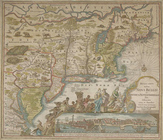
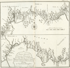
From New York (1) to Stratford
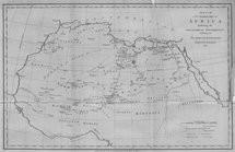
Map of Africa
Map of US/Canada border by Sa…
Plan de la maison de plaisanc…
Solitude jardin chinois anglo…
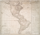
Amérique septentrionale dress…
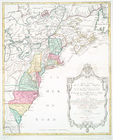
Carte de la Virginie et du Ma…
Nova Anglia Septentrionali Am…
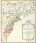
Partie de l'Amerique septentr…
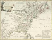
A New and correct map of the …
Carte réduite des côtes orien…
A plan of the city and enviro…
Recens edita totius Novi Belg…
An Accurate map of New York i…
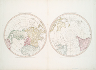
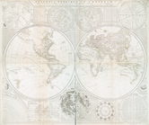
Northern Hemisphere ; Souther…
New World, or, Western Hemisp…
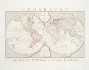
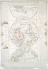
A map of the world, with the …
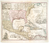
Regni Mexicani seu Novae Hisp…
Carte nouvelle de l'Amerique …
Carte nouvelle de l'Amerique …
Ètats-Unis de l'Amérique sept…
Chart of the N.W. coast of Am…
A Map of Africa drawn & engra…
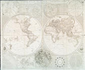
Map of the world drawn and en…
The Atlantic or Western Ocean
m
Sable Island
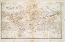
Chart of the world on Mercato…
Scientia terrarum et coelorum…
Carte generale de la terre : …
A general map of the world, o…
Chart of the Atlantic Ocean, …
Chart of the Gulf Stream
Carte réduite de l'Ocean occi…
A new map or chart in Mercato…
Carte réduite de l'Ocean occi…
L'America secondo leultime os…
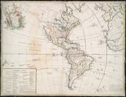
Amérique ou Indes Occidentale…
L'Amerique suivant le R.P. Ch…
1. Plan de L'Isle St. louis, …
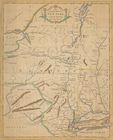
Sketch of the Northern Part o…
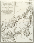
A particular map of the road …
A particular map of the road …
A particular map of the voyag…
A particular map of the autho…
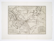
Plan of the operations of Gen…
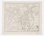
A new map of the province of …
A chart of Delaware Bay and R…
A plan of New York Island, wi…
A map of that part of Pensylv…
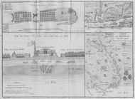
Chart and plan of the harbour…
1
2
3
4
5
6
Previous
Next
1
2
3
4
5
6
Previous
Next