Click to visit the main New York Public Library Homepage
The New York Public Library
Digital Collections
About Digital Collections
Browse
Search only public domain materials
Items
Collections
Divisions
Home
Search
Browse
About
Search only public domain materials
Items
Collections
Divisions
Digital Collections
Using Images
Using Data
Search
Filtered search
Show filters
Hide filters
Show Only Public Domain
topic
Geography
141
History
92
Road maps
54
Nautical charts
50
Atlases, British
44
More
Less
name
Sayer, Robert, 1725-1794
61
Tiebout, Cornelius, 1777-1832
61
Colles, Christopher, 1738-1816
53
Cary, John, approximately 1754-1835
47
Faden, William, 1749-1836
46
More
Less
collection
Bancker plans
623
Lawrence H. Slaughter Collection of English maps, charts, globes, books and atlases
283
Maps of North America
188
Atlases, gazetteers, guidebooks and other books
70
Maps of New York City and State
46
More
Less
place
United States
153
Middle Atlantic States
75
North America
73
Great Britain
72
Maps
59
More
Less
genre
x
Maps
Surveys
622
land surveys
539
Documents
87
Prints
33
More
Less
publisher
Printed for John Cary
47
Printed for Robert Sayer, No. 53, Fleet-Street
44
Printed for J. Stockdale
25
publisher not identified
24
Imprimé à l'Université Imperiale de Moscou
22
More
Less
division
Manuscripts and Archives Division
631
Map Division
626
Rare Book Division
42
Wallach Division: Print Collection
28
General Research Division
14
More
Less
type
cartographic
1354
text
160
still image
10
Date Range
to
1,360 results found
Filtering on:
x
Date
: 1766 - 1794
x
Genre
: Maps
Sort by:
Title
Date created
Date digitized
Sequence
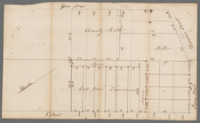
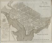
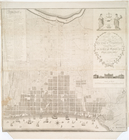
Plan de la ville de Washingto…
m
Hanover Square
m
North side of Hanover Square
m
Corner of Broadway and Beaver…
m
Broadway, Greenwich, Oyster P…
m
Sixth and Division Street
m
John Rapelie - survey of part…
m
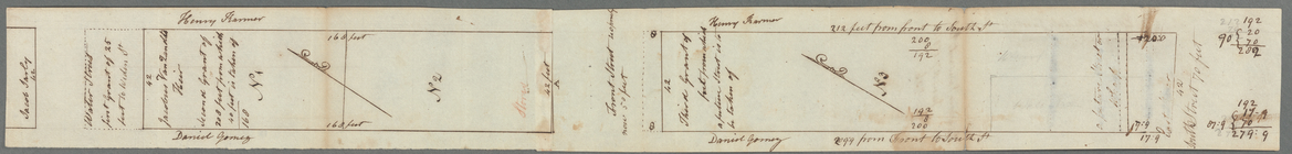
Ground lying on the east side…
m
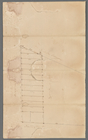
Water Street
m
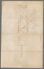
John Carpenter's lots
Map of the middle states of A…
m
Bowery Lane
m
Ground lying between Broadway…
A general map of North Americ…
m
Rutgers's store, Rutgers Stre…
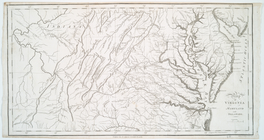
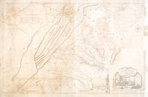
Map of Virginia, Maryland and…
m
Estate of the late Jacobus Va…
m
Lot numbers 1 to 5 - R. Livin…
m
Lot numbers 5 to 10 - R. Livi…
m
Water Street and William Stre…
m
Lots of the late R. Livingsto…
m
Greenwich
m
Samuel Franklin's land at Gre…
m
Road through Mr. Robertson's …
m
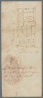
Duke and Mill Street
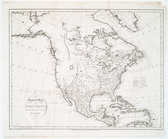
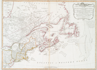
A new map of North America wi…
America divided into North an…
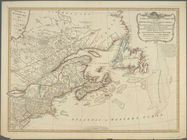
A new chart of the coast of N…
A new and general map of the …
A New and correct map of the …
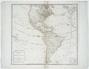
A map of the most inhabited p…
A New and correct map of the …
A New and correct map of the …
m
Lots between Broad Street and…
m
Maiden Lane
m
F. De Peyster's and Elizabeth…
m
Map of the world on a globula…
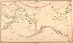
Chart of the N.W. coast of Am…
A new and general map of the …
m
A map of the most inhabited p…
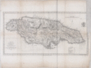
A map of the Island of Jamaic…
m
New York City directory, 1794…
To Thomas Mifflin ... this pl…
Territory of Columbia
Plan of the city of Philadelp…
Map of the United States of A…
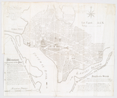
Plan of the city of Washingto…
m
To Thomas Mifflin, governor a…
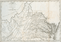
The state of Virginia : from …
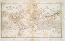
Chart of the world on Mercato…
1
2
3
4
5
6
Previous
Next
1
2
3
4
5
6
Previous
Next