Click to visit the main New York Public Library Homepage
The New York Public Library
Digital Collections
About Digital Collections
Browse
Search only public domain materials
Items
Collections
Divisions
Home
Search
Browse
About
Search only public domain materials
Items
Collections
Divisions
Digital Collections
Using Images
Using Data
Search
Filtered search
Show filters
Hide filters
Show Only Public Domain
topic
Atlases, British
44
Geography
44
Cosmography
3
Nautical charts
2
World maps
2
More
Less
name
x
Sayer, Robert, 1725-1794
Dunn, Samuel, d. 1794
44
Dunn, Samuel, -1794
4
Fry, Joshua, approximately 1700-1754
4
Jefferson, Peter, 1708-1757
4
More
Less
collection
Atlases, gazetteers, guidebooks and other books
44
Lawrence H. Slaughter Collection of English maps, charts, globes, books and atlases
5
Maps of North America
5
Maps of the World
2
Africa: with all its states, kingdoms, republics, regions, islands, &ca., improved and inlarged from D'Anville's map; to which have been added a particular chart of the Gold Coast wherein are distinguished all the European forts and factories
1
More
Less
place
Early works to 1800
7
Maps
7
America
4
Great Britain
4
North America
3
More
Less
genre
Maps
59
publisher
Printed for Robert Sayer, No. 53, Fleet-Street
44
Printed for Robt. Sayer at No. 53 in Fleet Street, & Thos. Jefferys at the corner of St. Martins Lane, Charing Cross,
2
Printed for Robert Sayer, No. 53 Fleet Street ..
1
Printed for Robert Sayer, No. 53 Fleet Street ...,
1
Printed for Robert Sayer, No. 53 Fleet Street as the Act Directs,
1
More
Less
division
Map Division
58
Schomburg Jean Blackwell Hutson Research and Reference Division
1
type
x
cartographic
text
1
Date Range
to
59 results found
Filtering on:
x
Date
: 1769 - 1791
x
Name
: Sayer, Robert, 1725-1794
x
Type
: cartographic
Sort by:
Title
Date created
Date digitized
Sequence
m
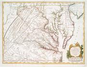
A map of the most inhabited p…
A map of the whole continent …
A chart of the Atlantic Ocean…
A chart of Delaware Bay and R…
A General map of America divi…
m
A map of the most inhabited p…
A map of the most inhabited p…
An accurate map of North Amer…
A map of the most inhabited p…
North America, as divided amo…
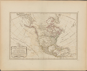
A new and correct map of Nort…
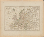
Europe divided into its princ…
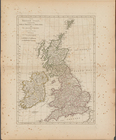
The British Isles, comprehend…
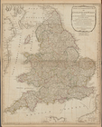
A new and compendious map of …
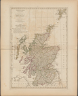
Scotland, and its islands ; o…
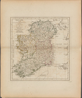
Ireland, divided into its fou…
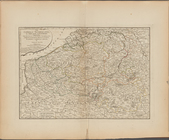
The Catholic Netherlands, or …
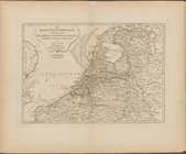
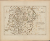
The Seven United Provinces co…
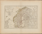
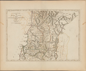
The Northern States, comprehe…
Russia, divided into its gove…
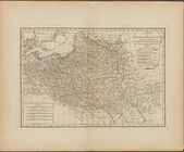
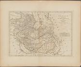
A new map of the Kingdom of P…
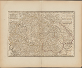
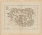
Hungary, and Transylvania; wi…
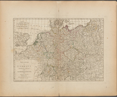
The Empire of Germany divided…
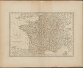
France, divided into military…
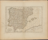
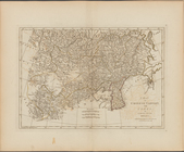
Spain and Portugal, with thei…
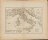
Italy, divided into its state…
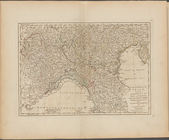
The North part of Italy ...
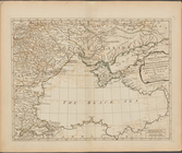
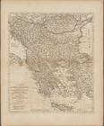
First part of Turkey in Europ…
Second part of Turkey in Euro…
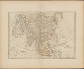
Asia, divided into its princi…
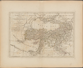
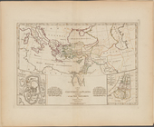
A map of Turkey in Asia, cont…
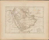
Arabia, according to its mode…
Persia, divided into its grea…
A map of independent Tartary,…
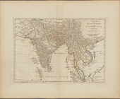
A complete map of the East In…
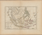
The East India Islands, compr…
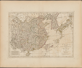
China, divided into its great…
A map of Chinese Tartary, wit…
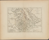
A compleat map of the Holy La…
Part IId. of the compleat map…
A map of the countries and pl…
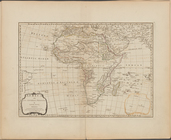
Africa and its several regions
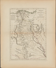
Ancient and modern Egypt
A map of Abyssinia and Nubia
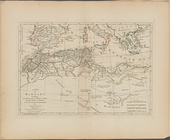
A map of Barbary, containing …
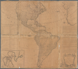
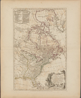
America North and South and t…
North America, with the West …
A new map of the United State…
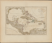
A compleat map of the West In…
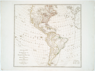
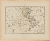
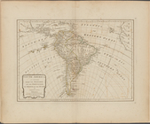
South America as divided amon…