Click to visit the main New York Public Library Homepage
The New York Public Library
Digital Collections
About Digital Collections
Browse
Search only public domain materials
Items
Collections
Divisions
Home
Search
Browse
About
Search only public domain materials
Items
Collections
Divisions
Digital Collections
Using Images
Using Data
Search
Filtered search
Show filters
Hide filters
Show Only Public Domain
topic
x
Real property
Fire insurance
3233
Cities & towns
3128
Business enterprises
468
Landowners
422
More
Less
name
Sanborn Map Company
3128
Beers, F. W. (Frederick W.)
356
Perris, William
260
E. Robinson Co
256
Robinson, E. (Elisha)
248
More
Less
collection
Atlases of New York City
3837
Atlases of the United States
1318
Maps of North America
290
Maps of New York City and State
246
Collection of broadside real estate maps announcing auctions of lots in early 19th century New York City
67
More
Less
place
New York (State)
5314
New York
807
Manhattan (New York, N.Y.)
341
Brooklyn (New York, N.Y.)
258
New York (N.Y.)
244
More
Less
genre
Maps
5577
Atlases
1315
Cadastral maps
432
Prints
69
Title pages
40
More
Less
publisher
Sanborn Map Company
3128
E. Robinson Co
209
F. W. Beers & Co
148
Perris & Browne
124
G.M. Hopkins & Co
108
More
Less
division
Map Division
5630
Manuscripts and Archives Division
2
No Division
1
type
cartographic
5640
text
144
still image
30
Date Range
to
5,763 results found
Filtering on:
x
Date
: 1777 - 1890
x
Topic
: Real property
Sort by:
Title
Date created
Date digitized
Sequence
Results 2251 - 2300
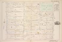
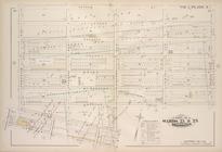
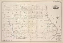
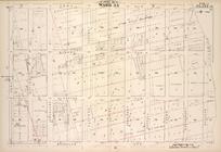
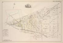
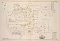
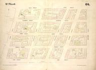
Map bound by Boerum St., Bush…
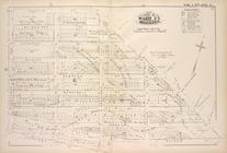
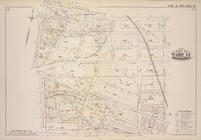
Map bound by Broadway, Middle…
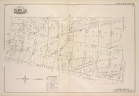
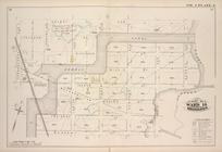
Map bound by Lee Ave., Flushi…
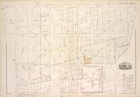
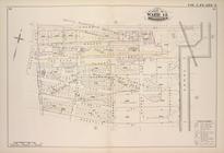
Map bound by First St., Secon…
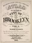
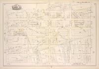
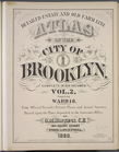
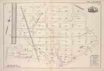
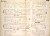
Detailed Estate and Old Farm …
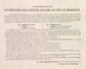
Prospectus of Detailed Real E…
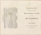
Prospectus For Publishing A S…
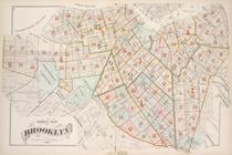
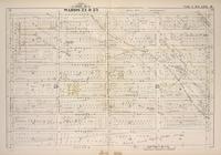
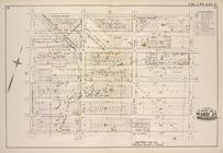
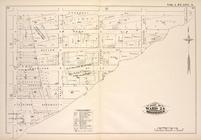
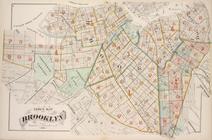
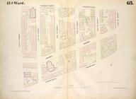
Index Map of Brooklyn
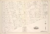
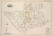
Map bounded by Lafayette Ave.…
Map bounded by Lafayette Ave.…
Map bounded by Lafayette Ave.…
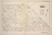
Map bounded by Putnam Ave., T…
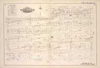
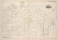
Map bounded by Putnam Ave., S…
Map bounded by Madison St., R…
Map bounded by Madison St., B…
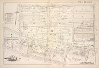
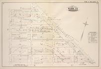
Map bound by Atlantic Ave., N…
Map bound by Herkimer St., Tr…
Map bound by Decatur St., Pat…
Map bound by Decatur St., Sar…
Map bound by Meeker Ave., New…
Map bound by Division Pl., Ne…
Map bound by Decatur St., Bro…
Map bound by Roges Ave., City…
Map bound by Brooklyn Ave., C…
Map bound by Troy Ave., City …
Map bound by Dean St., Pacifi…
Map bound by Douglass St., Bu…
Map bound by Atlantic Ave., H…
Map bound by Prospect Pl., Ho…
Map bound by Herkimer St., Ro…
Detailed Estate and Old Farm …
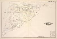
Index Map of Brooklyn
Map bound by Bayard (Sanford)…
.Map bound by Frost St., King…
Map bound by Orient Ave., Cit…
Map bound by Grand St., Canal…
Map bound by Meserole St., Ca…
Map bound by Meadow St., Metr…
Map bound by Flushing Ave., B…
Map bound by Bogart St., Tham…
Map bound by City Line, Green…
Map bound by Central Ave., Hi…
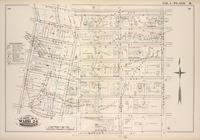
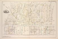
Map bounded by Bank Street, B…
Map bounded by University Pla…
Map bounded by West 14th Stre…
Map bounded by West 4th Stree…
Map bounded by Bleecker Stree…
Map bounded by West Street, W…
Map bounded by West 17th Stre…
Map bounded by West 17th Stre…
1
2
…
7
8
9
10
11
12
13
14
…
23
24
Previous
Next
1
2
…
7
8
9
10
11
12
13
14
…
23
24
Previous
Next