Click to visit the main New York Public Library Homepage
The New York Public Library
Digital Collections
About Digital Collections
Browse
Search only public domain materials
Items
Collections
Divisions
Home
Search
Browse
About
Search only public domain materials
Items
Collections
Divisions
Digital Collections
Using Images
Using Data
Search
Filtered search
Show filters
Hide filters
Show Only Public Domain
topic
x
Real property
Fire insurance
3233
Cities & towns
3128
Business enterprises
468
Landowners
422
More
Less
name
Sanborn Map Company
3128
Beers, F. W. (Frederick W.)
356
Perris, William
260
E. Robinson Co
256
Robinson, E. (Elisha)
248
More
Less
collection
Atlases of New York City
3837
Atlases of the United States
1318
Maps of North America
290
Maps of New York City and State
246
Collection of broadside real estate maps announcing auctions of lots in early 19th century New York City
67
More
Less
place
New York (State)
5314
New York
807
Manhattan (New York, N.Y.)
341
Brooklyn (New York, N.Y.)
258
New York (N.Y.)
244
More
Less
genre
Maps
5577
Atlases
1315
Cadastral maps
432
Prints
69
Title pages
40
More
Less
publisher
Sanborn Map Company
3128
E. Robinson Co
209
F. W. Beers & Co
148
Perris & Browne
124
G.M. Hopkins & Co
108
More
Less
division
Map Division
5630
Manuscripts and Archives Division
2
No Division
1
type
cartographic
5640
text
144
still image
30
Date Range
to
5,763 results found
Filtering on:
x
Date
: 1777 - 1890
x
Topic
: Real property
Sort by:
Title
Date created
Date digitized
Sequence
Results 1751 - 1800
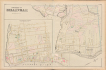
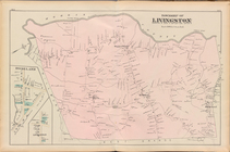
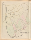
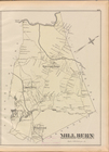
Essex County, Left Page Plate…
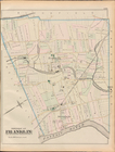
Essex County, Left Page Plate…
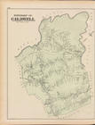
Essex County, Left Page Plate…
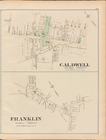
Essex County, Left Page Plate…
Essex County, Left Page Plate…
Essex County, Right Page Plat…
Essex County, Left Page Plate…
Essex County, Right Page Plat…
Essex County, Left Page Plate…
Essex County, Left Page Plate…
Essex County, Right Page Plat…
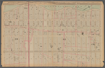
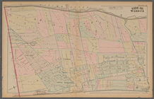
Plate 25: : [Bounded by Twelf…
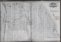
Plate 21: : [Bounded by E. 86…
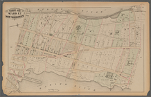
Plate 17:: Bounded by (Hudson…
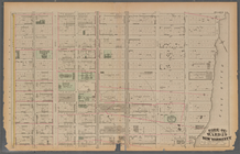
Plate 37:: [Bounded by New Yo…
Plate 13:: [Bounded by W. 38t…
Plate 38:: [Bounded by (Harle…
Plate 30:: [Bounded by W. 152…
Plate 31:: [Bounded by Hudson…
Plate 20:: [Bounded by E. 74t…
Atlas of the entire city of N…
Plate 16:: [Bounded by W. 62n…
Plate 34:: [Bounded by 156th …
Plate 24:: [Bounded by E. 120…
Plate 12:: [Bounded by W. 26t…
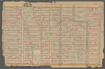
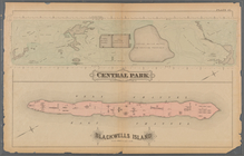
Plate 41:: [Central Park boun…
Map bounded by West 42nd Stre…
Map bounded by West 47th Stre…
Map bounded by West 47th Stre…
Map bounded by West 47th Stre…
Map bounded by West 52nd Stre…
Map bounded by West 52nd Stre…
Map bounded by West 52nd Stre…
Map bounded by West 57th Stre…
Map bounded by West 57th Stre…
Map bounded by West 57th Stre…
Map bounded by West 57th Stre…
Map bounded by East 57th Stre…
Map bounded by East 57th Stre…
Map bounded by East 62nd Stre…
Map bounded by East 62nd Stre…
Map bounded by East 62nd Stre…
Map bounded by West 59th Stre…
Map bounded by West 62nd Stre…
Map bounded by West 64th Stre…
Map bounded by West 72nd Stre…
Map bounded by West 67th Stre…
Map bounded by West 72nd Stre…
Map bounded by East 67th Stre…
Map bounded by East 67th Stre…
1
2
…
5
6
7
8
9
10
11
12
…
23
24
Previous
Next
1
2
…
5
6
7
8
9
10
11
12
…
23
24
Previous
Next