Click to visit the main New York Public Library Homepage
The New York Public Library
Digital Collections
About Digital Collections
Browse
Search only public domain materials
Items
Collections
Divisions
Home
Search
Browse
About
Search only public domain materials
Items
Collections
Divisions
Digital Collections
Using Images
Using Data
Search
Filtered search
Show filters
Hide filters
Show Only Public Domain
topic
History
27
Nautical charts
18
Administrative and political divisions
6
Fortification
6
Coasts
5
More
Less
name
Lodge, John, -1796
20
Bew, John, -1793
15
Faden, William, 1749-1836
13
Zatta, Antonio, fl. 1757-1797
12
Hinton, John, -1781
11
More
Less
collection
Bancker plans
207
Maps of North America
66
Lawrence H. Slaughter Collection of English maps, charts, globes, books and atlases
57
Maps of New York City and State
13
Cartographic materials from the Emmet collection of manuscripts etc. relating to American history
6
More
Less
place
North America
24
New York (State)
22
New Jersey
18
United States
18
Maps
17
More
Less
genre
x
Maps
Surveys
207
land surveys
178
Documents
29
Early maps
5
More
Less
publisher
Presso Antonio Zatta
12
J. Hinton
8
J.F.W. Des Barres
6
publisher not identified
6
s.n
6
More
Less
division
Manuscripts and Archives Division
211
Map Division
149
Wallach Division: Print Collection
4
Rare Book Division
2
Wallach Division: Art & Architecture Collection
2
More
Less
type
cartographic
369
text
32
still image
5
Date Range
to
370 results found
Filtering on:
x
Date
: 1778 - 1782
x
Genre
: Maps
Sort by:
Title
Date created
Date digitized
Sequence
m
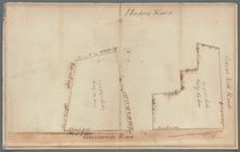
Map of the East Side of the N…
A chart of Delaware Bay and R…
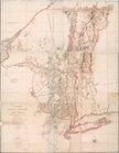
A new map of North America fr…
m
Plano.: de la Ysla de Sn. Jua…
m
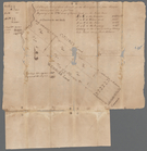
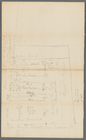
Lots near Amity Street, Broad…
m
Webber and Van Arden
m
Map of Little Bloomingdale
A map of Dutch settlements of…
m
Plot of farm bounded by N. Ri…
m
Hopper Farm, showing divisions
m
The late John Hopper's farm a…
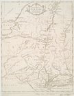
A chorographical map of the p…
m
circa 1780-1785
m
circa 1780-1785
m
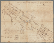
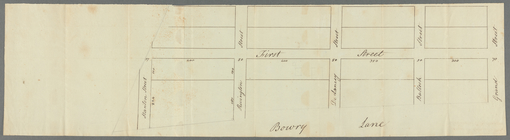
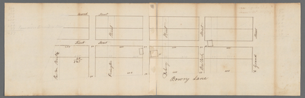
Plot on Bowery lane
m
Bowery Lane and King's Bridge…
m
Potters field
m
Lot near Jewish burying ground
m
Alderman Dykeman's land betwe…
m
First sketch of James De Lanc…
m
Captain De Lancey's ground
m
Captain De Lancey's ground - …
m
Measurement of De Lancey's gr…
m
Quantity of lots in the unequ…
m
Plan of Mr. Mott and Mr. Sawy…
m
Draft of square B of James De…
m
Plan of lots number one to fo…
m
Plan of square A of James De …
m
Survey of the Old House near …
m
General plan of Captain De La…
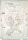
Carte generale de la terre : …
m
A chorographical map of the p…
m
Battery
m
James Delancey's lot and old …
m
Malleshaw's near Fresh Water
m
Piece of Church ground leased…
m
College ground in the river
m
Part of the college ground
m
College ground and lots
m
Duane, Jay, Reade, Greenwich,…
m
Greenwich, Hudson, Jay, Haris…
m
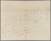
Greenwich Street between Dyes…
m
Lot surveyed for General De L…
m
Colonel Magregor's at Greenwi…
m
Greenwich - Foxcraft
m
Hammond and Amos at Greenwich
An Accurate map of New York i…
m
Ground of John Pamiter in Bea…
m
Carr's ground in Beaver Street
m
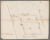
North side of Beaver Street
1
2
Previous
Next
1
2
Previous
Next