Click to visit the main New York Public Library Homepage
The New York Public Library
Digital Collections
About Digital Collections
Browse
Search only public domain materials
Items
Collections
Divisions
Home
Search
Browse
About
Search only public domain materials
Items
Collections
Divisions
Digital Collections
Using Images
Using Data
Search
Filtered search
Show filters
Hide filters
Show Only Public Domain
topic
Antiquities
77
Real property
67
Business enterprises
46
History
44
Description and travel
26
More
Less
name
Beers, F. W. (Frederick W.)
52
Lepsius, Richard, 1810-1884
39
Kruzenshtern, Ivan Fedorovich, 1770-1846
38
Erbkam, Georg Gustav, 1811-1876
21
Monecke, C
21
More
Less
collection
Atlases of the United States
68
Denkmaeler aus Aegypten und Aethiopien nach den Zeichnungen der von seiner Majestat dem Koenige von Preussen Friedrich Wilhelm IV nach diesen Landern gesendeten und in den Jahren 1842-1845 ausgefuhrten wissenschaftlichen Expedition ..
39
Puteshestvie vokrug svieta v 1803, 4, 5 i 1806 godakh: po poveleniiu ego imperatorskago velichestva Aleksandra Pervago, nakorabliakh Nadezhde i Neve, pod nachalstvom... kapitana...Kruzenshterna
38
I. N. Phelps Stokes Collection of American Historical Prints
20
Joannis Elerti Bode Uranographia, sive astrorum descriptio viginti tabulis aeneis incisa ex recentissimis et absolutissimis astronomorum observationibus ..
20
More
Less
place
Egypt
73
New York (State)
72
Orange County
32
Orange County (N.Y.)
32
Cayuga County
16
More
Less
genre
x
Prints
Maps
187
Atlases
69
Illustrations
59
Ornithological illustrations
7
More
Less
publisher
Nicolaische Buchhandlung
39
V Morskoi Tipografii
38
Andreas, Baskin & Burr
32
Apud Autorem
20
Walker & Jewett
16
More
Less
division
General Research Division
152
Map Division
77
Rare Book Division
43
Wallach Division: Art & Architecture Collection
43
Wallach Division: Print Collection
27
More
Less
type
x
cartographic
still image
29
text
13
Date Range
to
355 results found
Filtering on:
x
Date
: 1785 - 1970
x
Genre
: Prints
x
Type
: cartographic
Sort by:
Title
Date created
Date digitized
Sequence
m
Mapah derekh emet : Mapa Dere…
An old map of Heijokyo (Heijo…
An old map of Heiankyo (Heian…
Map illustrating the operatio…
Residence of James Carrigan, …
m
Atlas géologique
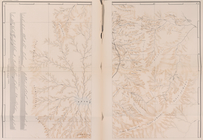
Die Karte von Arabia Petraea
Die Karte von Arabia Petraea
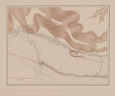
Situationsplan
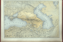
Carte generale du Caucase.
m
Various Views of St. Domingue
Planta da Cidade de Sebastiao…
Carte de l'Ancien Continent.
Carte du Nouveau Continent.
[La Carte]
Carte des deux Régions Polair…
City railway: route of the ce…
Priznaki granits I ukreplenii…
Pianta del reale giardino di …
Kosmografiia.
Planta topografica della citt…
Rouine d'un Tempio d'Iside pr…
Pianta della città del Cairo.
Pianta topografica di alcune …
Altra veduta di Carnac; Piant…
Pianta del tempio di Luxor.
Piano generale di Tebe.
Pianta del tempio di File.
Le Kaire et ses environs
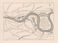
Plan of the Tunnel with refer…
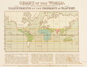
Chart of the world, on Mercat…
Geognosticheskaia karta bereg…
Karta rasprostraneniia dreves…
Plan chasti goroda Aiguna
Plan Albazinskago ukrepleniia…
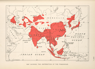
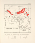
Map showing the distribution …
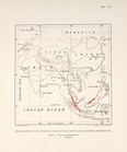
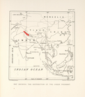
Map showing the distrubution …
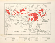
Map showing the distribution …
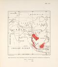
Map showing the distribution …
Map showing the distrubution …
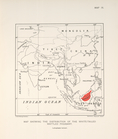
Map showing the distribution …
Map showing the distribution …
m
A map of Schuylkill County, P…
Carte du Soudan Occidental dr…
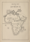
Sketch map of Africa
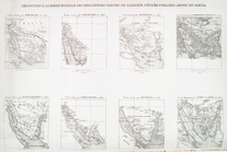
Réduction à la meme échelle d…
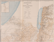
Carte de l'Arabie Pétrée levé…
Carte de l'Arabie Pétrée indi…
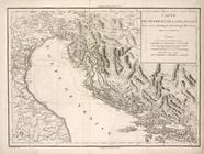
Carte de l'Istrie et de la Da…
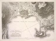
Plan General de la Ville et d…
1
2
Previous
Next
1
2
Previous
Next