Click to visit the main New York Public Library Homepage
The New York Public Library
Digital Collections
About Digital Collections
Browse
Search only public domain materials
Items
Collections
Divisions
Home
Search
Browse
About
Search only public domain materials
Items
Collections
Divisions
Digital Collections
Using Images
Using Data
Search
Filtered search
Show filters
Hide filters
Show Only Public Domain
topic
Geography
68
Historical geography
56
Atlases
55
Maps in education
55
Constellations
51
More
Less
name
Faden, William, 1749-1836
59
Stockdale, John, 1749?-1814
53
Cary, John, approximately 1754-1835
44
Horwood, Richard
32
Morse, Jedidiah, 1761-1826
32
More
Less
collection
Bancker plans
320
Lawrence H. Slaughter Collection of English maps, charts, globes, books and atlases
195
Maps of North America
71
Atlases, gazetteers, guidebooks and other books
38
Plan of the cities of London and Westminster: the Borough of Southwark, and parts adjoining, shewing every house
32
More
Less
place
Great Britain
101
England
87
United States
59
Europe
47
London
32
More
Less
genre
x
Maps
Surveys
320
land surveys
284
Documents
42
Prints
35
More
Less
publisher
Published by Wm. Faden, geographer to His Majesty, and His R.H. the Prince of Wales
53
Printed for John Cary
43
Chez Delamarche
30
Printed for J. Stockdale
25
Printed for John Stockdale, Piccadilly. T. Gillett, Printer, Salisbury Square
25
More
Less
division
Map Division
363
Manuscripts and Archives Division
325
General Research Division
66
Pforzheimer Collection
32
Schomburg Jean Blackwell Hutson Research and Reference Division
17
More
Less
type
x
cartographic
text
95
still image
5
Date Range
to
837 results found
Filtering on:
x
Date
: 1791 - 1804
x
Genre
: Maps
x
Type
: cartographic
Sort by:
Title
Date created
Date digitized
Sequence
A new map of Africa from the …
Map of Virginia, Maryland and…
A map of New Jersey : from th…
Chart of part of the Coast of…
Plan of Conewago Canal
m
Township of Franklin situate …
m
Franklinville with privileges…
m
Carte d'une partie de l'Etat …
A perspective view of Lake Ge…
A map of the south part of th…
A map of the world from the b…
A map of Barbary comprehendin…
m
Nicholas Carmer and Mary Clar…
m
1800 October 29
m
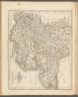
North Wales
m
South Wales
m
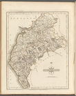
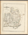
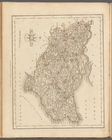
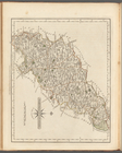
Sussex
m
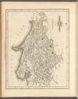
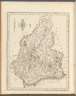
Northumberland
m
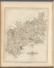
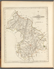
Cumberland
m
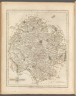
Dorsetshire
m
Glocestershire
m
Herefordshire
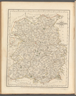
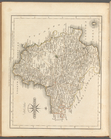
South part of the West Riding…
m
Shropshire
m
Worcestershire
m
Monmouthshire
m
Hertfordshire
m
Hampshire
m
Bedfordshire
m
East Riding of Yorkshire
m
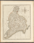
Somersetshire
m
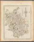
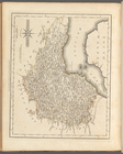
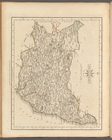
Devonshire
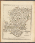
South Britain, [Frontispiece]
m
Cheshire
m
Kent
m
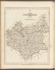
Huntingdonshire
m
Suffolk
m
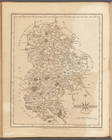
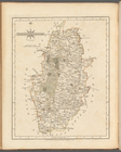
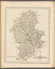
Nottinghamshire
m
Westmoreland
m
Leicestershire
m
Staffordshire
m
Essex
m
Northamptonshire
m
Durham
m
Cambridgeshire
m
Norfolk
m
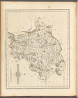
Lancashire
m
Surry
m
Derbyshire
m
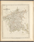
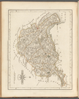
North part of the West Riding…
1
2
3
4
Previous
Next
1
2
3
4
Previous
Next