


- The Library Shop
- Privacy Policy
- Rules and Regulations
- Using the Internet
- Website Terms and Conditions
- Gifts of Materials to NYPL
-
© The New York Public Library, 2024
The New York Public Library is a 501(c)(3) | EIN 13-1887440
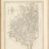
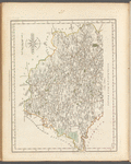
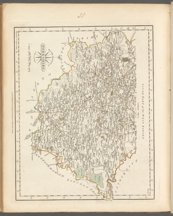
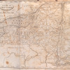
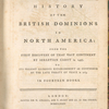
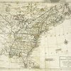
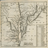
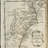
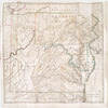
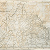
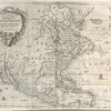
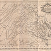
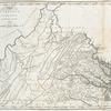
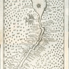
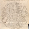
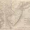
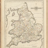
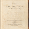
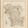
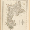
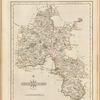
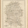
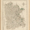
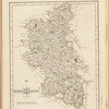
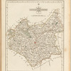
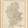
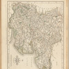
Lawrence H. Slaughter Collection of English maps, charts, globes, books and atlases
Cary's new and correct English atlas: being a new set of county maps from actual surveys ...
Lionel Pincus and Princess Firyal Map Division, The New York Public Library. "South part of the West Riding of Yorkshire" The New York Public Library Digital Collections. 1793. https://digitalcollections.nypl.org/items/cd28d950-c5d8-0137-a322-2716dd29ebab
Lionel Pincus and Princess Firyal Map Division, The New York Public Library. "South part of the West Riding of Yorkshire" New York Public Library Digital Collections. Accessed April 26, 2024. https://digitalcollections.nypl.org/items/cd28d950-c5d8-0137-a322-2716dd29ebab
Lionel Pincus and Princess Firyal Map Division, The New York Public Library. (1793). South part of the West Riding of Yorkshire Retrieved from https://digitalcollections.nypl.org/items/cd28d950-c5d8-0137-a322-2716dd29ebab
<ref name=NYPL>{{cite web | url=https://digitalcollections.nypl.org/items/cd28d950-c5d8-0137-a322-2716dd29ebab | title=
(cartographic)
South part of the West Riding of Yorkshire, (1793)
|author=Digital Collections, The New York Public Library |accessdate=April 26, 2024 |publisher=The New York Public Library, Astor, Lenox, and Tilden Foundations}}</ref>