Click to visit the main New York Public Library Homepage
The New York Public Library
Digital Collections
About Digital Collections
Browse
Search only public domain materials
Items
Collections
Divisions
Home
Search
Browse
About
Search only public domain materials
Items
Collections
Divisions
Digital Collections
Using Images
Using Data
Search
Filtered search
Show filters
Hide filters
Show Only Public Domain
topic
Real property
506
Landowners
369
Administrative and political divisions
71
Real propery auctions
67
Railroads
24
More
Less
name
Bourquin, F. (Frederick), 1808-
34
James Bleecker & Sons
34
Robinson, E. (Elisha)
31
A.H. Mueller (Publisher)
29
Worley & Bracher
29
More
Less
collection
Maps of North America
289
Maps of New York City and State
176
Collection of broadside real estate maps announcing auctions of lots in early 19th century New York City
67
Atlases of the United States
29
Maps of property in the city of New York belonging to John J. Astor Esq
1
place
New York (State)
240
New York
98
Manhattan (New York, N.Y.)
80
United States
69
New Jersey
46
More
Less
genre
x
Cadastral maps
Maps
562
Atlases
29
Manuscript maps
26
Illustrations
12
More
Less
publisher
publisher not identified
96
A.H. Mueller
29
Published by Warner & Foote
22
J.B. Beers & Co
7
Warner & Foote
6
More
Less
division
Map Division
532
Milstein Division
29
No Division
1
type
x
cartographic
still image
19
text
7
Date Range
to
562 results found
Filtering on:
x
Date
: 1793 - 1906
x
Genre
: Cadastral maps
x
Type
: cartographic
Sort by:
Title
Date created
Date digitized
Sequence
m
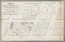
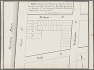
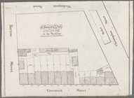
Maps of property in the city …
m
Map of the borough of Queens,…
m
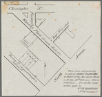
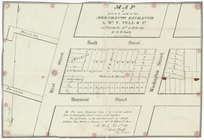
Peremptory sale of a suburban…
Flushing
Livingston Heights : Livingto…
m
Map of the southern part of W…
m
Map of Ulster County, New York
m
Map of Washington County, New…
Map of the city of San Jose
Harrison's map of Jersey City…
A map of the town of New-ark …
Plan of Public Garden: showin…
Plan of real estate at Harris…
Plan of land on West Chester …
m
Chicago
Chicago : correctly copied fr…
Subdivision of Block 5 of the…
Map of the city of Detroit, 1…
m
To the honourable House of Re…
Map of the survey of Wissahic…
m
Map of Bates County, Missouri
m
Map of Johnson County, Missou…
m
Map of Pettis County, Missour…
m
Wright's map of Kansas City, …
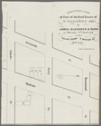
Horatio Street, Hudson Street…
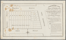
These lots will positively be…
Gansevoort Street, 9th Avenue…
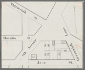
Jane Street, Eighth Avenue, T…
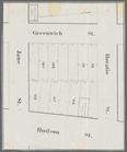
Thirteenth Street, Greenwich …
m
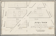
Map of lots to be sold at auc…
m
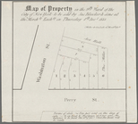
Hammond Street, Perry Street,…
m
3 three story brick houses in…
Peremptory sale these 15 valu…
Map of lots to be sold at auc…
Executors sale of part of the…
m
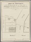
Map of property in the 9th wa…
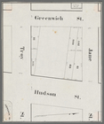
Hudson Street, Horatio Street…
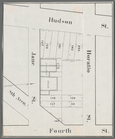
Greenwich Street, Troy Street…
m
Map of 19 lots in the fifteen…
Map of 14 lots in the 9th war…
m
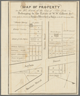
Map of part of the real estat…
Chancery sale, Nov. 30th, 183…
m
Map of property in the 9th wa…
Map of property in the 9th wa…
Map of property in the 9th wa…
13 lots of ground to be sold …
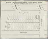
A map of property belonging t…
Map of lots to be sold at the…
m
Map of property in the 9th wa…
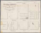
Valuable property for sale on…
1
2
3
Previous
Next
1
2
3
Previous
Next