


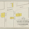
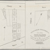
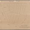
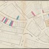
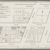
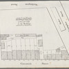
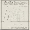
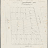
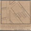
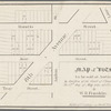
![Map & plan of the contemplated widening and extension of William Strt from Maiden Lane to Broad St. ... [A second example of the southern sheet of the previous map]](https://images.nypl.org/index.php?id=57565859&t=b)
- The Library Shop
- Privacy Policy
- Rules and Regulations
- Using the Internet
- Website Terms and Conditions
- Gifts of Materials to NYPL
-
© The New York Public Library, 2024
The New York Public Library is a 501(c)(3) | EIN 13-1887440
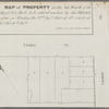
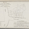
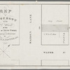
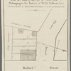
Lionel Pincus and Princess Firyal Map Division, The New York Public Library. "A map of property belonging to the estate of Robert Robinson, deceased, situated in the Eight Ward of the city of New-York" The New York Public Library Digital Collections. 1832 - 1837. https://digitalcollections.nypl.org/items/e9826950-3a81-0136-2d6d-04567611385c
Lionel Pincus and Princess Firyal Map Division, The New York Public Library. "A map of property belonging to the estate of Robert Robinson, deceased, situated in the Eight Ward of the city of New-York" New York Public Library Digital Collections. Accessed May 14, 2024. https://digitalcollections.nypl.org/items/e9826950-3a81-0136-2d6d-04567611385c
Lionel Pincus and Princess Firyal Map Division, The New York Public Library. (1832 - 1837). A map of property belonging to the estate of Robert Robinson, deceased, situated in the Eight Ward of the city of New-York Retrieved from https://digitalcollections.nypl.org/items/e9826950-3a81-0136-2d6d-04567611385c
<ref name=NYPL>{{cite web | url=https://digitalcollections.nypl.org/items/e9826950-3a81-0136-2d6d-04567611385c | title=
(cartographic)
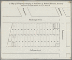
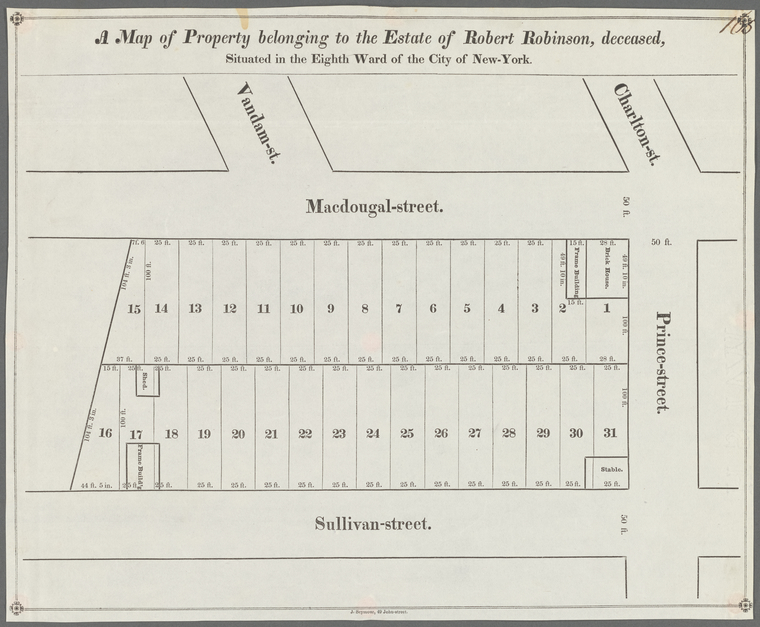
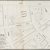
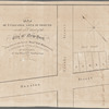
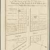
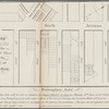
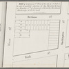
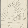
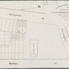
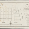
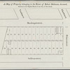
A map of property belonging to the estate of Robert Robinson, deceased, situated in the Eight Ward of the city of New-York, (1832 - 1837)
|author=Digital Collections, The New York Public Library |accessdate=May 14, 2024 |publisher=The New York Public Library, Astor, Lenox, and Tilden Foundations}}</ref>