


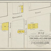
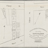
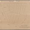
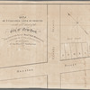
![Map & plan of the contemplated widening and extension of William Strt from Maiden Lane to Broad St. ... [A second example of the southern sheet of the previous map]](https://images.nypl.org/index.php?id=57565859&t=b)
- The Library Shop
- Privacy Policy
- Rules and Regulations
- Using the Internet
- Website Terms and Conditions
- Gifts of Materials to NYPL
-
© The New York Public Library, 2024
The New York Public Library is a 501(c)(3) | EIN 13-1887440
Lionel Pincus and Princess Firyal Map Division, The New York Public Library. "Map of property in the 1st ward of the city of New-York belonging to the estate of Henry A. Coster, decd." The New York Public Library Digital Collections. 1832 - 1837. https://digitalcollections.nypl.org/items/90cce1d0-3a82-0136-1c18-00dffa11155f
Lionel Pincus and Princess Firyal Map Division, The New York Public Library. "Map of property in the 1st ward of the city of New-York belonging to the estate of Henry A. Coster, decd." New York Public Library Digital Collections. Accessed May 8, 2024. https://digitalcollections.nypl.org/items/90cce1d0-3a82-0136-1c18-00dffa11155f
Lionel Pincus and Princess Firyal Map Division, The New York Public Library. (1832 - 1837). Map of property in the 1st ward of the city of New-York belonging to the estate of Henry A. Coster, decd. Retrieved from https://digitalcollections.nypl.org/items/90cce1d0-3a82-0136-1c18-00dffa11155f
<ref name=NYPL>{{cite web | url=https://digitalcollections.nypl.org/items/90cce1d0-3a82-0136-1c18-00dffa11155f | title=
(cartographic)
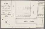
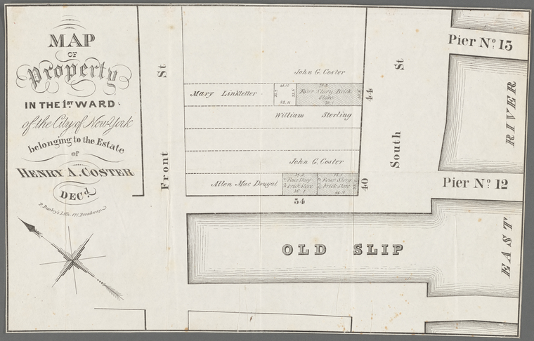
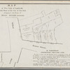
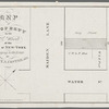
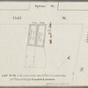
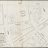
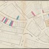
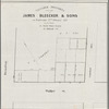
Map of property in the 1st ward of the city of New-York belonging to the estate of Henry A. Coster, decd., (1832 - 1837)
|author=Digital Collections, The New York Public Library |accessdate=May 8, 2024 |publisher=The New York Public Library, Astor, Lenox, and Tilden Foundations}}</ref>