Click to visit the main New York Public Library Homepage
The New York Public Library
Digital Collections
About Digital Collections
Browse
Search only public domain materials
Items
Collections
Divisions
Home
Search
Browse
About
Search only public domain materials
Items
Collections
Divisions
Digital Collections
Using Images
Using Data
Search
Filtered search
Show filters
Hide filters
Show Only Public Domain
topic
Real property
7278
Fire insurance
4039
Cities & towns
3829
Administrative and political divisions
869
Railroads
717
More
Less
name
Sanborn Map Company
3830
Beers, F. W. (Frederick W.)
588
E. Robinson Co
385
Ullitz, Hugo
378
E.B. Hyde & Co
356
More
Less
collection
Atlases of New York City
6009
Maps of North America
2929
Atlases of the United States
2920
Maps of New York City and State
1618
Bancker plans
496
More
Less
place
New York (State)
8073
New York
1801
New York (N.Y.)
1011
Manhattan (New York, N.Y.)
852
Brooklyn (New York, N.Y.)
837
More
Less
genre
Maps
15568
Atlases
2861
Cadastral maps
562
Surveys
556
land surveys
442
More
Less
publisher
Sanborn Map Company
3958
publisher not identified
416
E. Robinson Co
297
E. Belcher Hyde
265
G.W. Bromley & Co
246
More
Less
division
Map Division
14228
Manuscripts and Archives Division
557
General Research Division
344
Rare Book Division
156
Schomburg Jean Blackwell Hutson Research and Reference Division
87
More
Less
type
x
cartographic
text
345
still image
209
Date Range
to
15,771 results found
Filtering on:
x
Date
: 1793 - 1906
x
Type
: cartographic
Sort by:
Title
Date created
Date digitized
Sequence
Results 251 - 300
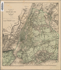
Plan of Bay Ridge Parkway
Map of the enlarged city of B…
m
New map of Kings and Queens c…
New map of Brooklyn and vicin…
m
Map of the city of Brooklyn
Map of the county of Kings, s…
Watson's new map of the city …
Map of the city of Brooklyn
m
Map of the consolidated City …
m
Map of the City of Brooklyn a…
m
Topographical map of the city…
m
Peremptory sale of a suburban…
m
Plan of property situate in t…
Plan of the town of Brooklyn …
Map of the 23rd and 24th ward…
m
Robinson's map of New York Ci…
New York and environs : desig…
Proposed site on Staten Islan…
m
Map of the underground railwa…
m
Bridgman's map of the suburbs…
Flushing
m
Driving road chart of the cou…
City guide
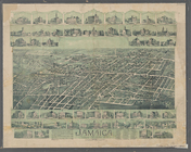
Jamaica, Long Island, N.Y
Bridgman's new map of the Cit…
m
Rand McNally & Co.'s road map…
Map showing the proposed area…
Colton's New York City, Brook…
m
Map of the Passaic and Croton…
Map of New York City : showin…
m
Map of the metropolitan distr…
New York and environs : desig…
Livingston Heights : Livingto…
m
Watson's new map of New York …
m
Watson's new map of New York …
m
Topographical map of New York…
Map of portion of greater New…
Map of the borough of Manhatt…
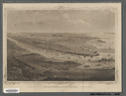
Greater New York : birdseye v…
m
Map of the City of New York a…
Map of New York City and vici…
m
Watson's new map of New York,…
m
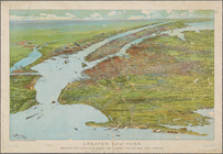
Vicinity of New York
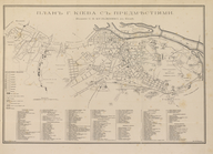
Kiev teperʹ i prezhde
Ethnological Chart of the Wor…
m
Carte trigonométrique des côt…
Vid osady Novgoroda iz Videki…
m
Plan of the Land in Haverhill…
Map of the Lower Division of …
Memo showing plan of new stre…
1
2
3
4
5
6
7
8
9
10
…
63
64
Previous
Next
1
2
3
4
5
6
7
8
9
10
…
63
64
Previous
Next