Click to visit the main New York Public Library Homepage
The New York Public Library
Digital Collections
About Digital Collections
Browse
Search only public domain materials
Items
Collections
Divisions
Home
Search
Browse
About
Search only public domain materials
Items
Collections
Divisions
Digital Collections
Using Images
Using Data
Search
Filtered search
Show filters
Hide filters
Show Only Public Domain
topic
Real property
25
Landowners
16
Administrative and political divisions
11
History
7
Railroads
7
More
Less
name
Gavit, John E., 1817-1874
6
Brodhead, John Romeyn, 1814-1873
4
Hayward, George, approximately 1800-
4
Pease, Richard H., 1813-1869
4
Blodget, Samuel, 1724-1807
2
More
Less
collection
x
Maps of New York City and State
place
New York (State)
57
Brooklyn (New York, N.Y.)
12
New York
12
Kings County (N.Y.)
4
New Netherland
4
More
Less
genre
Maps
72
Cadastral maps
22
Facsimiles
7
Early maps
6
Early works to 1800
2
More
Less
publisher
x
publisher not identified
Engraved & Printed by J. E.Gavit
1
Lith of R.H. Pease
1
Lith. by Berggoetz & Co
1
Lith. of Endicott
1
More
Less
division
Map Division
72
type
cartographic
72
text
1
Date Range
to
72 results found
Filtering on:
x
Date
: 1814 - 1879
x
Publisher
: publisher not identified
x
Collection
: Maps of New York City and State
For more collection details, visit the
Maps of New York City and State collection page
.
Sort by:
Title
Date created
Date digitized
Sequence
Map of the county of Kings, s…
Map of the rail roads of the …
Map of the rail roads of the …
Map of the tertiary of Essex …
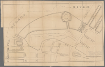
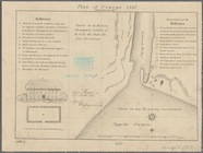
Survey of the Battery
m
Map of Albany County, New Yor…
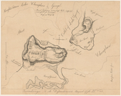
Map of Great Barn Island, New…
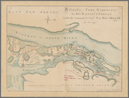
Attacks of Fort Washington by…
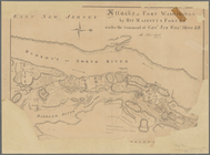
Attacks of Fort Washington by…
A map of part of the land in …
Map of the head waters of the…
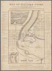
Map of Niagara Falls, and gui…
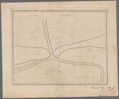
Map of the River Niagara and …
A prospective view of the bat…
A map of a tract of land in t…
Map of the mouth of big Sandy…
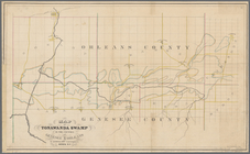
Map of Tonawanda Swamp in the…
Survey for a ship canal aroun…
Map of the upper part of the …
A plan of the Manor of Philip…
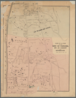
Map of pr[op]erty of Union Av…
Map of property at Van Buren …
Map of the village of Waterto…
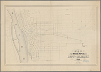
Map of the water pipes in the…
Plan of the easterly part of …
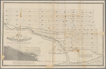
Map of Schuylerville: exhibit…
Atherton, St. Lawrence County…
Mining district of Rossie
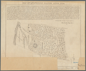
Plan of Oswego, 1727: (from P…
Ticonderoga and its dependenc…
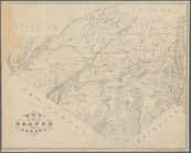
Map of Orange County: [New Yo…
Map of Dobbs Ferry and Hastin…
m
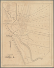
Village of Buffalo
Map of part of Orange County,…
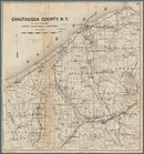
Map of Chautauqua County, N.Y…
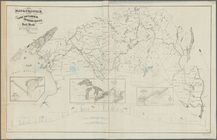
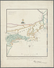
Map of New York, New England,…
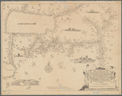
Nieu Nederlandt
Map of Livingston Manor anno …
Map & profile of the Lake Ont…
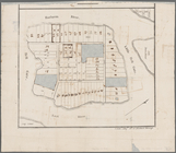
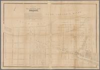
Parts of 1st ward of the city…
m
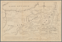
To his excellency William Try…
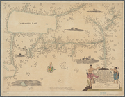
Map of New Netherland which w…
m
Niev Nederlandt
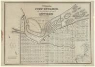
Village of Port Ontario, in t…
m
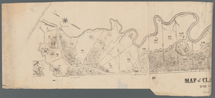
Map of Clasons Point: in the …
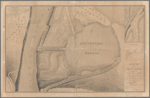
Map of Highbridgeville in the…
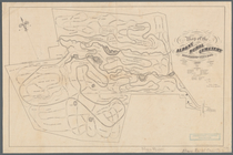
Map of the Albany Rural Cemet…
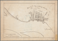
Plan of the city of Albany ab…
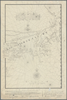
A mappe of Colonel Römers voy…
A mappe of Colonel Römers voy…