Click to visit the main New York Public Library Homepage
The New York Public Library
Digital Collections
About Digital Collections
Browse
Search only public domain materials
Items
Collections
Divisions
Home
Search
Browse
About
Search only public domain materials
Items
Collections
Divisions
Digital Collections
Using Images
Using Data
Search
Filtered search
Show filters
Hide filters
Show Only Public Domain
topic
Real property
25
Administrative and political divisions
20
Maps
11
Landowners
9
History
8
More
Less
name
Burr, David H., 1803-1875
16
S. Stiles & Co
12
Hooker, William
9
Disturnell, John, 1801-1877
6
J.H. Colton & Co
6
More
Less
collection
x
Maps of New York City and State
place
New York (State)
66
New York (N.Y.)
29
Manhattan (New York, N.Y.) -- Maps
18
New York (N.Y.) -- Maps
16
New York
13
More
Less
genre
x
Maps
Cadastral maps
12
Geological maps
2
Manuscript maps
2
Bathymetric maps
1
More
Less
publisher
publisher not identified
14
s.n
6
Ferdinand Andrews
4
Published by J.H. Colton & Co
3
Published by H. Phelps,
2
More
Less
division
Map Division
98
type
cartographic
98
text
2
still image
1
Date Range
to
98 results found
Filtering on:
x
Date
: 1829 - 1838
x
Genre
: Maps
x
Collection
: Maps of New York City and State
For more collection details, visit the
Maps of New York City and State collection page
.
Sort by:
Title
Date created
Date digitized
Sequence
m
A map shewing the extent of t…
Works at Stony Point and Verp…
A sketch of the siege of Fort…
Map of Great Barn Island, New…
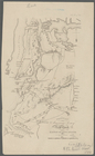
Operations on Hudson's River
Position of the American Army…
Attack on forts Clinton and M…
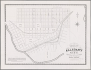
Plan of Allegany City in Catt…
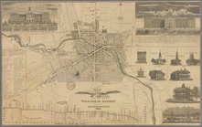
Map of the village of Auburn
m
Map of Dunkirk
Map of the River Niagara and …
Map of the mouth of big Sandy…
Map of Tonawanda Swamp in the…
Survey for a ship canal aroun…
Map of the city of Buffalo
Map of Dunkirk Harbor, showin…
Map of the upper part of the …
Map of property at Van Buren …
Map of the village of Waterto…
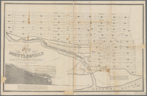
Map of Schuylerville: exhibit…
Map of the mouth of Great Sod…
Mining district of Rossie
Portland Harbour: with the pl…
Map of the village of Syracus…
Map of the village at Little …
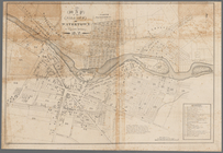
Map of the city of Buffalo
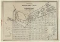
Village of Port Ontario, in t…
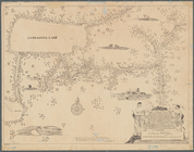
A mappe of Colonel Römers voy…
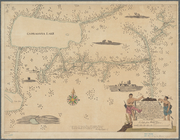
A mappe of Colonel Römers voy…
A map of the late Jackson Est…
This colour'd map exhibits a …
Pultneyville bay: with the pl…
Geology of the Genesee River
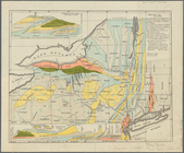
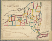
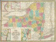
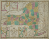
Map of the State of New York
Cataraugus harbor and the pub…
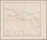
Map of the mouth of Genessee …
Map of the city of Rochester:…
Squire's map of the state of …
Map of the state of New York …
Map showing the old farms : f…
Map of the real estate in the…
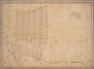
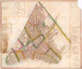
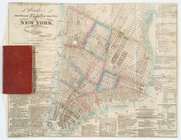
Plan of the city of New-York
Hooker's new pocket plan of t…
Map of the state of New York …
Map of part of Kingston, N.Y.…
Map of the city of New York :…
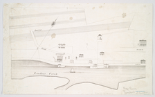
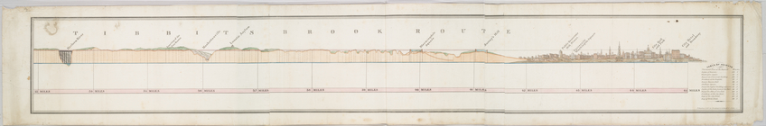
Tibbits Brook route.
m
Hooker's new pocket plan of t…
m
An improved map of the Hudson…
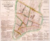
A new map of the city of New …