Click to visit the main New York Public Library Homepage
The New York Public Library
Digital Collections
About Digital Collections
Browse
Search only public domain materials
Items
Collections
Divisions
Home
Search
Browse
About
Search only public domain materials
Items
Collections
Divisions
Digital Collections
Using Images
Using Data
Search
Filtered search
Show filters
Hide filters
Show Only Public Domain
topic
Real property
1049
Landowners
346
Administrative and political divisions
342
Railroads
259
Nautical charts
230
More
Less
name
Perris, William
308
United States Coast Survey
255
Bache, A. D. (Alexander Dallas), 1806-1867
205
Beers, F. W. (Frederick W.)
176
Burr, David H., 1803-1875
142
More
Less
collection
Maps of North America
1361
Maps of New York City and State
742
Atlases of the United States
637
Atlases of New York City
532
Lawrence H. Slaughter Collection of English maps, charts, globes, books and atlases
114
More
Less
place
New York (State)
1301
New York
529
Manhattan (New York, N.Y.)
418
United States
342
New York (N.Y.)
340
More
Less
genre
Maps
3715
Atlases
611
Cadastral maps
298
Nautical charts
189
Prints
158
More
Less
publisher
publisher not identified
244
William Perris
142
U.S. Coast Survey
128
Perris & Browne
124
Chapman and Hall
109
More
Less
division
Map Division
3401
General Research Division
129
George Arents Collection
52
Rare Book Division
38
Schomburg Manuscripts, Archives and Rare Books Division
20
More
Less
type
x
cartographic
still image
116
text
105
Date Range
to
3,814 results found
Filtering on:
x
Date
: 1830 - 1870
x
Type
: cartographic
Sort by:
Title
Date created
Date digitized
Sequence
m
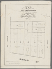
Maps of property in the city …
Maryland in Liberia
Map of Ireland, to accompany …
Map showing North Pole, [Map]
The Jeannette ; Lost In the I…
Map of Central America includ…
Colony of Liberia, on the Wes…
Carte des Parties Centrales D…
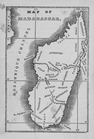
Map of Madagascar
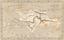
Map of Hispaniola. Hayti or S…
Map of free states, slave sta…
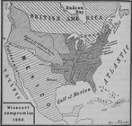
Diagr. V ; Missouri compromis…
Das freie und das Sklaverei-G…
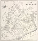
Map of Newtown, Long Island :…
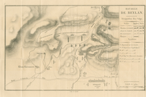
Bataille de Beylan
Map of the Indian Tribes of N…
Basin of the North Atlantic O…
m
Atlas géologique
Plan of the Battle of Fallen …
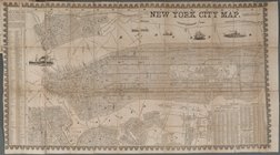
New York City Map
Region of Bone-Boiling and Sw…
Plan d'ensemble de la cité ou…
Portsmouth
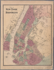
Map of New York City showing …
Plan Borodinskago srazheniia,…
A chart of the world : exhibi…
Map of lots & buildings as sh…
Histoire de la catographie de…
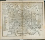
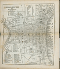
Baltimore.
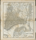
New-York.
Philadelphia and environs.
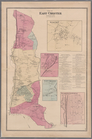
Plate 5: Map of New York and …
Plate 6: Plan of New York and…
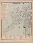
Plate 9: Tremont : Town of We…
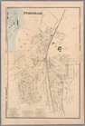
Plate 11: Fordham
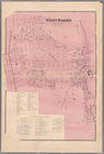
Plate 13: West Farms, Westche…
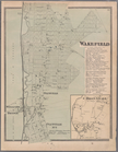
Plate 15: Wakefield : Town & …
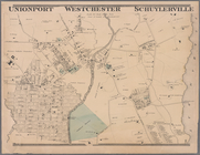
Plate 16: Unionport - Westche…
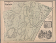
Plate 17: Map of the Woodlawn…
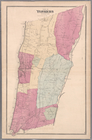
Plate 19: Town of Yonkers, We…
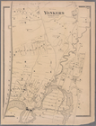
Plate 20: Yonkers, Westcheste…
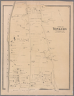
Plate 21: Town of Yonkers, We…
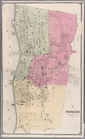
Plate 23: Yonkers, Westcheste…
Plate 24: Northern part of To…
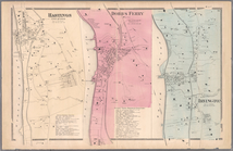
Plate 26: Hastings upon Hudso…
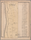
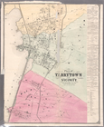
Plate 28: Plan of Tarrytown a…
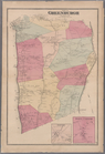
Plate 30: Town of Greenburgh,…
Plate 32: Town of East Cheste…
Plate 34: Mount Vernon, Westc…
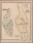
Plate 35: City Island, Pelham…
1
2
3
4
5
6
7
8
9
10
…
15
16
Previous
Next
1
2
3
4
5
6
7
8
9
10
…
15
16
Previous
Next