Click to visit the main New York Public Library Homepage
The New York Public Library
Digital Collections
About Digital Collections
Browse
Search only public domain materials
Items
Collections
Divisions
Home
Search
Browse
About
Search only public domain materials
Items
Collections
Divisions
Digital Collections
Using Images
Using Data
Search
Filtered search
Show filters
Hide filters
Show Only Public Domain
topic
Real property
7
History
6
Rivers
4
Estate
3
Landowners
3
More
Less
name
Andrews, Ferdinand, 1802-1883
4
Desobry, Prosper, -1843
3
G.W. Boynton & Co
3
Hayward, George, approximately 1800-
2
James Bleecker & Sons
2
More
Less
collection
x
Maps of New York City and State
place
x
New York (State)
New York
5
New York (N.Y.)
4
United States
4
Erie Canal (N.Y.)
3
More
Less
genre
Maps
20
Cadastral maps
3
Early maps
1
Facsimiles
1
publisher
Ferdinand Andrews
4
publisher not identified
3
Published by S. Augustus Mitchell
2
E. Huntington
1
P. Desobry under the direction of U. Wenman
1
More
Less
division
Map Division
20
type
cartographic
20
still image
1
Date Range
to
20 results found
Filtering on:
x
Date
: 1832 - 1834
x
Place
: New York (State)
x
Collection
: Maps of New York City and State
For more collection details, visit the
Maps of New York City and State collection page
.
Sort by:
Title
Date created
Date digitized
Sequence
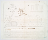
Works at Stony Point and Verp…
Map of Great Barn Island, New…
Operations on Hudson's River
Position of the American Army…
Attack on forts Clinton and M…
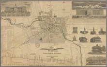
Map of the village of Auburn
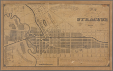
Map of the village of Syracus…
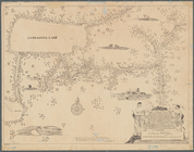
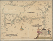
A mappe of Colonel Römers voy…
A mappe of Colonel Römers voy…
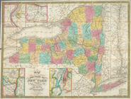
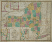
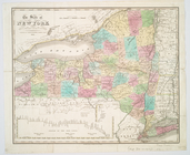
Map of the state of New York …
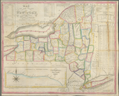
Map of the state of New York …
Map of a farm at Fort Hamilto…
The state of New York from th…
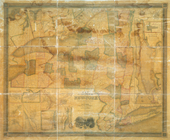
Map of the state of New York …
m
Map of the route of the propo…
Map of the state of New York …
Map of lots in the 5th ward o…
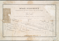
Map of property situated in t…
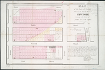
Map of 150 lots of ground sit…
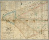
The Firemen's guide : a map o…
End of results
|
Top