Click to visit the main New York Public Library Homepage
The New York Public Library
Digital Collections
About Digital Collections
Browse
Search only public domain materials
Items
Collections
Divisions
Home
Search
Browse
About
Search only public domain materials
Items
Collections
Divisions
Digital Collections
Using Images
Using Data
Search
Filtered search
Show filters
Hide filters
Show Only Public Domain
topic
Atlases
110
Geography
110
Real property
97
Landowners
64
Administrative and political divisions
39
More
Less
name
Burr, David H., 1803-1875
122
Society for the Diffusion of Useful Knowledge (Great Britain)
113
J. & C. Walker (Firm)
105
Rawdon, Clark & Co
30
Rawdon, Wright & Co
29
More
Less
collection
Maps of North America
161
Atlases of the United States
120
Lawrence H. Slaughter Collection of English maps, charts, globes, books and atlases
111
Maps of New York City and State
94
Collection of broadside real estate maps announcing auctions of lots in early 19th century New York City
35
More
Less
place
New York (State)
177
Great Britain
113
United States
90
New York (N.Y.)
64
Manhattan (New York, N.Y.)
40
More
Less
genre
Maps
571
Atlases
94
Cadastral maps
58
Prints
29
Illustrations
21
More
Less
publisher
Chapman and Hall
109
For sale by the principal booksellers
67
publisher not identified
40
Stone and Clark,
26
S. E. Morse & co.,
18
More
Less
division
Map Division
530
General Research Division
28
Rare Book Division
11
Schomburg Manuscripts, Archives and Rare Books Division
5
Schomburg Jean Blackwell Hutson Research and Reference Division
3
More
Less
type
x
cartographic
still image
5
text
5
Date Range
to
583 results found
Filtering on:
x
Date
: 1836 - 1844
x
Type
: cartographic
Sort by:
Title
Date created
Date digitized
Sequence
13 lots of ground to be sold …
180 lots on the Marsellis Tra…
1841, showing the dates of th…
A chart of the world : exhibi…
A diagram of the State of Ala…
A geological map of Massachus…
A map exhibiting all the new …
A map of a portion of the Ind…
A map of part of Alabama & Fl…
A map of part of Alabama & Fl…
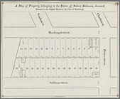
A map of property belonging t…
A map of the canals & rail ro…
A Map of the city of New York…
A map of the confluence of th…
A map of the extremity of Cap…
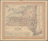
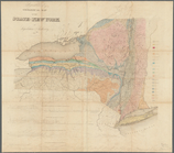
A map of the State of New Yor…
A map of Vinland: from accoun…
A map prepared for the report…
m
A map shewing the extent of t…
A new map of Arkansas
A new map of New York: with i…
m
A new map of the western rive…
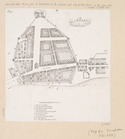
A plan of Greenville, Norwich…
m
A plan of the boundary lines …
A plat exhibiting the state o…
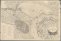
A sketch of the siege of Fort…
Aboriginal America east of th…
Africa North East of the Cape…
Africa septentrionalis
Agricultural and geological m…
Alabama
Albany
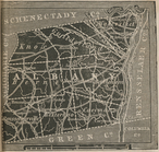
Albany County.
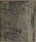
Albany.
Allegany County.
Altra veduta di Carnac; Piant…
America
m
An improved edition of a map …
Ancient Britain I
Ancient Britain II
Ancient France or Gallia Tran…
Ancient Greece: Northern part
Ancient Greece: Southern part
Ancient Indian map of Mani
Ancient Italy
Ancient Italy II
Ancient Italy part III, and S…
Ancient Macedonia, Thracia, I…
Ancient Spain and Portugal: H…
Ancient Syria
1
2
3
Previous
Next
1
2
3
Previous
Next