Click to visit the main New York Public Library Homepage
The New York Public Library
Digital Collections
About Digital Collections
Browse
Search only public domain materials
Items
Collections
Divisions
Home
Search
Browse
About
Search only public domain materials
Items
Collections
Divisions
Digital Collections
Using Images
Using Data
Search
Filtered search
Show filters
Hide filters
Show Only Public Domain
topic
x
Real property
Fire insurance
3191
Cities & towns
3086
Business enterprises
468
Landowners
278
More
Less
name
Sanborn Map Company
3086
Beers, F. W. (Frederick W.)
355
Perris, William
260
D.G. Beers & Co
161
Beers, D. G. (Daniel G.)
153
More
Less
collection
Atlases of New York City
3630
Atlases of the United States
1243
Maps of North America
223
Maps of New York City and State
186
Maps of property in the city of New York belonging to John J. Astor Esq
1
place
New York (State)
4905
New York
557
Manhattan (New York, N.Y.)
272
Brooklyn (New York, N.Y.)
175
Erie County
151
More
Less
genre
Maps
5104
Atlases
1240
Cadastral maps
280
Prints
69
Title pages
36
More
Less
publisher
Sanborn Map Company
3086
F. W. Beers & Co
148
Perris & Browne
124
G.M. Hopkins & Co
108
William Perris
105
More
Less
division
Map Division
5152
No Division
1
type
cartographic
5166
text
135
still image
26
Date Range
to
5,283 results found
Filtering on:
x
Date
: 1838 - 1885
x
Topic
: Real property
Sort by:
Title
Date created
Date digitized
Sequence
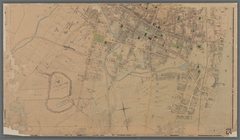
Plan of cottage sites at Magn…
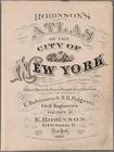
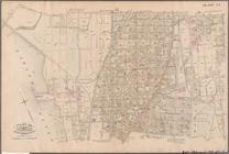
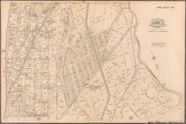
Atlas of the city of New York…
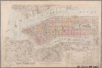
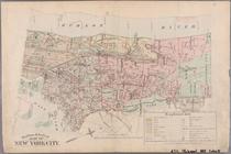
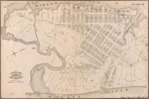
Outline & Index Map of New Yo…
Outline & Index Map of New Yo…
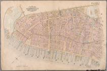
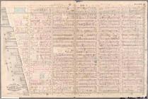
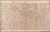
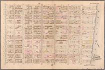
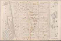
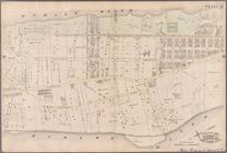
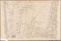
Plate 1: Bounded by Battery P…
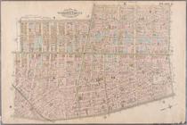
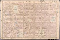
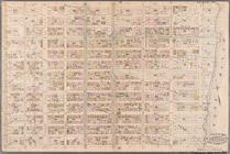
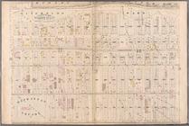
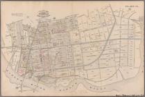
Plate 2: Bounded by West Stre…
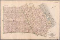
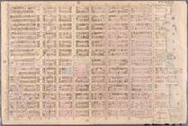
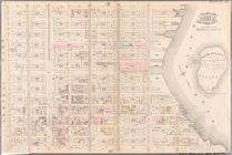
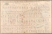
Plate 3: Bounded by West Stre…
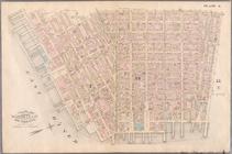
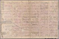
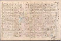
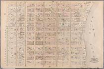
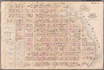
Plate 4: West Broadway, Canal…
Plate 5: Bounded by Clinton S…
Plate 6: Bounded by Rutgers S…
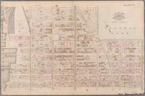
Plate 7: Bounded by Avenue A,…
Plate 8: Bounded by Bowery, F…
Plate 9: Bounded by Fourth Av…
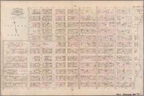
Plate 10: Bounded by West Str…
Plate 11: Bounded by W. 27th …
Plate 12: Bounded by W. 27th …
Plate 13: Bounded by W. 40th …
Plate 14: Bounded by W. 40th …
Plate 15: Bounded by W. 52nd …
Plate 16: Bounded by W. 52nd …
Plate 17: Bounded by W. 64th …
Plate 18: Bounded by E. 64th …
Plate 19: Bounded by E. 76th …
Plate 20: Bounded by E. 89th …
Plate 21: Bounded by E. 102nd…
Plate 22: Bounded by E. 115th…
Plate 23: Bounded by W. 77th …
Plate 24: Bounded by Twelfth …
Plate 25: Bounded by Hudson R…
Plate 26: Bounded by E. 128th…
Plate 27: Bounded by Eighth A…
Plate 28: Bounded by W. 129th…
Plate 29: W. 147th Street, Ex…
Plate 30: Bounded by W. 166th…
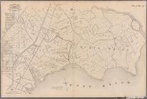
Plate 31: Bounded by Harlem R…
Plate 32: Bounded by Harlem R…
Plate 33: E. 144th Street, Ri…
Plate 34: Bounded by 161st St…
Plate 35: Bounded by .....N. …
Plate 36: Bounded by Horton S…
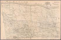
Plate 37: Bounded by Westches…
Plate 38: Bounded by Harlem R…
Plate 39: Vanderbilt Avenue, …
Plate 40: Bounded by .....
Plate 41: Bounded by City of …
m
Map of Wright County, Iowa : …
m
Map of the city of Poughkeeps…
m
Map of Polk County, Iowa : dr…
Map of property belonging to …
Map of Clay County, Florida
1
2
3
4
5
6
7
8
9
10
…
21
22
Previous
Next
1
2
3
4
5
6
7
8
9
10
…
21
22
Previous
Next