Click to visit the main New York Public Library Homepage
The New York Public Library
Digital Collections
About Digital Collections
Browse
Search only public domain materials
Items
Collections
Divisions
Home
Search
Browse
About
Search only public domain materials
Items
Collections
Divisions
Digital Collections
Using Images
Using Data
Search
Filtered search
Show filters
Hide filters
Show Only Public Domain
topic
Waterfalls
1755
Tourism
1369
Parks
1149
Rivers
479
Real property
460
More
Less
name
E. & H.T. Anthony (Firm)
1241
Lyon, Robert, 1810-1858
388
Curtis, George E., 1830-1910
360
Barker, George, 1844-1894
356
Bierstadt Brothers
316
More
Less
collection
Robert N. Dennis collection of stereoscopic views
8977
Wallach Division Picture Collection
666
Photographic views of the United States
435
The Asmonean
388
Atlases of New York City
327
More
Less
place
x
New York (State)
New York
3663
New York (N.Y.)
3078
Niagara Falls (N.Y. and Ont.)
2458
Manhattan (New York, N.Y.)
2273
More
Less
genre
Photographs
9683
Stereographs
8977
Prints
755
Maps
701
Newspapers
388
More
Less
publisher
Robert Lyon
388
Baker & Record
276
R.D. Crum
144
E. & H.T. Anthony (Firm)
126
Perris & Browne
124
More
Less
division
Wallach Division: Photography Collection
9135
Map Division
574
Milstein Division
481
Wallach Division: Picture Collection
429
Wallach Division: Print Collection
389
More
Less
type
still image
11171
cartographic
694
text
498
Date Range
to
11,946 results found
Filtering on:
x
Date
: 1844 - 1865
x
Place
: New York (State)
Sort by:
Title
Date created
Date digitized
Sequence
Results 1501 - 1550
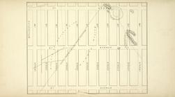
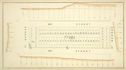
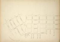
Map bounded by Avenue B, Aven…
Block No. 574 Map bounded by …
Block No. 576 Map bounded by …
Map bounded by Cherry St, Cli…
Map bounded by Pier - Line, W…
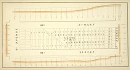
Map bounded by 7th Avenue, 96…
Map bounded by Pier - Line 40…
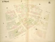
4th Ward. [Map bounded by Roo…
Block No. 681 Map bounded by …
Block No. 573 Map bounded by …
Block No. 682 Map bounded by …
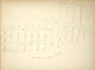
Map bounded by Jackson Street…
3rd Ward. [Map bounded by Rob…
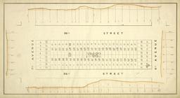
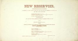
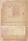
New reservoir. [Order creati…
Map bounded by Lewis Street, …
4th Ward. [Map bounded by Gol…
Map bounded by Pier - Line 15…
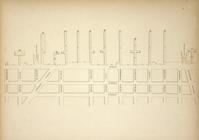
Maps of the Wharves & Piers f…
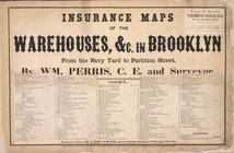
Insurance maps of the Warehou…
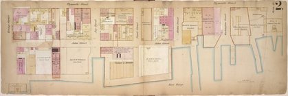
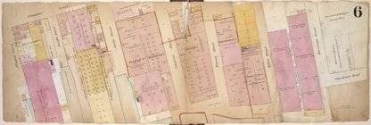
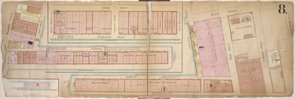
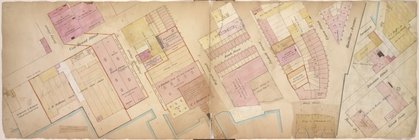
Double Page Plate No. 1; [Map…
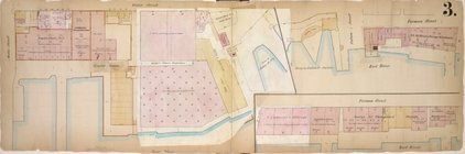
Double Page Plate No. 2; [Map…
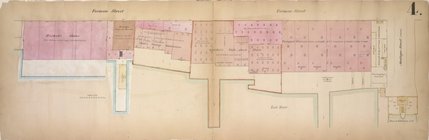
Double Page Plate No. 3; [Map…
Double Page Plate No. 4; [Map…
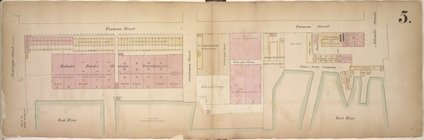
Double Page Plate No. 5; [Map…
Double Page Plate No. 6; [Map…
Double Page Plate No. 8; [Map…
Page Plate No. 9; [Map bounde…
Double Page Plate No. 10; [Ma…
Page Plate No. 11; [Map bound…
Page Plate No. 12; [Map bound…
m
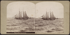
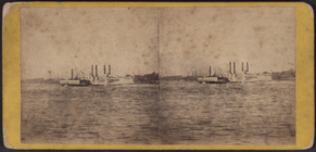
View in New York Harbor. Ferr…
m
View in New York Harbor. Sloo…
m
View looking down the East Ri…
m
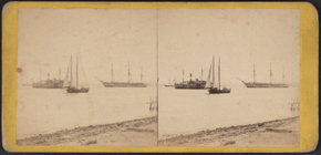
View in New York Harbor [view…
m
View in New York Harbor, take…
m
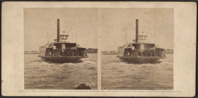
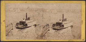
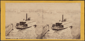
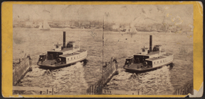
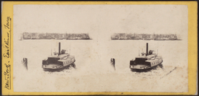
Ferry boat on the East River.
m
Ferry boat on the East River.
m
Ferry boat on the East River.
m
Ferry boat on the East River.
m
Fort Lafayette, New York Harb…
m
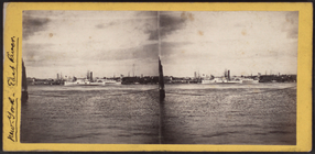
The East River from the Grand…
m
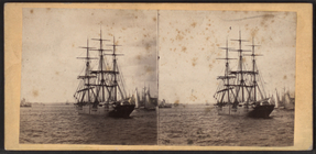
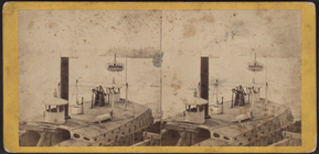
Russian frigate and sloops wi…
m
Russian frigate, government t…
m
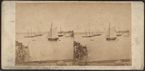
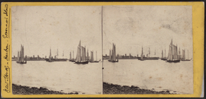
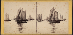
Fleet of vessels - New York B…
m
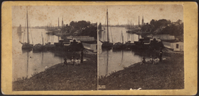
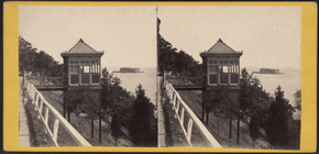
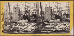
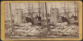
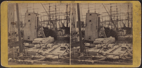
Looking along the docks, from…
m
Looking along the docks, from…
m
Looking along the docks, from…
m
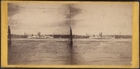
Looking up the East River, sh…
m
View of the East River, showi…
m
View of the East River, showi…
1
2
…
4
5
6
7
8
9
10
11
…
47
48
Previous
Next
1
2
…
4
5
6
7
8
9
10
11
…
47
48
Previous
Next