Click to visit the main New York Public Library Homepage
The New York Public Library
Digital Collections
About Digital Collections
Browse
Search only public domain materials
Items
Collections
Divisions
Home
Search
Browse
About
Search only public domain materials
Items
Collections
Divisions
Digital Collections
Using Images
Using Data
Search
Filtered search
Show filters
Hide filters
Show Only Public Domain
topic
Real property
356
Nautical charts
122
Fire insurance
104
Landowners
95
City planning
76
More
Less
name
Perris, William
297
United States Coast Survey
136
Perris & Browne
130
Bache, A. D. (Alexander Dallas), 1806-1867
120
New York (N.Y.). Common Council
84
More
Less
collection
Atlases of New York City
356
Maps of North America
333
Maps of New York City and State
245
Denkmaeler aus Aegypten und Aethiopien nach den Zeichnungen der von seiner Majestat dem Koenige von Preussen Friedrich Wilhelm IV nach diesen Landern gesendeten und in den Jahren 1842-1845 ausgefuhrten wissenschaftlichen Expedition ..
39
Voyage en Perse de mm. Eugène Flandin, peintre, et Pascal Coste, architecte: entrepris par ordre de m. le ministre des affaires étrangères, d'après les instructions dressées par l'Institut. Publié sous les auspices de m. le ministre de l'intérieur
3
More
Less
place
New York (State)
409
New York
308
Manhattan (New York, N.Y.)
279
New York (N.Y.)
119
Central Park (New York, N.Y.)
62
More
Less
genre
Maps
954
Nautical charts
109
Cadastral maps
79
Bathymetric maps
54
Prints
48
More
Less
publisher
William Perris
142
Perris & Browne
124
U.S. Coast Survey
76
publisher not identified
45
Nicolaische Buchhandlung
39
More
Less
division
Map Division
808
General Research Division
50
Schomburg Jean Blackwell Hutson Research and Reference Division
3
Schomburg Manuscripts, Archives and Rare Books Division
2
Manuscripts and Archives Division
1
More
Less
type
x
cartographic
still image
26
text
18
Date Range
to
996 results found
Filtering on:
x
Date
: 1852 - 1858
x
Type
: cartographic
Sort by:
Title
Date created
Date digitized
Sequence
Results 751 - 800
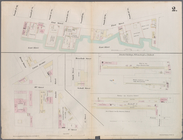
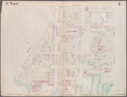
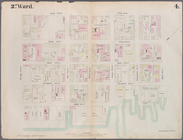
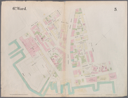
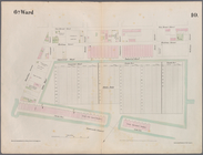
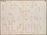
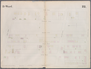
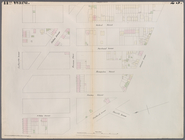
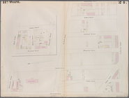
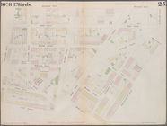
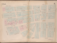
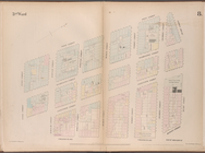
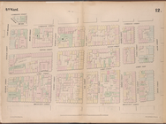
Plate 2: Map bounded by South…
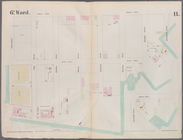
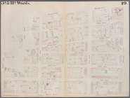
Plate 3: Map bounded by East …
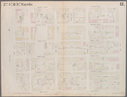
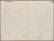
Plate 4: Map bounded by East …
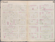
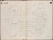
Plate 5: Map bounded by East …
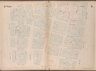
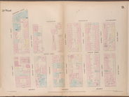
Plate 6: Map bounded by Popla…
Plate 7: Map bounded by Pierr…
Plate 8: Map bounded by Pacif…
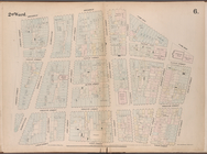
Plate 9: Map bounded by Butte…
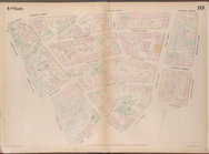
Plate 10: Map bounded by Hami…
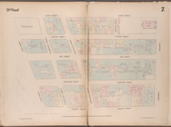
Plate 11: Map bounded by But…
Plate 12: Map bounded by York…
Plate 13: Map bounded by Conc…
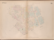
Plate 14: Map bounded by Mark…
Plate 15: Map bounded by Pine…
Plate 16: Map bounded by Mont…
Plate 17: Map bounded by Atla…
Plate 18: Map bounded by Degr…
Plate 19: Map bounded by Conc…
Plate 20: Map bounded by Flus…
Plate 21: Map bounded by Flus…
Plate 22: Map bounded by Myrt…
Plate 23: Map bounded by Lafa…
Plate 24: Map bounded by Myrt…
Plate 25: Map bounded by Will…
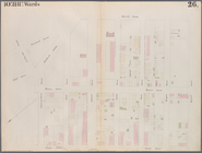
Plate 26: Map bounded by Sche…
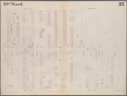
Plate 27: Map bounded by Sche…
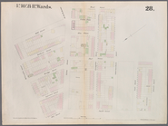
Plate 28: Map bounded by Will…
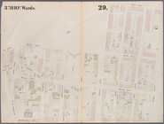
Plate 29: Map bounded by Jora…
Plate 30: Map bounded by Berg…
Plate 31: Map bounded by Warr…
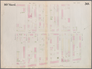
Plate 32: Map bounded by Degr…
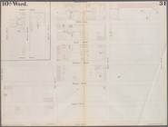
Plate 33: Map bounded by Thir…
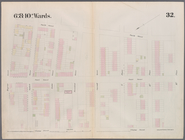
Plate 34: Map bounded by Carr…
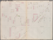
Plate 35: Map bounded by Will…
Maps of the City of Brooklyn,…
Maps of the City of Brooklyn,…
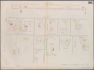
Plate 36: Maps Covering Vario…
Map bounded by Bowling Green …
Map bounded by Liberty Street…
Map bounded by Rector Street,…
Map bounded by Liberty Street…
Map bounded by Gold Street, F…
Map bounded by Broadway, Park…
Map bounded by Vesey Street, …
Map bounded by West Street, R…
Map bounded by Greenwich Stre…
Map bounded by Nassau Street,…
Map bounded by Cliff Street, …
Map bounded by Chatham Street…
Map bounded by Division Stree…
1
2
3
4
Previous
Next
1
2
3
4
Previous
Next