Click to visit the main New York Public Library Homepage
The New York Public Library
Digital Collections
About Digital Collections
Browse
Search only public domain materials
Items
Collections
Divisions
Home
Search
Browse
About
Search only public domain materials
Items
Collections
Divisions
Digital Collections
Using Images
Using Data
Search
Filtered search
Show filters
Hide filters
Show Only Public Domain
topic
Real property
138
Boundaries
5
Landowners
5
Administrative and political divisions
2
Cities and towns
2
More
Less
name
Perris & Browne
130
Perris, William
130
Connecticut. Commission on Boundary between the States of New York and Connecticut
5
New York (State), Commissioners on the New York and Connecticut Boundary
5
New York (State). Legislature. Senate
5
More
Less
collection
Atlases of New York City
130
Maps of New York City and State
18
place
x
New York (State)
New York
133
Manhattan (New York, N.Y.)
131
Connecticut
5
New York Region
3
More
Less
genre
Maps
148
Index maps
6
Title pages
6
Cadastral maps
5
Nautical charts
2
More
Less
publisher
Perris & Browne
124
Perris & Browne
6
The Commissioners
5
Benj. A. Clark
1
Herline & Hensel
1
More
Less
division
Map Division
18
type
x
cartographic
text
5
Date Range
to
148 results found
Filtering on:
x
Date
: 1857 - 1857
x
Place
: New York (State)
x
Type
: cartographic
Sort by:
Title
Date created
Date digitized
Sequence
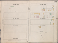
Map of property in the 19th w…
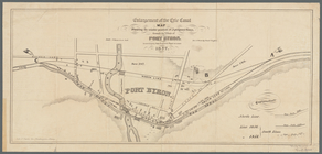
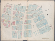
Map of the port & vicinity of…
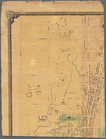
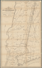
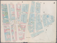
Town of Greenburgh: Westchest…
m
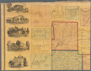
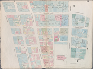
Map of the city of Albany: wi…
Enlargement of the Erie Canal…
Middle part of the southern c…
Eastern part of the southern …
m
Schuyler County, New York, wi…
A topographical map of Steube…
A topographical map of Lewis …
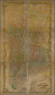
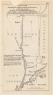
Map of the boundary between t…
Diagram showing the relative …
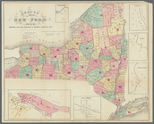
Census of the State of New Yo…
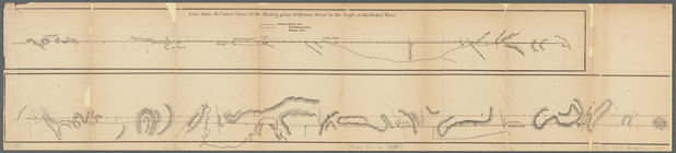
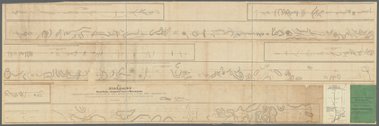
Diagrams of the New-York and …
m
Diagrams of the New-York and …
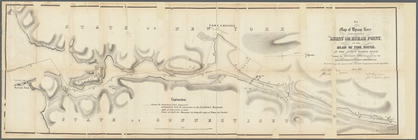
Map of Byram River from its m…
m
Map of the city of New-York e…
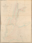
Map of the Harbor of New York…
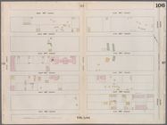
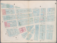
Map bounded by West 42nd Stre…
Map bounded by West 47th Stre…
Map bounded by West 47th Stre…
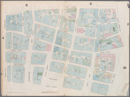
Map bounded by West 47th Stre…
Map bounded by West 52nd Stre…
Map bounded by West 52nd Stre…
Map bounded by West 52nd Stre…
Map bounded by West 57th Stre…
Map bounded by West 57th Stre…
Map bounded by West 57th Stre…
Map bounded by West 57th Stre…
Map bounded by East 57th Stre…
Map bounded by East 57th Stre…
Map bounded by East 62nd Stre…
Map bounded by East 62nd Stre…
Map bounded by East 62nd Stre…
Map bounded by West 59th Stre…
Map bounded by West 62nd Stre…
Map bounded by West 64th Stre…
Map bounded by West 72nd Stre…
Map bounded by West 67th Stre…
Map bounded by West 72nd Stre…
Map bounded by East 67th Stre…
Map bounded by East 67th Stre…
Map bounded by East 72nd Stre…
Map bounded by East 72nd Stre…
Map bounded by East 72nd Stre…
Map bounded by Battery Place,…
Map bounded by Rector Street,…
Map bounded by Dey Street, Br…
Map bounded by Maiden Lane, S…
Map bounded by Frankfort Stre…