Click to visit the main New York Public Library Homepage
The New York Public Library
Digital Collections
About Digital Collections
Browse
Search only public domain materials
Items
Collections
Divisions
Home
Search
Browse
About
Search only public domain materials
Items
Collections
Divisions
Digital Collections
Using Images
Using Data
Search
Filtered search
Show filters
Hide filters
Show Only Public Domain
topic
Real property
23
Landowners
21
Administrative and political divisions
15
Railroads
8
Geology
6
More
Less
name
Smith, Robert Pearsall, 1827-1898
8
French, J. H. (John Homer), 1824-1888
7
Beers, S. N
4
New York (N.Y.). Common Council
4
Valentine, D. T. (David Thomas), 1801-1869
4
More
Less
collection
x
Maps of New York City and State
place
x
New York (State)
New York (N.Y.)
15
New York
14
Manhattan (New York, N.Y.)
7
Brooklyn (New York, N.Y.)
5
More
Less
genre
Maps
58
Cadastral maps
19
Geological maps
2
Manuscript maps
2
Aerial views
1
More
Less
publisher
publisher not identified
10
Robert Pearsall Smith
4
W.E. & A.A. Baker
3
Croton Aqueduct Board
2
George Hayward
2
More
Less
division
Map Division
58
type
cartographic
58
still image
4
Date Range
to
58 results found
Filtering on:
x
Date
: 1858 - 1861
x
Place
: New York (State)
x
Collection
: Maps of New York City and State
For more collection details, visit the
Maps of New York City and State collection page
.
Sort by:
Title
Date created
Date digitized
Sequence
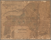
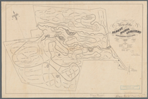
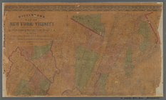
Plan of the Central Park, Cit…
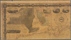
New York City and environs : …
m
Map of the consolidated City …
Flushing
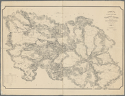
Map of the tertiary of Essex …
m
Map of Dutchess Co., New York…
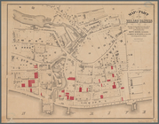
Map of Brooklyn at the time o…
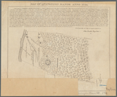
A map of part of the land in …
Map of the water pipes in the…
Atherton, St. Lawrence County…
m
Stony Point and Verplanck's P…
Map of Richland, Oswego Co. N…
m
Map of Suffolk Co., L.I., New…
Town & village of Ovid, Senec…
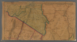
Map of Orange County: [New Yo…
Country-seat of Danl. P. Barn…
Map of part of Orange County,…
Map of New York, New England,…
m
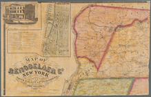
Map of Rensselaer Co., New Yo…
m
Gillette's map of Oneida Co.,…
m
Map of Orange and Rockland Co…
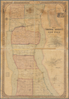
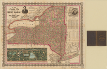
Map of the state of New York …
Map of Livingston Manor anno …
m
Map of Ontario County, New Yo…
Map of part of the village of…
m
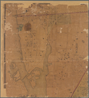
Map of the town of Morrisania…
Hempstead
Map of the Albany Rural Cemet…
m
The State of New York: from n…
m
The State of New York: from n…
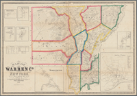
Map of Warren Co., New York
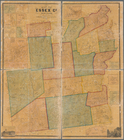
Map of Essex Co., New York
Map of Seneca County, New Yor…
Lake George and part of Lake …
Topographical map showing the…
Topographical map showing the…
Geological and land patent ma…
Map of Hamilton, St. Lawrence…
m
The State of New York: from n…
m
Map of Cayuga and Seneca Coun…
Map of Hamilton, St. Lawrence…
Grover & Baker's map of the s…
Map of the rail-roads of the …
Map of Saratoga Springs, Sara…
m
Higginson's map of New York a…
m
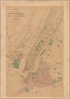
Map of the City of New York a…
Map of the cities of New York…
m
Bureau of roads
m
A new township map of the sta…
m
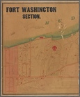
Fort Washington section.