Click to visit the main New York Public Library Homepage
The New York Public Library
Digital Collections
About Digital Collections
Browse
Search only public domain materials
Items
Collections
Divisions
Home
Search
Browse
About
Search only public domain materials
Items
Collections
Divisions
Digital Collections
Using Images
Using Data
Search
Filtered search
Show filters
Hide filters
Show Only Public Domain
topic
Real property
5801
Fire insurance
3589
Cities & towns
3573
Libraries
1032
History
855
More
Less
name
Sanborn Map Company
3568
New York Public Library
996
New York Public Library. Branch Libraries
740
Wurts Bros. (New York, N.Y.)
561
E. & H.T. Anthony (Firm)
326
More
Less
collection
Atlases of New York City
4497
Robert N. Dennis collection of stereoscopic views
2779
Wallach Division Picture Collection
2092
Atlases of the United States
1495
New York Public Library Visual Materials
995
More
Less
place
x
New York (State)
New York
6914
New York (N.Y.)
4021
Manhattan (New York, N.Y.)
1968
United States
719
More
Less
genre
Maps
6475
Photographs
5765
Stereographs
2779
Prints
2281
Atlases
1495
More
Less
publisher
Sanborn Map Company
3568
G.W. Bromley & Co
232
E. Robinson Co
209
Detroit Publishing Company
199
F. W. Beers & Co
148
More
Less
division
Map Division
6562
Wallach Division: Photography Collection
3271
Milstein Division
1585
Wallach Division: Picture Collection
1215
NYPL Archives
957
More
Less
type
still image
9118
cartographic
6554
text
389
notated music
20
Date Range
to
15,966 results found
Filtering on:
x
Date
: 1859 - 1899
x
Place
: New York (State)
Sort by:
Title
Date created
Date digitized
Sequence
Results 501 - 550
m
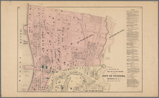
Topographical map of the stat…
Map of part of Bergen, Passai…
m
Preliminary geologic map of N…
Map of the city of Yonkers, F…
Map of the city of Yonkers, S…
m
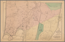
Map of the property of the Yo…
Southern part of Yonkers, and…
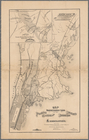
Plan of West Point
Northern coast of Long Island…
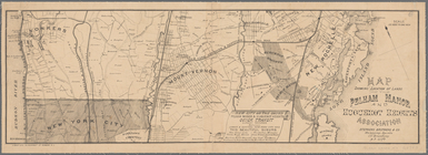
Plan of the Country Club Land…
m
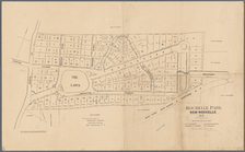
Village of New-Rochelle, New-…
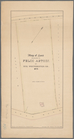
Rochelle Park, New-Rochelle, …
Plan of cemetery of the Everg…
Map of Niagara Falls, suspens…
M[ap of par]t of the property…
Albany Rural Cemetery, 1884: …
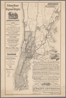
Rand, McNally & Co.'s indexed…
Map of the flats above Albany
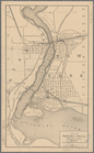
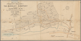
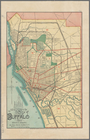
New map of the city of Buffalo
New York to New Rochelle: fro…
m
Asher & Adams' new topographi…
m
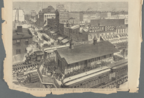
Third anniversary festival of…
New York City --The heart of …
Map of pr[op]erty of Union Av…
Map of the village of Lyon Mo…
1889, Larchmont Harbor, N.Y.:…
The Meadows: to be offered at…
Coast chart, no. 118, Napeagu…
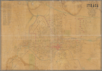
Map of City of Ithaca, N.Y.: …
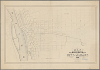
Map of the water pipes in the…
m
Post route map of the states …
Albany and vicinity
Map showing the rail roads wi…
Portions of 2nd, 3rd, and 4th…
Map showing location of lands…
Map showing location of lands…
Roundabout Richfield Springs …
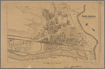
Port Jervis
Map showing location of lands…
m
Stony Point and Verplanck's P…
Southern New England and New …
Map of land belonging to Feli…
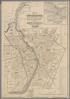
Map of Rochester: from the la…
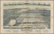
Riverhead, the home resort of…
Map of Richland, Oswego Co. N…
Portions of 1st, 2nd, and 3rd…
m
Map of the city of Poughkeeps…
Tenth l. h. district
Part of the third l. h. distr…
Map of northern boundary line…
1
2
3
4
5
6
7
8
9
10
…
63
64
Previous
Next
1
2
3
4
5
6
7
8
9
10
…
63
64
Previous
Next