Click to visit the main New York Public Library Homepage
The New York Public Library
Digital Collections
About Digital Collections
Browse
Search only public domain materials
Items
Collections
Divisions
Home
Search
Browse
About
Search only public domain materials
Items
Collections
Divisions
Digital Collections
Using Images
Using Data
Search
Filtered search
Show filters
Hide filters
Show Only Public Domain
topic
Administrative and political divisions
38
Railroads
33
Landowners
21
Real property
18
Ferries
17
More
Less
name
Dripps, M. (Matthew)
14
G.W. & C.B. Colton & Co
9
A. Brown & Co
7
McCloskey, Henry
5
Valentine, D. T. (David Thomas), 1801-1869
5
More
Less
collection
x
Maps of New York City and State
place
New York (State)
81
New York (N.Y.)
36
New York
34
Brooklyn (New York, N.Y.)
33
Manhattan (New York, N.Y.)
23
More
Less
genre
x
Maps
Cadastral maps
9
Manuscript maps
6
Topographic maps
3
Views
2
More
Less
publisher
publisher not identified
11
M. Dripps
9
G.W. & C.B. Colton & Co
7
A. Brown & Co
5
Common Council
3
More
Less
division
Map Division
115
Manuscripts and Archives Division
1
type
cartographic
115
still image
1
text
1
Date Range
to
116 results found
Filtering on:
x
Date
: 1863 - 1869
x
Genre
: Maps
x
Collection
: Maps of New York City and State
For more collection details, visit the
Maps of New York City and State collection page
.
Sort by:
Title
Date created
Date digitized
Sequence
New-York City, County, and vi…
Map of the country thirty thr…
Map of New York and vicinity …
Map of the country thirty thr…
New-York and vicinity as prop…
Map of the County of New York…
m
Sanitary & topographical map …
Design for laying out the gro…
Map of the county of Kings, s…
Watson's new map of the city …
New York and environs : desig…
New York and environs : desig…
m
Map of the City of New York a…
Map of the state of New York:…
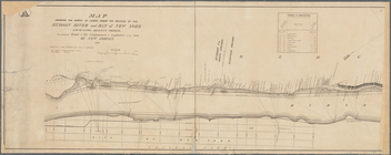
Map of the rail-roads of the …
A sketch of the operations of…
Colton's railroad & township …
Map of Long Island: showing t…
m
Asher & Adams' new topographi…
Map of lands in the town of Y…
m
Three maps of the property kn…
Map of Rockland Co: [New York]
m
Map of the City of Utica, One…
m
New map of the state of New Y…
m
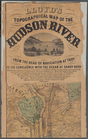
Lloyd's topographical map of …
m
Map of Clasons Point: in the …
A mappe of Colonel Römers voy…
A mappe of Colonel Römers voy…
White Plains, Westchester Co.…
1863, West Point: [New York]
Travellers map of Long Island
Field of the Missionary Convo…
Engineers map of the state of…
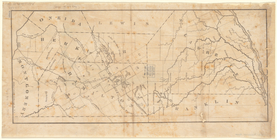
Map of New York State showing…
New-York
Map shewing the location of t…
Karte von New York: zu Kapp's…
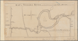
Map of Niagara River or the s…
A map of the county between C…
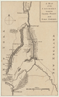
Map of Hamilton, St. Lawrence…
m
Lloyd's Topographical map of …
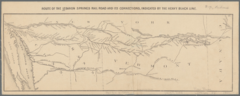
Route of the Lebanon Springs …
New map of northern New York …
Map of Hamilton, St. Lawrence…
Colton's Map of the New York …
m
Map showing the survey of lan…
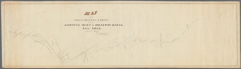
Map of a preliminary survey f…
m
James H. Kelly's business map…
m
12,000 Square Miles around Ne…
m
Map of Staten Island, Richmon…