Click to visit the main New York Public Library Homepage
The New York Public Library
Digital Collections
About Digital Collections
Browse
Search only public domain materials
Items
Collections
Divisions
Home
Search
Browse
About
Search only public domain materials
Items
Collections
Divisions
Digital Collections
Using Images
Using Data
Search
Filtered search
Show filters
Hide filters
Show Only Public Domain
topic
x
Real property
Landowners
46
Administrative and political divisions
16
Railroads
9
Estate
6
More
Less
name
Dripps, M. (Matthew)
9
J.B. Beers & Co
6
American Photo-Lithographic Company
3
Yonkers (N.Y.). Common Council
3
Cornell, Bradford and Baldwin
2
More
Less
collection
x
Maps of New York City and State
place
New York (State)
66
New York
23
Brooklyn (New York, N.Y.)
14
New York (N.Y.)
11
Yonkers (N.Y.)
10
More
Less
genre
Maps
66
Cadastral maps
41
Manuscript maps
10
Facsimiles
1
publisher
publisher not identified
9
M. Dripps
8
J.B. Beers & Co
6
Common Council
3
Egbert L. Viele, civil and topographical engineer
2
More
Less
division
Map Division
66
type
cartographic
66
text
1
Date Range
to
66 results found
Filtering on:
x
Date
: 1865 - 1885
x
Collection
: Maps of New York City and State
x
Topic
: Real property
For more collection details, visit the
Maps of New York City and State collection page
.
Sort by:
Title
Date created
Date digitized
Sequence
Map of part of the Manor of P…
Map of the town of Eastcheste…
Map of Long Island: showing t…
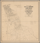
Map of the city of Yonkers, F…
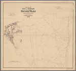
Map of the city of Yonkers, S…
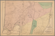
Southern part of Yonkers, and…
Map of pr[op]erty of Union Av…
Map of the village of Lyon Mo…
The Meadows: to be offered at…
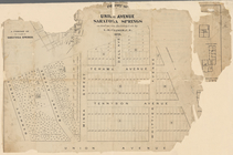
Portions of 2nd, 3rd, and 4th…
Map of land belonging to Feli…
Portions of 1st, 2nd, and 3rd…
m
Map of the city of Poughkeeps…
Map of lands in the town of Y…
m
Map of choice building sites …
Map showing location of lands…
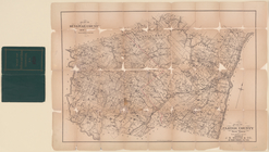
Plan of Orange County, New Yo…
Map of Dobbs Ferry and Hastin…
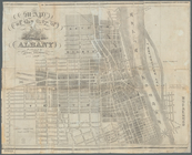
Map of the city of Albany
m
Map of the City of Utica, One…
m
Castle Ridge, Tarrytown, West…
m
Map of the highlands of the H…
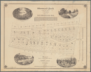
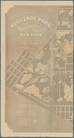
Shonnard Park at Yonkers, est…
m
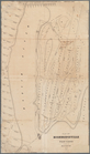
Huguenot Park, Westchester Co…
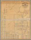
Map of Olean, New York
Map of Highbridgeville in the…
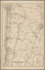
Town of Greenburgh, Westchest…
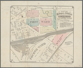
Map of Webster's Addition to …
Map of the city of Yonkers, T…
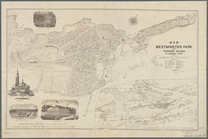
Map of Westminster Park of th…
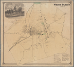
White Plains, Westchester Co.…
A plott of ye situations of t…
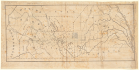
Plan of Sullivan County, New …
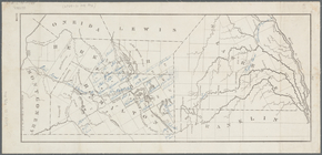
Map of Hamilton, St. Lawrence…
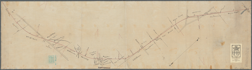
Plan showing route of Rochest…
Map of Hamilton, St. Lawrence…
Map showing the Adirondack La…
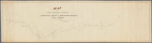
Map of a preliminary survey f…
m
Map of Staten Island, Richmon…
m
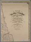
Map of the City of New York n…
m
Map of Staten Island (Richmon…
Map of the City of New York /…
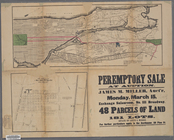
Peremptory sale at auction : …
Map of the cities of New York…
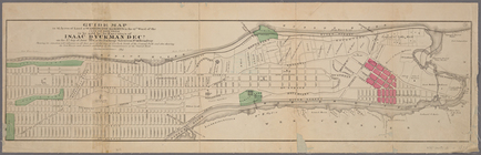
Guide map to 92 acres of land…
m
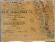
Map showing the high and low …
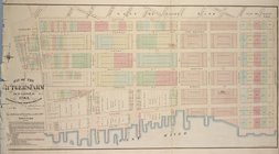
Map of the Rutger's Farm as i…
m
Map of the City of New York n…
m
Map of the 23rd ward, New Yor…
Map of land to be acquired un…