Click to visit the main New York Public Library Homepage
The New York Public Library
Digital Collections
About Digital Collections
Browse
Search only public domain materials
Items
Collections
Divisions
Home
Search
Browse
About
Search only public domain materials
Items
Collections
Divisions
Digital Collections
Using Images
Using Data
Search
Filtered search
Show filters
Hide filters
Show Only Public Domain
topic
Real property
892
Business enterprises
469
Description and travel
157
Administrative and political divisions
155
Railroads
128
More
Less
name
Beers, F. W. (Frederick W.)
561
J.B. Beers & Co
166
Stone & Stewart
151
Beers, D. G. (Daniel G.)
132
D.G. Beers & Co
131
More
Less
collection
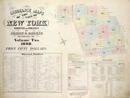
Atlases of the United States
1163
Maps of North America
365
Atlases of New York City
332
Maps of New York City and State
226
Maps of Asia
1
More
Less
place
New York (State)
999
New Jersey
143
Westchester County (N.Y.)
126
Long Island (N.Y.)
119
New York (N.Y.)
95
More
Less
genre
Maps
1880
Atlases
1124
Cadastral maps
76
Prints
72
Title pages
26
More
Less
publisher
Beers, Comstock & Cline
114
Stone & Stewart
99
Andreas, Baskin & Burr
90
publisher not identified
67
Walker & Jewett
64
More
Less
division
x
Map Division
type
cartographic
1945
text
160
still image
19
Date Range
to
2,089 results found
Filtering on:
x
Date
: 1866 - 1875
x
Division
: Map Division
Sort by:
Title
Date created
Date digitized
Sequence
Results 2001 - 2050
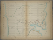
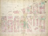
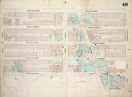
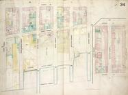
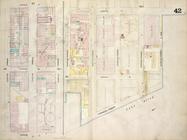
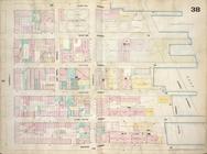
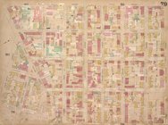
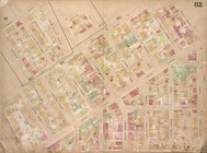
Bounded by W. 211th Street, H…
Bounded by W. 228th Street, H…
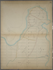
Map bounded by East Houston S…
Map bounded by Avenue A, East…
Map bounded by Fourth Avenue,…
Map bounded by East 22nd Stre…
Map bounded by Second Street,…
Map bounded by First Street, …
Map bounded by West 18th Stre…
Map bounded by Fifth Street, …
Map bounded by East 22nd Stre…
Map bounded by East 17th Stre…
Map bounded by West 22nd Stre…
Map bounded by Avenue D, Eigh…
Map bounded by Avenue A, East…
Map bounded by East 13th Stre…
Map bounded by Second Avenue,…
Map bounded by Sixth Street, …
Map bounded by Avenue A, East…
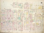
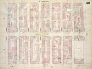
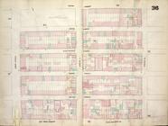
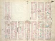
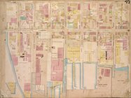
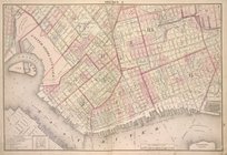
Insurance Maps of The City of…
Map bounded by East 17th Stre…
Map bounded by Sixth Street, …
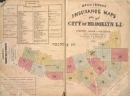
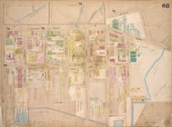
Higginson's Insurance Maps of…
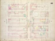
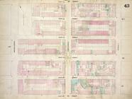
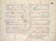
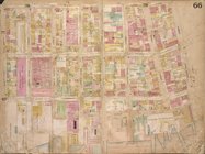
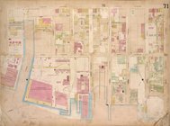
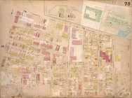
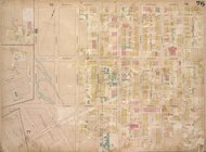
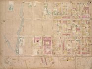
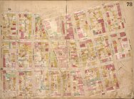
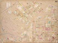
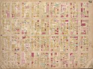
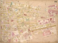
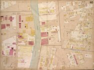
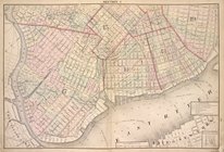
Brooklyn, Vol. 4, Double Page…
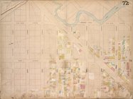
Brooklyn, Vol. 4, Double Page…
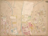
Brooklyn, Vol. 4, Double Page…
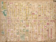
Brooklyn, Vol. 4, Double Page…
Brooklyn, Vol. 4, Double Page…
Brooklyn, Vol. 4, Double Page…
Brooklyn, Vol. 4, Double Page…
Brooklyn, Vol. 4, Double Page…
Brooklyn, Vol. 4, Double Page…
Brooklyn, Vol. 4, Double Page…
Brooklyn, Vol. 4, Double Page…
Brooklyn, Vol. 4, Double Page…
Brooklyn, Vol. 4, Double Page…
Brooklyn, Vol. 4, Double Page…
Brooklyn, Vol. 4, Double Page…
Brooklyn, Vol. 4, Double Page…
Brooklyn, Vol. 4, Double Page…
Brooklyn, Vol. 4, Double Page…
Brooklyn, Vol. 4, Double Page…
Brooklyn, Vol. 4, Double Page…
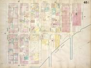
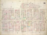
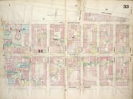
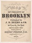
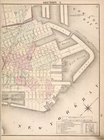
Farm Line Map of the City of …
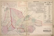
Index to map of the city of B…
Brooklyn, Double Page Section…
Brooklyn, Double Page Section…
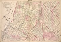
Brooklyn, Section 3; [Includi…
Brooklyn, Double Page Section…
Brooklyn, Double Page Section…
1
2
3
4
5
6
7
8
9
Previous
Next
1
2
3
4
5
6
7
8
9
Previous
Next