Click to visit the main New York Public Library Homepage
The New York Public Library
Digital Collections
About Digital Collections
Browse
Search only public domain materials
Items
Collections
Divisions
Home
Search
Browse
About
Search only public domain materials
Items
Collections
Divisions
Digital Collections
Using Images
Using Data
Search
Filtered search
Show filters
Hide filters
Show Only Public Domain
topic
Real property
4694
Cities & towns
3838
Fire insurance
3838
Description and travel
112
name
Sanborn Map Company
3838
G.W. Bromley & Co
312
E. Robinson Co
306
Robinson, E. (Elisha)
263
Bromley, George Washington
232
More
Less
collection
x
Atlases of New York City
place
New York (State)
4694
New York
856
Brooklyn (New York, N.Y.)
405
Manhattan (New York, N.Y.)
255
New York (N.Y.)
205
More
Less
genre
Maps
5033
Title pages
35
Indexes
27
Index maps
17
pages (components)
13
More
Less
publisher
Sanborn Map Company
3838
E. Robinson Co
305
G.W. Bromley & Co
232
E.B. Hyde & Co
118
Beers, Comstock & Cline
112
More
Less
division
Map Division
5110
type
cartographic
5043
text
83
still image
1
Date Range
to
5,110 results found
Filtering on:
x
Date
: 1869 - 1903
x
Rights
: Public Domain
x
Collection
: Atlases of New York City
For more collection details, visit the
Atlases of New York City collection page
.
Sort by:
Title
Date created
Date digitized
Sequence
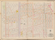
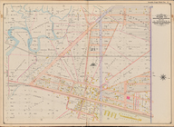
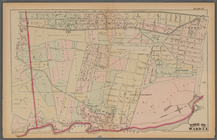
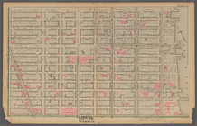
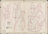
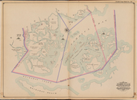
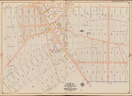
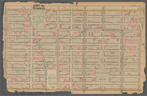
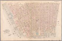
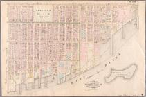
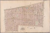
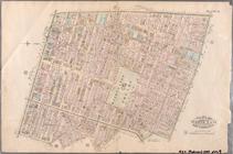
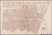
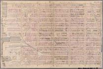
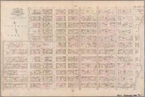
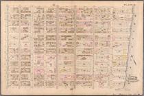
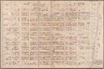
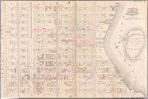
[Bounded by Avenue H, E. 18th…
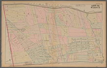
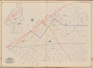
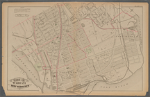
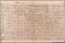
Plate 25: : [Bounded by Twelf…
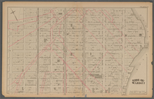
Plate 21: : [Bounded by E. 86…
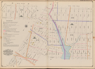
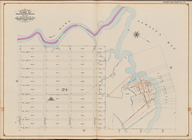
Plate 17:: Bounded by (Hudson…
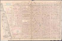
Bounded by Avenue L, E. 19th …
Bounded by Stillwell Ave., Av…
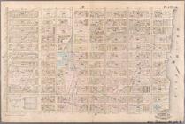
Plate 37:: [Bounded by New Yo…
Plate 13:: [Bounded by W. 38t…
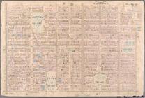
Plate 45: Map No. 20 [Bounded…
Plate 38:: [Bounded by (Harle…
Plate 30:: [Bounded by W. 152…
Plate 31:: [Bounded by Hudson…
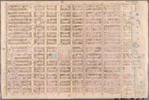
Jamaica Bay and Rockaway Beac…
Bounded by Avenue Q, E. 36th …
Plate 20:: [Bounded by E. 74t…
Bounded by E. 52nd St., Avenu…
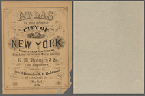
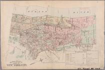
Atlas of the entire city of N…
Plate 16:: [Bounded by W. 62n…
Bounded by W. 12th St., Avenu…
Bounded by Avenue V, Ocean Av…
Bounded by Avenue K, E. 53rd …
Plate 34:: [Bounded by 156th …
Plate 24:: [Bounded by E. 120…
Bounded by (Fresh Creek) E. 1…
Plate 12:: [Bounded by W. 26t…
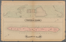
Plate 41:: [Central Park boun…
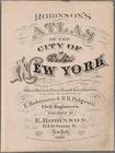
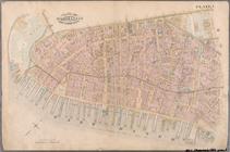
Atlas of the city of New York…
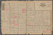
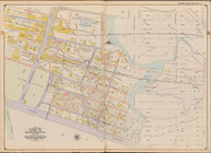
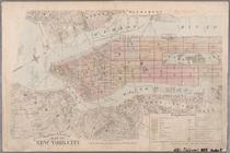
Outline & Index Map of New Yo…
Outline & Index Map of New Yo…
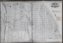
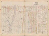
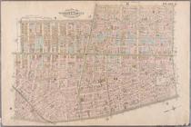
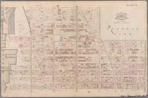
Plate 1: Bounded by Battery P…
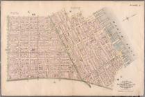
Plate 2: Bounded by West Stre…
Plate 3: Bounded by West Stre…
Plate 4: West Broadway, Canal…
Plate 5: Bounded by Clinton S…
Plate 6: Bounded by Rutgers S…
Plate 7: Bounded by Avenue A,…
Plate 8: Bounded by Bowery, F…
Plate 9: Bounded by Fourth Av…
Plate 10: Bounded by West Str…
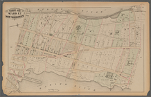
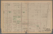
Plate 11: Bounded by W. 27th …
Plate 12: Bounded by W. 27th …
Plate 13: Bounded by W. 40th …
Plate 14: Bounded by W. 40th …
Plate 15: Bounded by W. 52nd …
Plate 16: Bounded by W. 52nd …
Plate 17: Bounded by W. 64th …
Plate 18: Bounded by E. 64th …
Plate 19: Bounded by E. 76th …
Plate 20: Bounded by E. 89th …
Plate 21: Bounded by E. 102nd…
1
2
3
4
5
6
7
8
9
10
…
20
21
Previous
Next
1
2
3
4
5
6
7
8
9
10
…
20
21
Previous
Next