Click to visit the main New York Public Library Homepage
The New York Public Library
Digital Collections
About Digital Collections
Browse
Search only public domain materials
Items
Collections
Divisions
Home
Search
Browse
About
Search only public domain materials
Items
Collections
Divisions
Digital Collections
Using Images
Using Data
Search
Filtered search
Show filters
Hide filters
Show Only Public Domain
topic
Real property
861
Business enterprises
180
Administrative and political divisions
69
Railroads
66
Landowners
45
More
Less
name
Everts, Ensign & Everts
175
F.W. Beers & Co
148
D.G. Beers & Co
142
G.M. Hopkins & Co
101
Beers, F. W. (Frederick W.)
100
More
Less
collection
Atlases of the United States
780
Maps of New York City and State
220
Atlases of New York City
179
Maps of North America
6
place
x
New York (State)
New York
229
Brooklyn (New York, N.Y.)
173
Erie County
148
Erie County (N.Y.)
148
More
Less
genre
x
Maps
Atlases
780
Cadastral maps
35
Manuscript maps
15
Topographic maps
5
More
Less
publisher
F. W. Beers & Co
148
G.M. Hopkins & Co
101
G. W. Bromley & E. Robinson
78
D.G. Beers
51
Everts, Ensign & Everts
43
More
Less
division
Map Division
1185
type
cartographic
1185
text
10
Date Range
to
1,185 results found
Filtering on:
x
Date
: 1870 - 1880
x
Genre
: Maps
x
Place
: New York (State)
Sort by:
Title
Date created
Date digitized
Sequence
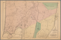
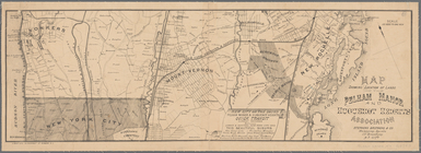
Map of the Hackensack & New Y…
m
The surroundings of New York …
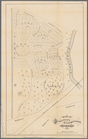
Map showing the present dista…
Map of the country thirty thr…
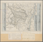
Map showing location of lands…
Map of the country thirty thr…
m
Map of the city of Brooklyn
Colton's New York City, Brook…
m
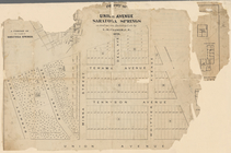
Watson's new map of New York …
m
Watson's new map of New York,…
m
Map of Long Island and the so…
Map of the rail roads of the …
Map of the rail roads of the …
Map shewing the location of t…
Map showing the New York and …
Position de l'armée Américain…
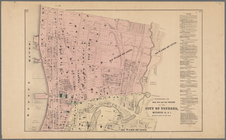
Map of New York City and of M…
Plan of the Battle of Long Is…
m
Colton's new map of Long Isla…
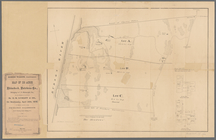
Map of part of the Manor of P…
Map of the town of Eastcheste…
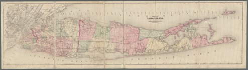
Map of Long Island
Map of Long Island: showing t…
Map showing the only all rail…
m
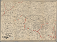
Map of the Catskill Mountains
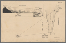
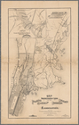
Adirondack survey, 1873: prim…
m
Map of the Catskill Mountains
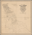
Map of the city of Yonkers, F…
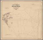
Map of the city of Yonkers, S…
Southern part of Yonkers, and…
Plan of West Point
Northern coast of Long Island…
Plan of cemetery of the Everg…
Map of the flats above Albany
New York to New Rochelle: fro…
Map of pr[op]erty of Union Av…
The Meadows: to be offered at…
m
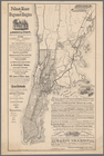
Post route map of the states …
Portions of 2nd, 3rd, and 4th…
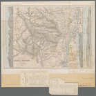
Map showing location of lands…
Map showing location of lands…
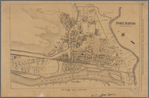
Port Jervis
Map showing location of lands…
Southern New England and New …
Map of land belonging to Feli…
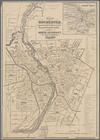
Map of Rochester: from the la…
Portions of 1st, 2nd, and 3rd…
Map of northern boundary line…
m
Three maps of the property kn…
m
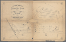
Map of choice building sites …
1
2
3
4
5
Previous
Next
1
2
3
4
5
Previous
Next