Click to visit the main New York Public Library Homepage
The New York Public Library
Digital Collections
About Digital Collections
Browse
Search only public domain materials
Items
Collections
Divisions
Home
Search
Browse
About
Search only public domain materials
Items
Collections
Divisions
Digital Collections
Using Images
Using Data
Search
Filtered search
Show filters
Hide filters
Show Only Public Domain
topic
Libraries
1131
Real property
849
Branch libraries
742
Buildings, structures, etc
620
Historic buildings
576
More
Less
name
New York Public Library
1095
New York Public Library. Branch Libraries
744
Wurts Bros. (New York, N.Y.)
545
G.W. Bromley & Co
312
New York Public Library. Humanities and Social Sciences Library
261
More
Less
collection
Wallach Division Picture Collection
1627
New York Public Library Visual Materials
1100
Atlases of New York City
814
Collection of photographs of New York City
528
Photographic views of New York City, 1870's-1970's, from the collections of the New York Public Library
455
More
Less
place
x
New York
New York (State)
6275
New York (N.Y.)
3295
Manhattan (New York, N.Y.)
1374
Brooklyn (New York, N.Y.)
566
More
Less
genre
Photographs
3103
Prints
1274
Maps
994
Stereographs
384
Views
308
More
Less
publisher
G.W. Bromley & Co
232
E. Robinson Co
209
E.B. Hyde & Co
118
G.M. Hopkins & Co
108
Mail & Express
94
More
Less
division
Milstein Division
1256
NYPL Archives
1053
Map Division
1027
Wallach Division: Picture Collection
953
Wallach Division: Photography Collection
650
More
Less
type
still image
5161
cartographic
1004
text
221
moving image
7
Date Range
to
6,290 results found
Filtering on:
x
Date
: 1870 - 1902
x
Place
: New York
Sort by:
Title
Date created
Date digitized
Sequence
Results 1251 - 1300
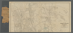
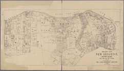
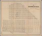
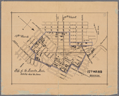
Map of New Brighton, Staten I…
m
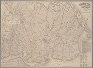
Map of the borough of the Bro…
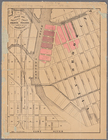
Map of property at New Bright…
m
Map of the route of the New Y…
m
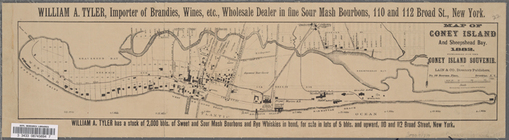
Map of Coney Island and Sheep…
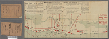
Taunton's map of Coney Island…
m
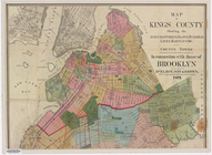
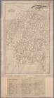
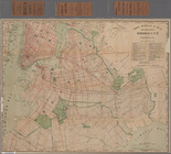
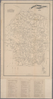
Map of Kings County, includin…
New map of Brooklyn including…
m
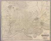
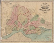
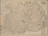
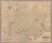
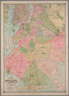
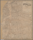
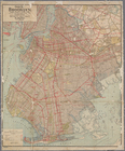
Map of the city of Brooklyn
m
New map of the city of Brookl…
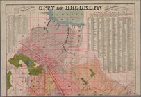
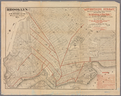
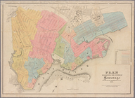
Brooklyn
Map of the city of Brooklyn, …
The New York and Manhattan Be…
New map of the city of Brookl…
m
Map of Kings County: showing …
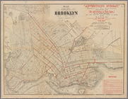
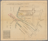
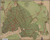
Plan exhibiting the system of…
m
New map of the city of Brookl…
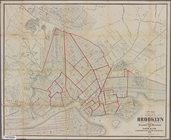
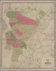
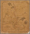
Map of Brooklyn and vicinity
m
Map of the city of Brooklyn
m
Brooklyn City Hall
m
Fire Department map of the ci…
m
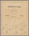
Prospect Park, plaza lots
m
Map showing the injury to the…
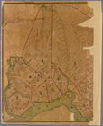
Map of the homestead of the l…
Map of property belonging to …
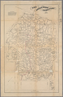
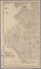
Index map to Bensonhurst-by-t…
m
Map of the enlarged city of B…
Watson's new map of Brooklyn …
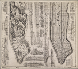
Sectional map of New York, Br…
m
Map and profile of the New Yo…
Map of Coney Island and Sheep…
Map of the Eureka Basin, incl…
New map of Brooklyn and vicin…
Map showing route of proposed…
Green-Wood Cemetery
Map of property owned by Fran…
m
Colton's new indexed map of t…
Rand McNally & Co.'s new hand…
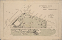
University Park, Brooklyn, N.…
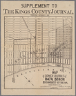
Map of sewer district of Bath…
Green-Wood Cemetery, 1886
Handy map of Brooklyn showing…
m
The Green-Wood cemetery 1897
Guide map of the borough of B…
Map of the city of Brooklyn
m
Map of the enlarged city of B…
Index map to Bensonhurst-by-t…
m
Geologic map and sections of …
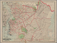
Map of Long Island City, Quee…
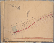
Map of the street railway run…
1
2
3
4
5
6
7
8
9
10
…
25
26
Previous
Next
1
2
3
4
5
6
7
8
9
10
…
25
26
Previous
Next