Click to visit the main New York Public Library Homepage
The New York Public Library
Digital Collections
About Digital Collections
Browse
Search only public domain materials
Items
Collections
Divisions
Home
Search
Browse
About
Search only public domain materials
Items
Collections
Divisions
Digital Collections
Using Images
Using Data
Search
Filtered search
Show filters
Hide filters
Show Only Public Domain
topic
Libraries
1131
Real property
849
Branch libraries
742
Buildings, structures, etc
620
Historic buildings
576
More
Less
name
New York Public Library
1095
New York Public Library. Branch Libraries
744
Wurts Bros. (New York, N.Y.)
545
G.W. Bromley & Co
312
New York Public Library. Humanities and Social Sciences Library
261
More
Less
collection
Wallach Division Picture Collection
1627
New York Public Library Visual Materials
1100
Atlases of New York City
814
Collection of photographs of New York City
528
Photographic views of New York City, 1870's-1970's, from the collections of the New York Public Library
455
More
Less
place
x
New York
New York (State)
6275
New York (N.Y.)
3295
Manhattan (New York, N.Y.)
1374
Brooklyn (New York, N.Y.)
566
More
Less
genre
Photographs
3103
Prints
1274
Maps
994
Stereographs
384
Views
308
More
Less
publisher
G.W. Bromley & Co
232
E. Robinson Co
209
E.B. Hyde & Co
118
G.M. Hopkins & Co
108
Mail & Express
94
More
Less
division
Milstein Division
1256
NYPL Archives
1053
Map Division
1027
Wallach Division: Picture Collection
953
Wallach Division: Photography Collection
650
More
Less
type
still image
5161
cartographic
1004
text
221
moving image
7
Date Range
to
6,290 results found
Filtering on:
x
Date
: 1870 - 1902
x
Place
: New York
Sort by:
Title
Date created
Date digitized
Sequence
Results 2001 - 2050
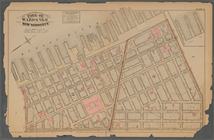
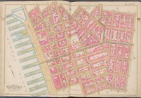
Map bound by Meadow St., Metr…
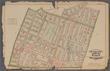
Map bound by Flushing Ave., B…
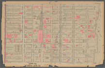
Map bound by Bogart St., Tham…
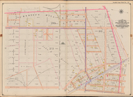
Map bound by City Line, Green…
Map bound by Central Ave., Hi…
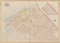
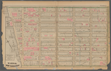
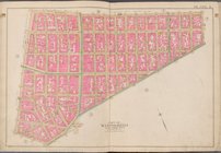
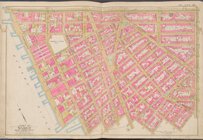
Plate 15:: [Bounded by W. 50…
Bounded by E. 14th St., Avenu…
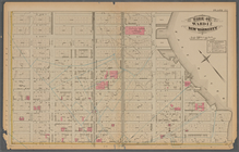
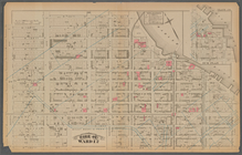
Plate 29:: [Bounded by W. 133…
Plate 35:: [Bounded by Gouver…
Bounded by (Gravesend Bay) Wa…
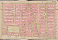
Plate 22:: [Bounded by E. 98t…
Sub Plan from Plate 33 [Barre…
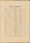
Index to Streets [Albany Ave …
Plate 11:: [Bounded by W. 26t…
Bounded by Flatbush Ave., Ave…
Plate 28:: [Bounded by W. 133…
Bounded by Rockaway Ave., Vie…
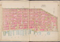
Plate 3:: [Bounded by (Hudson…
Plate 9:: [Bounded by Hancock…
Plate 18:: [Bounded by W. 50t…
Bounded by E. 17th St., Foste…
Bounded by Bayview Ave., (Gra…
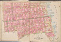
Plate 6:: [Bounded by Rutgers…
Bounded by Avenue T, Kimball …
Bounded by West St., (Brookly…
Bounded by Nostrand Ave., Ave…
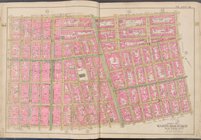
Plate 32:: [Bounded by (Hudso…
Bounded by Avenue E (Ditmas A…
Plate 23:: [Bounded by E. 110…
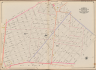
Atlas of the Brooklyn borough…
Bounded by Ocean Parkway, Ave…
Bounded by (Atlantic Ocean, M…
Bounded by Flatlands Ave., Pa…
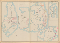
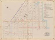
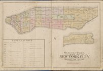
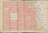
Outline and Index map of New …
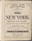
Atlas of city of New York Man…
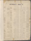
Street Index
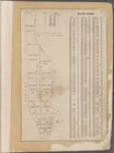
Block Index
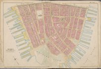
Map bounded by Liberty St., M…
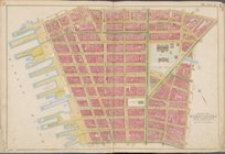
Map bounded by Jay St., Thoma…
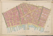
Map bounded by William St., P…
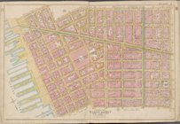
Map bounded by Spring St., Br…
Map bounded by Broome St., Di…
Map bounded by Division St., …
Map bounded by E. 3rd St., Ea…
Map bounded by W. 3rd St., E.…
Map bounded by Charles St., W…
Map bounded by W. 14th St., 6…
Map bounded by E. 14th St., 1…
Map bounded by E. 14th St., E…
Map bounded by W. 25th St., 7…
1
2
…
6
7
8
9
10
11
12
13
…
25
26
Previous
Next
1
2
…
6
7
8
9
10
11
12
13
…
25
26
Previous
Next