Click to visit the main New York Public Library Homepage
The New York Public Library
Digital Collections
About Digital Collections
Browse
Search only public domain materials
Items
Collections
Divisions
Home
Search
Browse
About
Search only public domain materials
Items
Collections
Divisions
Digital Collections
Using Images
Using Data
Search
Filtered search
Show filters
Hide filters
Show Only Public Domain
topic
Railroads
65
Administrative and political divisions
60
Real property
27
Landowners
25
Local transit
25
More
Less
name
Watson, Gaylord
11
G.W. & C.B. Colton & Co
8
G.W. & C.B. Colton & Co
8
Taunton, S. D. L
6
American Bank Note Company
5
More
Less
collection
x
Maps of New York City and State
place
New York (State)
168
New York (N.Y.)
58
Manhattan (New York, N.Y.)
49
New York
39
Brooklyn (New York, N.Y.)
37
More
Less
genre
Maps
202
Cadastral maps
20
Manuscript maps
8
Tourist maps
8
Aerial views
4
More
Less
publisher
publisher not identified
13
G.W. & C.B. Colton & Co
6
Engraved, printed and published by G.W. & C.B. Colton & Co
5
G.W. and C.B. Colton & Co
5
Gaylord Watson
5
More
Less
division
Map Division
202
type
x
cartographic
text
2
still image
1
Date Range
to
202 results found
Filtering on:
x
Date
: 1875 - 1884
x
Collection
: Maps of New York City and State
x
Type
: cartographic
For more collection details, visit the
Maps of New York City and State collection page
.
Sort by:
Title
Date created
Date digitized
Sequence
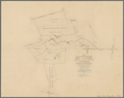
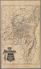
Sketch map of the City of New…
Sketch map of the city of New…
Map of the Hackensack & New Y…
Map of New York, Brooklyn, an…
m
The surroundings of New York …
Map showing the present dista…
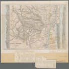
Map of the country thirty thr…
New map of the great metropol…
m
Taunton new guide map and dir…
Map of New York City, south o…
New map of Brooklyn and vicin…
m
Watson's new map of New York …
m
Watson's new map of New York …
Position de l'armée Américain…
Map of New York City and of M…
Plan of the Battle of Long Is…
m
Colton's new map of Long Isla…
Map of part of the Manor of P…
Map of the town of Eastcheste…
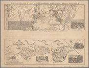
Battle of Long Island
Map showing the only all rail…
m
Maps of the picturesque Catsk…
m
Map of the Catskill Mountains
m
Map of the Catskill Mountains
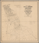
Map of the city of Yonkers, F…
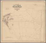
Map of the city of Yonkers, S…
Plan of West Point
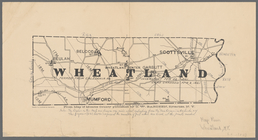
Wheatland: from map of Monroe…
Albany Rural Cemetery, 1884: …
Map of the flats above Albany
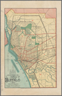
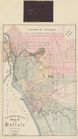
New map of the city of Buffalo
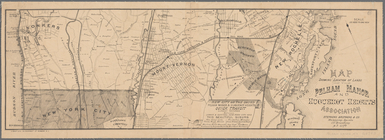
New York to New Rochelle: fro…
Map of the village of Lyon Mo…
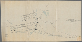
Map showing the rail roads wi…
Niagara Falls: from surveys e…
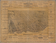
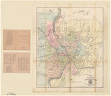
Map of the city of Rochester
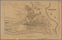
Port Jervis
Map showing location of lands…
Newburgh, N.Y., 1878
m
Map of the city of Rochester
m
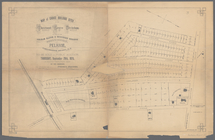
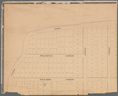
Map of choice building sites …
Map showing location of lands…
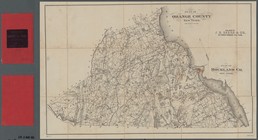
Plan of Orange County, New Yo…
The Courier Company's map of …
m
Castle Ridge, Tarrytown, West…
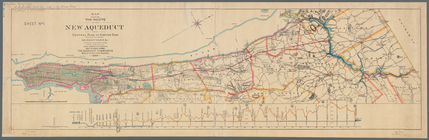
Map showing the route of the …
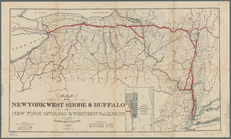
Map of the New York West Shor…
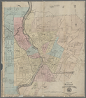
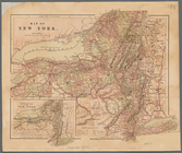
Map of New York
Bird's-eye view of the mounta…
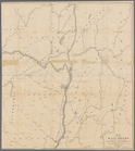
Map of the Adirondacks, as re…